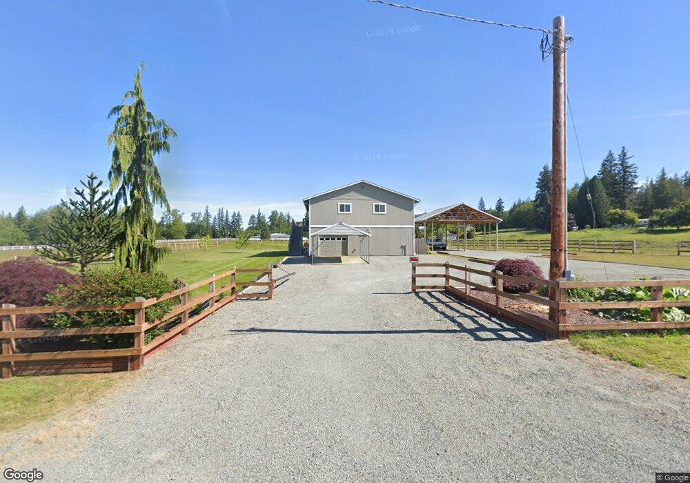
22673 Bulson Rd Mount Vernon, WA 98274
Estimated Value: $737,460 - $940,000
2
Beds
2
Baths
1,584
Sq Ft
$539/Sq Ft
Est. Value
About This Home
This home is located at 22673 Bulson Rd, Mount Vernon, WA 98274 and is currently estimated at $853,365, approximately $538 per square foot. 22673 Bulson Rd is a home with nearby schools including Conway School.
Ownership History
Date
Name
Owned For
Owner Type
Purchase Details
Closed on
Sep 6, 2011
Sold by
Knight Greg and Knight Shelley C
Bought by
Crane Thomas L and Crane Maureen R
Current Estimated Value
Home Financials for this Owner
Home Financials are based on the most recent Mortgage that was taken out on this home.
Original Mortgage
$105,000
Outstanding Balance
$8,629
Interest Rate
4.48%
Mortgage Type
New Conventional
Estimated Equity
$844,736
Purchase Details
Closed on
Oct 26, 2009
Sold by
Knight Greg and Knight Shelley C
Bought by
Knight Greg and Knight Shelley C
Create a Home Valuation Report for This Property
The Home Valuation Report is an in-depth analysis detailing your home's value as well as a comparison with similar homes in the area
Home Values in the Area
Average Home Value in this Area
Purchase History
| Date | Buyer | Sale Price | Title Company |
|---|---|---|---|
| Crane Thomas L | $103,780 | First American Title Insuran | |
| Knight Greg | -- | Land Title Company |
Source: Public Records
Mortgage History
| Date | Status | Borrower | Loan Amount |
|---|---|---|---|
| Open | Crane Thomas L | $105,000 |
Source: Public Records
Tax History Compared to Growth
Tax History
| Year | Tax Paid | Tax Assessment Tax Assessment Total Assessment is a certain percentage of the fair market value that is determined by local assessors to be the total taxable value of land and additions on the property. | Land | Improvement |
|---|---|---|---|---|
| 2024 | $5,595 | $670,700 | $256,800 | $413,900 |
| 2023 | $5,595 | $619,200 | $240,000 | $379,200 |
| 2022 | $4,472 | $580,800 | $232,000 | $348,800 |
| 2021 | $4,449 | $449,300 | $175,500 | $273,800 |
| 2020 | $4,145 | $413,100 | $0 | $0 |
| 2019 | $3,536 | $383,500 | $0 | $0 |
| 2018 | $3,993 | $331,800 | $0 | $0 |
| 2017 | $4,038 | $316,600 | $0 | $0 |
| 2016 | $3,895 | $322,900 | $128,600 | $194,300 |
| 2015 | $3,451 | $301,400 | $120,100 | $181,300 |
| 2013 | $3,527 | $249,100 | $0 | $0 |
Source: Public Records
Map
Nearby Homes
- 22539 Fieldstone Ln
- 22414 Bulson Rd
- 21314 Starbird Rd
- 19687 Trophy Ln
- 23158 Bonnieview Rd
- 3723 324th St NW
- 20616 Bulson Rd
- 0 Milltown Crossing Rd Unit NWM2358059
- 23330 State Route 534
- 5707 316th St NW
- 32210 68th Ave NW
- 31614 60th Ave NW
- 23738 Carlson Place
- 31628 19th Dr NW
- 33020 84th Ave NW
- 7615 318th St NW
- 30404 44th Ave NW
- 22969 Lake McMurray Ln
- 0 52nd Ave NW Unit NWM2321229
- 20519 Benson Ridge Ln
- 22684 Bulson Rd
- 22626 Bulson Rd
- 22605 Bulson Rd
- 22325 Stargate Place
- 21027 Tyee Rd
- 22352 Stargate Place
- 21044 Tyee Rd
- 22558 Bulson Rd
- 22320 Stargate Place
- 21073 Tyee Rd
- 22851 Bulson Rd
- 22828 Bulson Rd
- 21077 Tyee Rd
- 21103 Tyee Rd
- 22524 Bulson Rd
- 21102 Tyee Rd
- 22896 Bulson Rd
- 22496 Bulson Rd
- 22495 Bulson Rd
- 22486 Bulson Rd