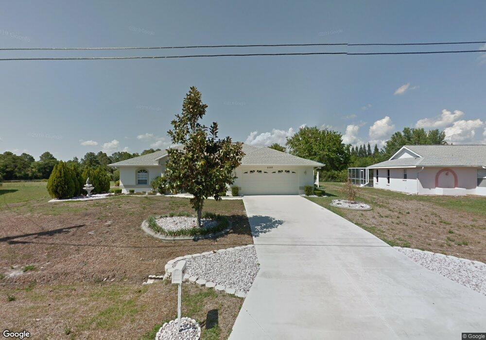
2268 Snover Ave North Port, FL 34286
Estimated Value: $360,618 - $427,000
3
Beds
2
Baths
2,018
Sq Ft
$196/Sq Ft
Est. Value
About This Home
This home is located at 2268 Snover Ave, North Port, FL 34286 and is currently estimated at $395,405, approximately $195 per square foot. 2268 Snover Ave is a home located in Sarasota County with nearby schools including Toledo Blade Elementary School, North Port High School, and Woodland Middle School.
Ownership History
Date
Name
Owned For
Owner Type
Purchase Details
Closed on
Jul 29, 2011
Sold by
Hamm Christine Louise
Bought by
Merkes Dennis R and Merkes Anita J
Current Estimated Value
Purchase Details
Closed on
Nov 4, 2010
Sold by
Machado Edward
Bought by
Machado Edward and Edward Machado Declaration Of Trust
Purchase Details
Closed on
Jan 8, 2003
Sold by
Fiata Wendy J and Brown William H
Bought by
Machado Edward and Machado Carolyn A
Purchase Details
Closed on
Jul 23, 1996
Sold by
Philbrick Raymond A and Philbrick Gloria R
Bought by
Holiday Bldr
Create a Home Valuation Report for This Property
The Home Valuation Report is an in-depth analysis detailing your home's value as well as a comparison with similar homes in the area
Home Values in the Area
Average Home Value in this Area
Purchase History
| Date | Buyer | Sale Price | Title Company |
|---|---|---|---|
| Merkes Dennis R | $120,000 | None Available | |
| Machado Edward | -- | Attorney | |
| Machado Edward | $13,500 | -- | |
| Machado Edward | $13,500 | -- | |
| Holiday Bldr | $15,000 | -- |
Source: Public Records
Tax History Compared to Growth
Tax History
| Year | Tax Paid | Tax Assessment Tax Assessment Total Assessment is a certain percentage of the fair market value that is determined by local assessors to be the total taxable value of land and additions on the property. | Land | Improvement |
|---|---|---|---|---|
| 2024 | $5,793 | $336,021 | -- | -- |
| 2023 | $5,793 | $377,000 | $34,700 | $342,300 |
| 2022 | $5,133 | $338,300 | $36,500 | $301,800 |
| 2021 | $4,313 | $229,400 | $16,600 | $212,800 |
| 2020 | $4,122 | $215,200 | $15,200 | $200,000 |
| 2019 | $3,769 | $195,400 | $16,800 | $178,600 |
| 2018 | $3,506 | $188,300 | $17,400 | $170,900 |
| 2017 | $3,278 | $170,489 | $0 | $0 |
| 2016 | $3,209 | $173,700 | $12,700 | $161,000 |
| 2015 | $2,901 | $140,900 | $6,100 | $134,800 |
| 2014 | $2,714 | $119,100 | $0 | $0 |
Source: Public Records
Map
Nearby Homes
- 2031 Baltimore St
- 2657 Tusket Ave
- 2551 Alhaven Terrace
- 2111 Baltimore St
- Lot 5 Alhaven Terrace
- 0 Ann Arbor Rd Unit A4520722
- 1372 Vendome Terrace
- 0 Wyola Ave Unit MFRC7507151
- Lot 32 Baltimore St
- 0 Yacolt Ave Unit MFRA4665223
- 0 Snover Ave
- 2637 Tishman Ave
- 1480 Wise Dr
- 1956 Snover Ave
- LOT 9 Trilby Ave
- Lot 44 & 45 Trilby Ave
- LOT 8 Trilby Ave
- 0 Trilby Ave Unit R11102643
- 0 Stockton Ave Unit MFRNS1086295
- 0 Stockton Ave Unit MFRA4622860