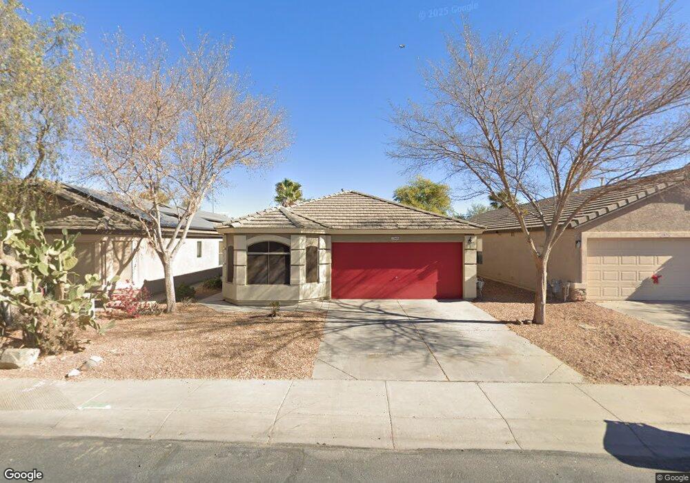
22685 N Scott Dr Maricopa, AZ 85138
Rancho El Dorado NeighborhoodEstimated Value: $273,888 - $304,000
--
Bed
--
Bath
1,435
Sq Ft
$203/Sq Ft
Est. Value
About This Home
This home is located at 22685 N Scott Dr, Maricopa, AZ 85138 and is currently estimated at $291,972, approximately $203 per square foot. 22685 N Scott Dr is a home located in Pinal County with nearby schools including Pima Butte Elementary School, Maricopa High School, and Desert Wind Middle School.
Ownership History
Date
Name
Owned For
Owner Type
Purchase Details
Closed on
Jul 28, 2003
Sold by
Continental Homes Inc
Bought by
Gutierrez Michael C and Gutierrez Monique A
Current Estimated Value
Home Financials for this Owner
Home Financials are based on the most recent Mortgage that was taken out on this home.
Original Mortgage
$119,786
Outstanding Balance
$50,940
Interest Rate
5.15%
Mortgage Type
FHA
Estimated Equity
$241,032
Create a Home Valuation Report for This Property
The Home Valuation Report is an in-depth analysis detailing your home's value as well as a comparison with similar homes in the area
Home Values in the Area
Average Home Value in this Area
Purchase History
| Date | Buyer | Sale Price | Title Company |
|---|---|---|---|
| Gutierrez Michael C | $121,667 | Century Title Agency Inc |
Source: Public Records
Mortgage History
| Date | Status | Borrower | Loan Amount |
|---|---|---|---|
| Open | Gutierrez Michael C | $119,786 |
Source: Public Records
Tax History Compared to Growth
Tax History
| Year | Tax Paid | Tax Assessment Tax Assessment Total Assessment is a certain percentage of the fair market value that is determined by local assessors to be the total taxable value of land and additions on the property. | Land | Improvement |
|---|---|---|---|---|
| 2025 | $1,859 | $21,796 | -- | -- |
| 2024 | $1,831 | $25,240 | -- | -- |
| 2023 | $1,878 | $20,145 | $6,229 | $13,916 |
| 2022 | $1,831 | $13,543 | $2,875 | $10,668 |
| 2021 | $1,871 | $12,649 | $0 | $0 |
| 2020 | $1,789 | $10,925 | $0 | $0 |
| 2019 | $1,655 | $10,117 | $0 | $0 |
| 2018 | $1,623 | $9,586 | $0 | $0 |
| 2017 | $1,586 | $9,700 | $0 | $0 |
| 2016 | $1,034 | $9,896 | $1,250 | $8,646 |
| 2014 | $988 | $6,337 | $1,000 | $5,337 |
Source: Public Records
Map
Nearby Homes
- 22769 N Scott Dr
- 42383 W Hillman Dr
- 22694 N Kennedy Dr
- 42538 W Sunland Dr
- 42076 W Sunland Dr
- 42587 W Hillman Dr
- 42311 W Bunker Dr
- 42006 W Hillman Dr
- 42780 W Venture Rd
- 42282 W Sparks Dr
- 42812 W Venture Rd
- 22130 N Van Loo Dr
- 42553 W Sparks Dr
- 42422 W Bravo Dr
- 40000 Sparks Ct
- 40010 Sparks Ct
- 39980 Sparks Ct
- 40075 Sparks Ct
- 40015 Sparks Ct
- 39995 Sparks Ct
- 22671 N Scott Dr
- 22699 N Scott Dr
- 22657 N Scott Dr
- 22727 N Scott Dr
- 42347 W Sunland Dr
- 42359 W Sunland Dr
- 42346 W Sunland Dr
- 22755 N Scott Dr
- 42358 W Sunland Dr
- 42370 W Sunland Dr
- 42383 W Sunland Dr
- 42328 W Venture Rd
- 42347 W Hillman Dr
- 42346 W Venture Rd
- 42310 W Venture Rd
- 42382 W Sunland Dr
- 22783 N Scott Dr
- 42364 W Venture Rd
- 42395 W Sunland Dr
- 42359 W Hillman Dr