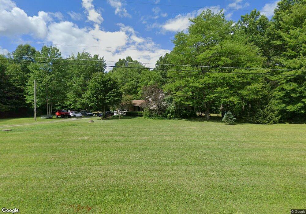
22686 N Benton West Rd Alliance, OH 44601
Estimated Value: $245,000 - $287,000
3
Beds
2
Baths
1,872
Sq Ft
$139/Sq Ft
Est. Value
About This Home
This home is located at 22686 N Benton West Rd, Alliance, OH 44601 and is currently estimated at $259,822, approximately $138 per square foot. 22686 N Benton West Rd is a home located in Mahoning County with nearby schools including West Branch Middle School, West Branch Early Learning Center, and West Branch High School.
Ownership History
Date
Name
Owned For
Owner Type
Purchase Details
Closed on
Feb 28, 2000
Sold by
Rayle Howard
Bought by
Bissett Chad and Zerkle Rebecca
Current Estimated Value
Home Financials for this Owner
Home Financials are based on the most recent Mortgage that was taken out on this home.
Original Mortgage
$80,750
Outstanding Balance
$27,209
Interest Rate
8.21%
Estimated Equity
$232,613
Purchase Details
Closed on
Nov 3, 1986
Bought by
Rayle Howard L
Create a Home Valuation Report for This Property
The Home Valuation Report is an in-depth analysis detailing your home's value as well as a comparison with similar homes in the area
Home Values in the Area
Average Home Value in this Area
Purchase History
| Date | Buyer | Sale Price | Title Company |
|---|---|---|---|
| Bissett Chad | $95,000 | -- | |
| Rayle Howard L | -- | -- |
Source: Public Records
Mortgage History
| Date | Status | Borrower | Loan Amount |
|---|---|---|---|
| Open | Bissett Chad | $80,750 |
Source: Public Records
Tax History Compared to Growth
Tax History
| Year | Tax Paid | Tax Assessment Tax Assessment Total Assessment is a certain percentage of the fair market value that is determined by local assessors to be the total taxable value of land and additions on the property. | Land | Improvement |
|---|---|---|---|---|
| 2024 | $2,283 | $63,160 | $6,380 | $56,780 |
| 2023 | $2,240 | $63,160 | $6,380 | $56,780 |
| 2022 | $1,945 | $49,290 | $5,110 | $44,180 |
| 2021 | $1,947 | $49,290 | $5,110 | $44,180 |
| 2020 | $1,955 | $49,290 | $5,110 | $44,180 |
| 2019 | $1,749 | $41,930 | $5,110 | $36,820 |
| 2018 | $1,741 | $41,930 | $5,110 | $36,820 |
| 2017 | $1,738 | $41,930 | $5,110 | $36,820 |
| 2016 | $1,570 | $38,080 | $5,470 | $32,610 |
| 2015 | $1,522 | $38,080 | $5,470 | $32,610 |
| 2014 | $1,530 | $38,080 | $5,470 | $32,610 |
| 2013 | $1,514 | $38,080 | $5,470 | $32,610 |
Source: Public Records
Map
Nearby Homes
- 20871 N Benton Rd W
- 0 Knoll St NE
- 15789 Coalbank St NE
- 15520 Coalbank St NE
- 7374 Virginia Rd
- 10985 Johnson Rd
- 9663 Berlin Heights Dr
- 15995 Elbrook St NE
- 15832 Waverly St NE
- 11310 Webb Ave NE
- 90 N Jefferson St
- 11344 Walnut Ave NE
- 14723 Bolton St NE
- 14422 Sturbridge Rd NE
- 0 Homestead Ave NE
- 0 Johnson Ave NE Unit 5142926
- 652 N Webb Ave
- 0 Klinger Ave NE
- 0 Meadowbrook Ave
- 1440 Porter Rd
- 22769 N Benton West Rd
- 22695 Smith Northwest Rd
- 22690 Smith Northwest Rd
- Lot 6 N Benton Rd W
- 22578 N Benton West Rd
- 22645 N Benton West Rd
- 22539 Smith Northwest Rd
- 22856 Smith Northwest Rd
- 22837 Smith Northwest Rd
- 22660 Smith Northwest Rd
- 22615 N Benton West Rd
- 22895 Smith Northwest Rd
- 22498 N Benton Rd W
- 22498 N Benton West Rd
- 22475 N Benton West Rd
- 22501 Smith Northwest Rd
- 16217 Lowe Rd NE
- 9350 Oyster Rd
- 9590 Oyster Rd
- 16086 Lowe Rd NE