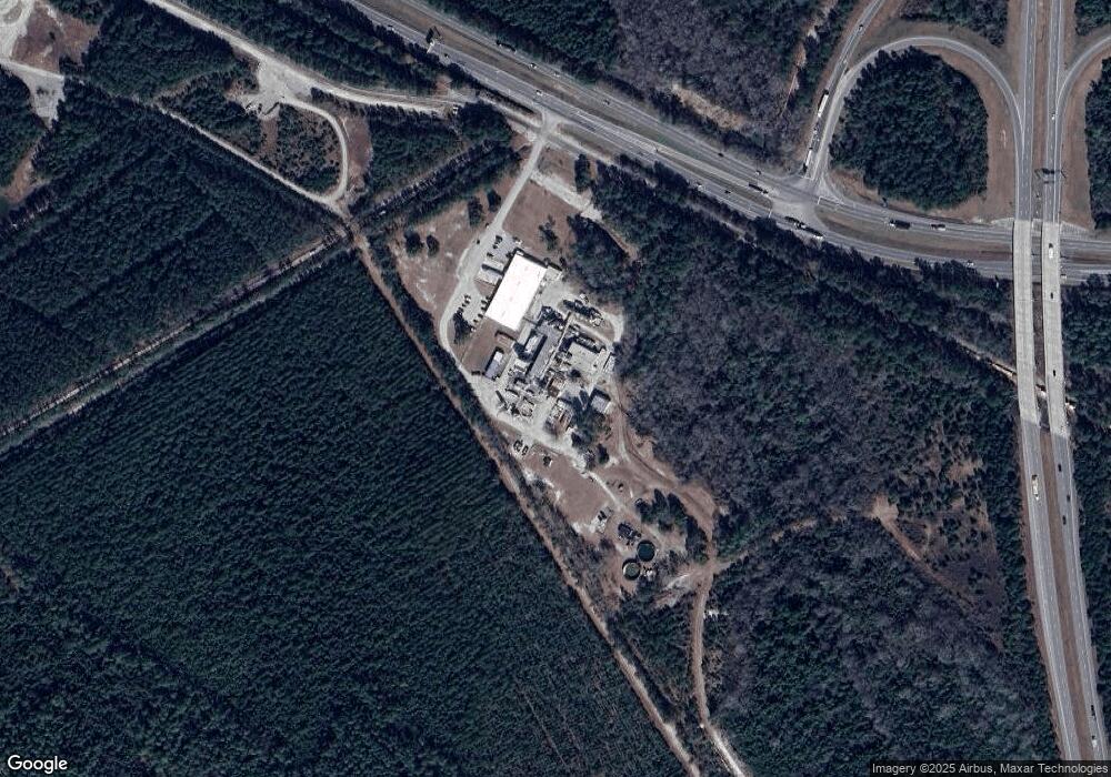
2269 Andrew Jackson Hwy NE Leland, NC 28451
--
Bed
--
Bath
20,000
Sq Ft
47
Acres
About This Home
This home is located at 2269 Andrew Jackson Hwy NE, Leland, NC 28451. 2269 Andrew Jackson Hwy NE is a home located in Brunswick County with nearby schools including Lincoln Elementary School, Leland Middle School, and North Brunswick High School.
Ownership History
Date
Name
Owned For
Owner Type
Purchase Details
Closed on
Nov 30, 2016
Sold by
Salisbury Partners Llc
Bought by
Amyris Inc
Home Financials for this Owner
Home Financials are based on the most recent Mortgage that was taken out on this home.
Original Mortgage
$3,500,000
Outstanding Balance
$2,826,186
Interest Rate
3.52%
Mortgage Type
Commercial
Create a Home Valuation Report for This Property
The Home Valuation Report is an in-depth analysis detailing your home's value as well as a comparison with similar homes in the area
Home Values in the Area
Average Home Value in this Area
Purchase History
| Date | Buyer | Sale Price | Title Company |
|---|---|---|---|
| Amyris Inc | $4,350,000 | None Available |
Source: Public Records
Mortgage History
| Date | Status | Borrower | Loan Amount |
|---|---|---|---|
| Open | Amyris Inc | $3,500,000 |
Source: Public Records
Tax History Compared to Growth
Tax History
| Year | Tax Paid | Tax Assessment Tax Assessment Total Assessment is a certain percentage of the fair market value that is determined by local assessors to be the total taxable value of land and additions on the property. | Land | Improvement |
|---|---|---|---|---|
| 2025 | $11,380 | $2,450,260 | $1,197,990 | $1,252,270 |
| 2024 | $11,380 | $2,450,260 | $1,197,990 | $1,252,270 |
| 2023 | $11,768 | $2,450,260 | $1,197,990 | $1,252,270 |
| 2022 | $11,768 | $1,916,130 | $916,110 | $1,000,020 |
| 2021 | $11,768 | $1,916,130 | $916,110 | $1,000,020 |
| 2020 | $11,768 | $1,916,130 | $916,110 | $1,000,020 |
| 2019 | $11,543 | $988,120 | $916,110 | $72,010 |
| 2018 | $7,703 | $809,260 | $733,200 | $76,060 |
| 2017 | $7,703 | $809,260 | $733,200 | $76,060 |
| 2016 | $7,328 | $809,260 | $733,200 | $76,060 |
| 2015 | $7,328 | $1,201,610 | $733,200 | $468,410 |
| 2014 | $8,027 | $1,474,928 | $940,000 | $534,928 |
Source: Public Records
Map
Nearby Homes
- 2210 Palm Pointe
- 1091 Bridgeport Way
- 1086 Bridgeport Way
- 2314 Hickory Bottom Ct NE
- 1074 Bridgeport Way
- 8172 Garden Pointe Dr
- Hamilton Bay Plan at Compass Pointe
- Bar Harbour II Plan at Compass Pointe
- Pierre's Bay Plan at Compass Pointe
- Siesta Bay Plan at Compass Pointe
- Amelia Bay Plan at Compass Pointe
- Grace Bay Plan at Compass Pointe
- Shelter Bay Plan at Compass Pointe
- Bar Harbour I Plan at Compass Pointe
- Lumina Island Plan at Compass Pointe
- Charleston Harbor Plan at Compass Pointe
- Cooper's Bay Plan at Compass Pointe
- Jonesport Plan at Compass Pointe
- Boothbay Harbor Plan at Compass Pointe
- Annabelle Plan at Compass Pointe
- 0 Us Hwy 74 76 Unit 30482464
- 401 Killogrem Way
- 1421 Cross Water Cir
- 5069 Northstar Dr
- 5065 Northstar Dr
- 9052 Laurel Bay Ln
- Tr-366.26 Sr1425&us
- 0 Andrew Jackson Hwy
- 8088 Garden Pointe NE
- 8096 Garden Pointe Dr
- 8100 Garden Pointe Dr
- 8092 Garden Pointe Dr
- 8104 Garden Pointe Dr
- 8108 Garden Pointe Dr
- 2216 Palm Pointe
- 8085 Garden Pointe Dr
- 8113 Garden Pointe Dr
- 8112 Garden Pointe Dr
- 8089 Garden Pointe Dr
- 8117 Garden Pointe Dr