2269 N Oak Ridge Way Martinsville, IN 46151
Estimated Value: $361,000 - $737,458
4
Beds
4
Baths
3,893
Sq Ft
$148/Sq Ft
Est. Value
About This Home
This home is located at 2269 N Oak Ridge Way, Martinsville, IN 46151 and is currently estimated at $577,615, approximately $148 per square foot. 2269 N Oak Ridge Way is a home located in Morgan County with nearby schools including Martinsville High School.
Ownership History
Date
Name
Owned For
Owner Type
Purchase Details
Closed on
Oct 30, 2019
Sold by
Arnold Carla
Bought by
Arnold Carla and Arnold Michael J
Current Estimated Value
Home Financials for this Owner
Home Financials are based on the most recent Mortgage that was taken out on this home.
Original Mortgage
$280,000
Outstanding Balance
$255,025
Interest Rate
5.25%
Mortgage Type
Construction
Estimated Equity
$322,590
Purchase Details
Closed on
Jun 13, 2019
Sold by
Ruley Terry and Ruley Sherri
Bought by
Arnold Carla
Create a Home Valuation Report for This Property
The Home Valuation Report is an in-depth analysis detailing your home's value as well as a comparison with similar homes in the area
Home Values in the Area
Average Home Value in this Area
Purchase History
| Date | Buyer | Sale Price | Title Company |
|---|---|---|---|
| Arnold Carla | -- | Quality Title Insurance | |
| Arnold Carla | -- | None Available |
Source: Public Records
Mortgage History
| Date | Status | Borrower | Loan Amount |
|---|---|---|---|
| Open | Arnold Carla | $280,000 |
Source: Public Records
Tax History Compared to Growth
Tax History
| Year | Tax Paid | Tax Assessment Tax Assessment Total Assessment is a certain percentage of the fair market value that is determined by local assessors to be the total taxable value of land and additions on the property. | Land | Improvement |
|---|---|---|---|---|
| 2024 | $3,972 | $659,500 | $90,800 | $568,700 |
| 2023 | $3,739 | $659,500 | $90,800 | $568,700 |
| 2022 | $3,248 | $599,500 | $90,800 | $508,700 |
| 2021 | $2,478 | $496,200 | $57,900 | $438,300 |
| 2020 | $388 | $49,100 | $49,100 | $0 |
| 2019 | $446 | $49,100 | $49,100 | $0 |
| 2018 | $549 | $41,400 | $41,400 | $0 |
| 2017 | $365 | $41,400 | $41,400 | $0 |
| 2016 | $380 | $41,400 | $41,400 | $0 |
| 2014 | $305 | $41,400 | $41,400 | $0 |
| 2013 | $305 | $41,400 | $41,400 | $0 |
Source: Public Records
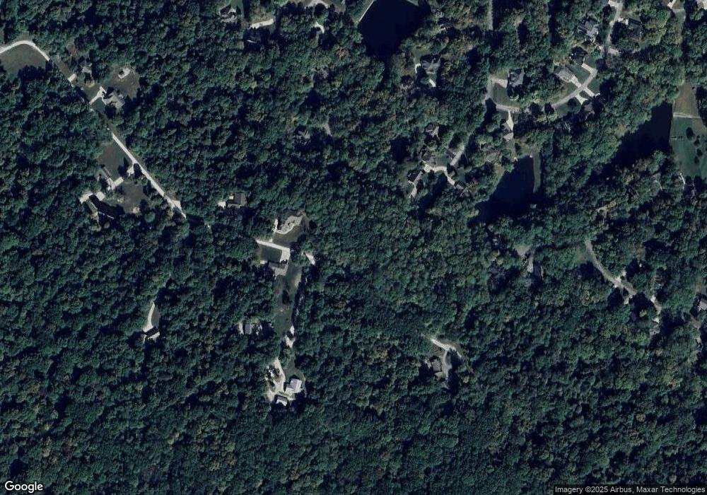
Map
Nearby Homes
- 1550 Fox Hollow Dr
- 2036 Silver Fox Dr W
- 1555 Fox Cross Dr
- 2925 Fox Ct E
- 2749 Grey Fox Dr
- 2665 Grey Fox Dr
- 0000 N Country Club Rd
- 2980 Country Club Ct
- 3170 N Country Club Rd
- 899/900 L Southampton Dr
- 2975 Southampton Dr
- 3160 Southampton Dr
- 3380 N Pine Song Dr
- 3185 N Southampton Ridge
- 2086 N Cobblestone Ct
- 2076 N Cobblestone Ct
- 2056 N Cobblestone Ct
- 766 E Timber Dr
- 2131 N Wolf Den Ln
- 3649 N Devon Dr
- 745 Fox Hollow Dr
- L738 Fox Hollow Dr
- 1544 Fox Hollow Dr
- 746 Fox Hollow Dr
- 532 Fox Hollow Dr
- L749 Fox Hollow Dr
- L739 Fox Hollow Dr
- L750 Fox Hollow Dr
- L748 Fox Hollow Dr
- L740 Fox Hollow Dr
- 1511 Fox Hollow Dr
- L 750 Foxcliff Fox Hollow Dr
- 1536 Fox Hollow Dr
- 2665 N Country Club Rd
- 1497 E Poplar Ridge Way
- 1551 Fox Hollow Dr
- 1541 Fox Hollow Dr
- 1488 E Poplar Ridge Way
- 0 Fox Hollow Dr Unit 21202156
- 0 Fox Hollow Dr Unit 21460633