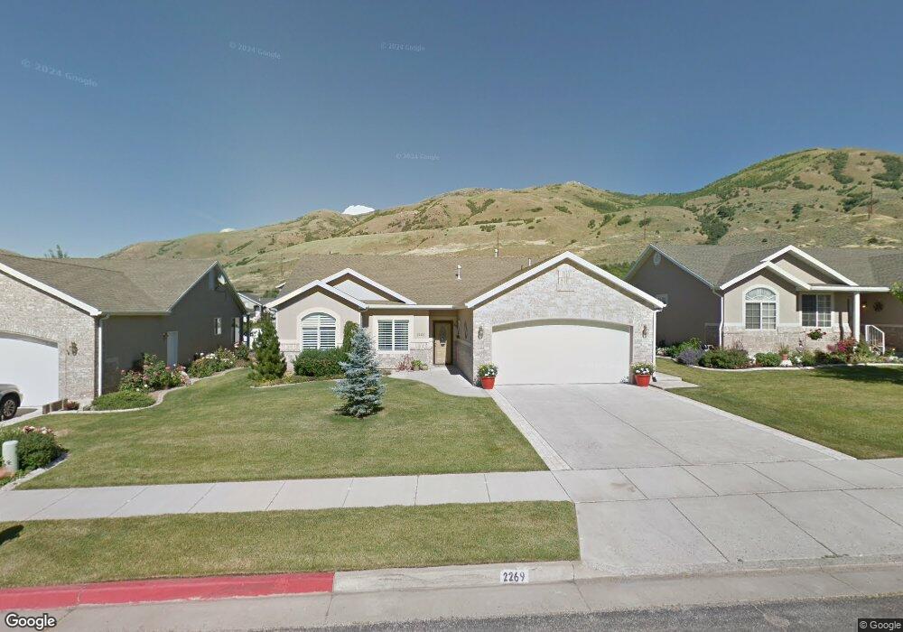
2269 S 450 W Unit 18 Brigham City, UT 84302
Estimated Value: $356,730 - $494,000
--
Bed
--
Bath
1,531
Sq Ft
$285/Sq Ft
Est. Value
About This Home
This home is located at 2269 S 450 W Unit 18, Brigham City, UT 84302 and is currently estimated at $436,933, approximately $285 per square foot. 2269 S 450 W Unit 18 is a home located in Box Elder County with nearby schools including Three Mile Creek School, Adele C. Young Intermediate School, and Box Elder Middle School.
Ownership History
Date
Name
Owned For
Owner Type
Purchase Details
Closed on
Jul 28, 2010
Sold by
Moulton Bonnie R
Bought by
Gardner Bonnie Rae and Bonnie Rae Gardner Living Trust
Current Estimated Value
Purchase Details
Closed on
May 5, 2009
Sold by
Hatfield William L and Hanks Kathleen
Bought by
Moulton Bonnie R
Purchase Details
Closed on
Dec 19, 2007
Sold by
Hatfield Koyle and Hatfield Glenna
Bought by
Hatfield Glenna and Hatfield Koyle
Purchase Details
Closed on
Mar 7, 2005
Sold by
Tingey Robert R and Tingey Evelyn W
Bought by
Hatfield Koyle and Hatfield Glenna
Create a Home Valuation Report for This Property
The Home Valuation Report is an in-depth analysis detailing your home's value as well as a comparison with similar homes in the area
Home Values in the Area
Average Home Value in this Area
Purchase History
| Date | Buyer | Sale Price | Title Company |
|---|---|---|---|
| Gardner Bonnie Rae | -- | -- | |
| Moulton Bonnie R | -- | -- | |
| Hatfield Glenna | -- | -- | |
| Hatfield Koyle | -- | None Available |
Source: Public Records
Tax History Compared to Growth
Tax History
| Year | Tax Paid | Tax Assessment Tax Assessment Total Assessment is a certain percentage of the fair market value that is determined by local assessors to be the total taxable value of land and additions on the property. | Land | Improvement |
|---|---|---|---|---|
| 2025 | $2,351 | $353,631 | $105,000 | $248,631 |
| 2024 | $2,079 | $353,166 | $100,000 | $253,166 |
| 2023 | $2,048 | $355,088 | $95,000 | $260,088 |
| 2022 | $2,105 | $189,328 | $35,750 | $153,578 |
| 2021 | $1,871 | $235,497 | $65,000 | $170,497 |
| 2020 | $1,669 | $235,497 | $65,000 | $170,497 |
| 2019 | $1,625 | $121,677 | $27,500 | $94,177 |
| 2018 | $1,450 | $109,392 | $27,500 | $81,892 |
| 2017 | $1,620 | $198,895 | $27,500 | $148,895 |
| 2016 | $1,605 | $105,493 | $27,500 | $77,993 |
| 2015 | $1,475 | $98,403 | $27,500 | $70,903 |
| 2014 | $1,475 | $95,026 | $26,675 | $68,351 |
| 2013 | -- | $88,812 | $26,675 | $62,137 |
Source: Public Records
Map
Nearby Homes
- 2245 S 450 W
- 409 W 2100 S
- 2475 S 450 W
- 300 W 2000 S
- 2548 S 700 W
- 2051 S Eskelsen Ln
- 2023 S 150 W
- 1873 S 300 W Unit 19
- 2049 S 100 W Unit 8
- 2788 Peach St
- 2021 S 100 W Unit 13
- 1795 S 225 W
- 1769 S 100 W
- 1670 S Highway 89
- 165 1600 S
- 140 W Hill Haven Dr
- 2855 S 1000 W
- 314 W 1550 S
- 1568 S 125 W
- 2925 S Highway 89 Unit 15