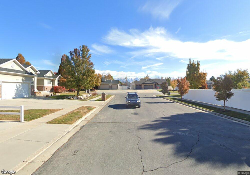
2269 W 1125 S Syracuse, UT 84075
Estimated Value: $683,000 - $831,312
5
Beds
4
Baths
2,195
Sq Ft
$357/Sq Ft
Est. Value
About This Home
This home is located at 2269 W 1125 S, Syracuse, UT 84075 and is currently estimated at $783,828, approximately $357 per square foot. 2269 W 1125 S is a home located in Davis County with nearby schools including Syracuse Elementary School, Syracuse Junior High School, and Syracuse High School.
Ownership History
Date
Name
Owned For
Owner Type
Purchase Details
Closed on
Jul 13, 2022
Sold by
Anderson Richard D
Bought by
Rick And Sheri Anderson Family Trust
Current Estimated Value
Purchase Details
Closed on
Jan 25, 2016
Sold by
Anderson Richard D
Bought by
Anderson Richard D and Anderson Sheri T
Purchase Details
Closed on
Jun 30, 2005
Sold by
Benchmark Real Estate Co
Bought by
Anderson Richard D and Anderson Sheri T
Home Financials for this Owner
Home Financials are based on the most recent Mortgage that was taken out on this home.
Original Mortgage
$1,000
Interest Rate
5.58%
Mortgage Type
Unknown
Create a Home Valuation Report for This Property
The Home Valuation Report is an in-depth analysis detailing your home's value as well as a comparison with similar homes in the area
Home Values in the Area
Average Home Value in this Area
Purchase History
| Date | Buyer | Sale Price | Title Company |
|---|---|---|---|
| Rick And Sheri Anderson Family Trust | -- | None Listed On Document | |
| Anderson Richard D | -- | Founders Title | |
| Anderson Richard D | -- | Founders Title | |
| Anderson Richard D | -- | Founders Title Co |
Source: Public Records
Mortgage History
| Date | Status | Borrower | Loan Amount |
|---|---|---|---|
| Previous Owner | Anderson Richard D | $1,000 | |
| Previous Owner | Anderson Richard D | $341,000 |
Source: Public Records
Tax History Compared to Growth
Tax History
| Year | Tax Paid | Tax Assessment Tax Assessment Total Assessment is a certain percentage of the fair market value that is determined by local assessors to be the total taxable value of land and additions on the property. | Land | Improvement |
|---|---|---|---|---|
| 2025 | $4,703 | $453,750 | $129,511 | $324,239 |
| 2024 | $4,501 | $437,250 | $111,603 | $325,647 |
| 2023 | $4,255 | $753,000 | $155,244 | $597,756 |
| 2022 | $4,467 | $433,400 | $88,738 | $344,662 |
| 2021 | $3,915 | $588,000 | $131,653 | $456,347 |
| 2020 | $3,555 | $517,000 | $112,417 | $404,583 |
| 2019 | $3,281 | $471,000 | $112,661 | $358,339 |
| 2018 | $2,905 | $414,000 | $107,305 | $306,695 |
| 2016 | $2,678 | $200,090 | $41,084 | $159,006 |
| 2015 | $2,898 | $206,250 | $41,084 | $165,166 |
| 2014 | $2,766 | $200,623 | $41,084 | $159,539 |
| 2013 | -- | $179,253 | $34,786 | $144,467 |
Source: Public Records
Map
Nearby Homes
- 2655 S 2430 W Unit 120
- 2665 S 2430 W Unit 118
- 2655 S 2430 W Unit 116
- 2633 S 2430 W Unit 113
- 2614 S 2430 W Unit 106
- 2663 S 2430 W
- 2117 W 1275 S
- 2050 Craftsman Plan at Legacy Park - Collection
- 2200 Garden Plan at Legacy Park - Collection
- Lincoln Farmhouse Plan at Legacy Park - Estates
- Hamilton Traditional Plan at Legacy Park - Estates
- Tivoli Traditional Plan at Legacy Park - Estates
- Torino Farmhouse Plan at Legacy Park - Estates
- 2400 Farmhouse Plan at Legacy Park - Collection
- 1641 S 2350 W Unit B
- 916 S 1760 W
- 922 S 1760 W
- 2840 W 1200 S
- 1251 S 1650 W
- 1327 S 1650 W