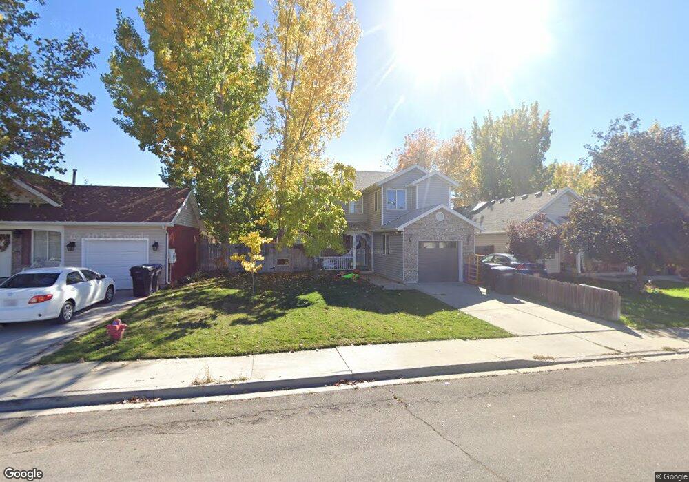
2269 W 480 N Unit 19 Provo, UT 84601
Lakeview NeighborhoodEstimated Value: $429,628 - $462,000
2
Beds
2
Baths
1,336
Sq Ft
$330/Sq Ft
Est. Value
About This Home
This home is located at 2269 W 480 N Unit 19, Provo, UT 84601 and is currently estimated at $440,407, approximately $329 per square foot. 2269 W 480 N Unit 19 is a home located in Utah County with nearby schools including Dixon Middle School, Provo High School, and Freedom Preparatory Academy.
Ownership History
Date
Name
Owned For
Owner Type
Purchase Details
Closed on
Jul 7, 2015
Sold by
Allen Daniel S and Allen Tausha J
Bought by
Daniel Allen And Tausha Allen Revocable and Allen Tausha
Current Estimated Value
Purchase Details
Closed on
Dec 19, 2014
Sold by
Allen Tausha J
Bought by
Allen Tausha J and Allen Daniel S
Purchase Details
Closed on
Feb 24, 2014
Sold by
Zabriskie Boyd
Bought by
Allen Tausha J and Allen Daniel S
Home Financials for this Owner
Home Financials are based on the most recent Mortgage that was taken out on this home.
Original Mortgage
$150,719
Outstanding Balance
$114,499
Interest Rate
4.4%
Mortgage Type
FHA
Estimated Equity
$325,908
Create a Home Valuation Report for This Property
The Home Valuation Report is an in-depth analysis detailing your home's value as well as a comparison with similar homes in the area
Home Values in the Area
Average Home Value in this Area
Purchase History
| Date | Buyer | Sale Price | Title Company |
|---|---|---|---|
| Daniel Allen And Tausha Allen Revocable | -- | None Available | |
| Allen Tausha J | -- | Accommodation | |
| Allen Tausha J | -- | Inwest Title | |
| Allen Tausha J | -- | Title Guarantee |
Source: Public Records
Mortgage History
| Date | Status | Borrower | Loan Amount |
|---|---|---|---|
| Open | Allen Tausha J | $150,719 |
Source: Public Records
Tax History Compared to Growth
Tax History
| Year | Tax Paid | Tax Assessment Tax Assessment Total Assessment is a certain percentage of the fair market value that is determined by local assessors to be the total taxable value of land and additions on the property. | Land | Improvement |
|---|---|---|---|---|
| 2025 | $1,973 | $204,710 | $144,500 | $227,700 |
| 2024 | $1,973 | $194,205 | $0 | $0 |
| 2023 | $1,972 | $191,400 | $0 | $0 |
| 2022 | $2,041 | $199,705 | $0 | $0 |
| 2021 | $1,610 | $274,700 | $81,500 | $193,200 |
| 2020 | $1,561 | $249,700 | $74,100 | $175,600 |
| 2019 | $1,363 | $226,800 | $74,100 | $152,700 |
| 2018 | $1,208 | $203,800 | $71,000 | $132,800 |
| 2017 | $1,136 | $105,325 | $0 | $0 |
| 2016 | $1,088 | $93,995 | $0 | $0 |
| 2015 | $997 | $87,065 | $0 | $0 |
| 2014 | $929 | $84,590 | $0 | $0 |
Source: Public Records
Map
Nearby Homes
- 398 N 2380 W
- 2316 W 510 N
- 2216 W 480 N
- 582 N 2310 W
- 392 N 2150 W
- 227 West Ln
- 201 N Geneva Rd Unit 3
- 154 N 2560 W
- 2727 W 220 N
- 255 N 1600 W Unit 148
- 255 N 1600 W Unit 52
- 255 N 1600 W Unit 84
- 255 N 1600 W Unit 108
- 2744 W 50 N
- 1744 W 150 N
- 927 Independence Ave
- 2075 W 1080 N
- 962 Independence Ave
- 2397 W 1160 N
- 2043 W 1100 N