2269 Wall St North Bend, OR 97459
Estimated Value: $363,690 - $386,000
3
Beds
2
Baths
1,270
Sq Ft
$295/Sq Ft
Est. Value
About This Home
This home is located at 2269 Wall St, North Bend, OR 97459 and is currently estimated at $374,845, approximately $295 per square foot. 2269 Wall St is a home located in Coos County with nearby schools including Hillcrest Elementary School, North Bend Middle School, and North Bend Senior High School.
Ownership History
Date
Name
Owned For
Owner Type
Purchase Details
Closed on
Aug 15, 2012
Sold by
Schmidt Katherine L and Bollinger Sandra R
Bought by
Cannafax Phillip S and Cannafax Rita
Current Estimated Value
Home Financials for this Owner
Home Financials are based on the most recent Mortgage that was taken out on this home.
Original Mortgage
$69,000
Outstanding Balance
$47,552
Interest Rate
3.56%
Mortgage Type
New Conventional
Estimated Equity
$327,293
Create a Home Valuation Report for This Property
The Home Valuation Report is an in-depth analysis detailing your home's value as well as a comparison with similar homes in the area
Home Values in the Area
Average Home Value in this Area
Purchase History
| Date | Buyer | Sale Price | Title Company |
|---|---|---|---|
| Cannafax Phillip S | $155,000 | Ticor Title Company |
Source: Public Records
Mortgage History
| Date | Status | Borrower | Loan Amount |
|---|---|---|---|
| Open | Cannafax Phillip S | $69,000 |
Source: Public Records
Tax History Compared to Growth
Tax History
| Year | Tax Paid | Tax Assessment Tax Assessment Total Assessment is a certain percentage of the fair market value that is determined by local assessors to be the total taxable value of land and additions on the property. | Land | Improvement |
|---|---|---|---|---|
| 2024 | $2,006 | $155,920 | -- | -- |
| 2023 | $1,947 | $151,380 | $0 | $0 |
| 2022 | $1,926 | $146,980 | $0 | $0 |
| 2021 | $1,974 | $142,700 | $0 | $0 |
| 2020 | $1,849 | $142,700 | $0 | $0 |
| 2019 | $1,768 | $134,520 | $0 | $0 |
| 2018 | $1,719 | $130,610 | $0 | $0 |
| 2017 | $1,998 | $126,810 | $0 | $0 |
| 2016 | $1,937 | $123,120 | $0 | $0 |
| 2015 | $1,778 | $119,540 | $0 | $0 |
| 2014 | $1,778 | $117,190 | $0 | $0 |
Source: Public Records
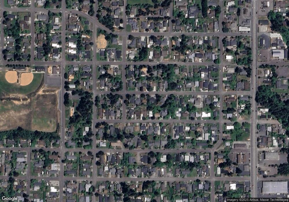
Map
Nearby Homes
- 2355 Lombard St
- 2165 Lewis St
- 2292 Clark St
- 2200 17th St
- 2011 Ohio Ave
- 3189 Ash St
- 2345 State St
- 00 Ash St
- 0 Fir St Unit 182520474
- 2718 Alder Ridge Dr
- 2719 Alder Ridge Dr
- 3561 Ash St
- 3483 Fir St
- 2245 Broadway Ave
- 3677 Pine St
- 2143 Ash St
- 2125 Pine St
- 3390 Lakeshore Dr
- 3840 Buccaneer Ln
- 2215 Garfield St