226B Sterling Rd Princeton, MA 01541
Estimated Value: $646,000 - $907,891
3
Beds
3
Baths
1,624
Sq Ft
$474/Sq Ft
Est. Value
About This Home
This home is located at 226B Sterling Rd, Princeton, MA 01541 and is currently estimated at $769,223, approximately $473 per square foot. 226B Sterling Rd is a home located in Worcester County with nearby schools including Wachusett Regional High School.
Ownership History
Date
Name
Owned For
Owner Type
Purchase Details
Closed on
Jul 30, 2025
Sold by
Roy Karen A
Bought by
Roy Leslie A
Current Estimated Value
Purchase Details
Closed on
Dec 27, 2007
Sold by
Meppelink F Jean F and Meppelink Harvey J
Bought by
Roy Karen A and Roy Paul L
Home Financials for this Owner
Home Financials are based on the most recent Mortgage that was taken out on this home.
Original Mortgage
$272,000
Interest Rate
6.27%
Mortgage Type
Purchase Money Mortgage
Purchase Details
Closed on
Oct 23, 2002
Sold by
Hyson Warren C and Hyson Marilyn L
Bought by
Meppelink Harvey J and Meppelink Jean F
Create a Home Valuation Report for This Property
The Home Valuation Report is an in-depth analysis detailing your home's value as well as a comparison with similar homes in the area
Home Values in the Area
Average Home Value in this Area
Purchase History
| Date | Buyer | Sale Price | Title Company |
|---|---|---|---|
| Roy Leslie A | -- | -- | |
| Roy Leslie A | -- | -- | |
| Roy Karen A | $340,000 | -- | |
| Roy Karen A | $340,000 | -- | |
| Roy Karen A | $340,000 | -- | |
| Meppelink Harvey J | $270,000 | -- | |
| Meppelink Harvey J | $270,000 | -- |
Source: Public Records
Mortgage History
| Date | Status | Borrower | Loan Amount |
|---|---|---|---|
| Previous Owner | Meppelink Harvey J | $263,000 | |
| Previous Owner | Roy Karen A | $272,000 |
Source: Public Records
Tax History Compared to Growth
Tax History
| Year | Tax Paid | Tax Assessment Tax Assessment Total Assessment is a certain percentage of the fair market value that is determined by local assessors to be the total taxable value of land and additions on the property. | Land | Improvement |
|---|---|---|---|---|
| 2025 | $10,972 | $755,100 | $164,700 | $590,400 |
| 2024 | $7,552 | $538,300 | $164,700 | $373,600 |
| 2023 | $7,279 | $480,800 | $131,400 | $349,400 |
| 2022 | $6,962 | $444,000 | $131,400 | $312,600 |
| 2021 | $6,448 | $400,000 | $131,400 | $268,600 |
| 2020 | $6,253 | $394,500 | $131,400 | $263,100 |
| 2019 | $5,923 | $369,700 | $119,200 | $250,500 |
| 2018 | $5,908 | $341,900 | $110,500 | $231,400 |
| 2017 | $5,658 | $318,200 | $153,200 | $165,000 |
| 2016 | $5,664 | $318,200 | $153,200 | $165,000 |
| 2015 | $5,472 | $316,300 | $155,600 | $160,700 |
Source: Public Records
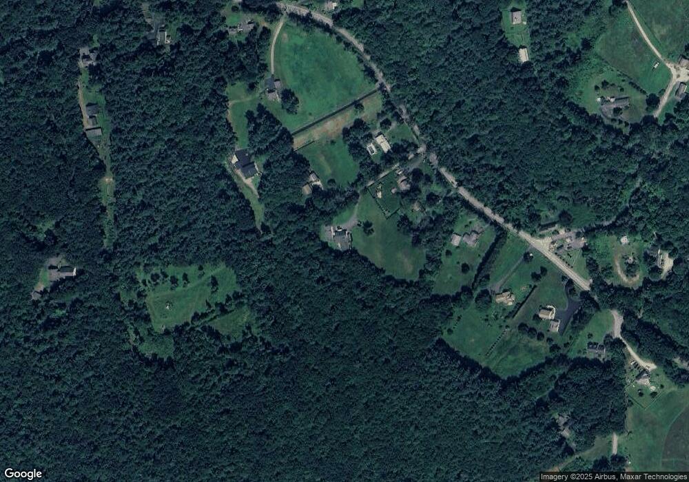
Map
Nearby Homes
- 20 Town Farm Rd
- 17 Coal Kiln Rd
- 100 Houghton Rd
- 751 Mason Rd
- 28 Merriam Rd
- 11 Mirick Rd
- 20 Mountain Rd
- 14 Oak Cir
- 58 Merriam Rd
- 45 Neylon St
- 9 Stagecoach Rd
- 193 Justice Hill Road Cutoff
- 15 Stagecoach Rd
- 19 Hardscrabble Rd
- 134 Mountain Rd
- 161 Beaman Rd
- 133 Rowley Hill Rd
- 0 North St
- 61 Boutelle Rd
- 4 Jewett Rd Unit B
- 226A Sterling Rd
- 1 Paradise Place
- 230 Sterling Rd
- 228 Sterling Rd
- 224 Sterling Rd
- 212 Sterling Rd
- 212 Sterling Rd Unit 1
- 234 Sterling Rd
- 210 Sterling Rd
- 238 Sterling Rd
- 1 Town Farm Rd
- 1 Town Farm Rd Unit 2
- 1 Town Farm Rd Unit 1
- 2 Town Farm Rd
- 206 Sterling Rd Unit 1
- 206 Sterling Rd
- 244 Sterling Rd
- 211 Sterling Rd
- 198 Sterling Rd
- 246 Sterling Rd