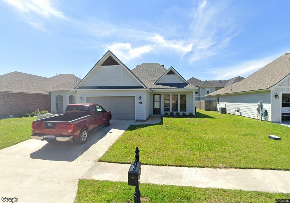
227 Aston Ln Sulphur, LA 70665
Estimated Value: $191,000 - $229,000
3
Beds
2
Baths
1,522
Sq Ft
$142/Sq Ft
Est. Value
About This Home
This home is located at 227 Aston Ln, Sulphur, LA 70665 and is currently estimated at $216,852, approximately $142 per square foot. 227 Aston Ln is a home located in Calcasieu Parish with nearby schools including W.T. Henning Elementary School, W.W. Lewis Middle School, and Sulphur High School.
Ownership History
Date
Name
Owned For
Owner Type
Purchase Details
Closed on
Jan 28, 2022
Sold by
Manuel Builders Llc
Bought by
Berniard Joseph A
Current Estimated Value
Home Financials for this Owner
Home Financials are based on the most recent Mortgage that was taken out on this home.
Original Mortgage
$179,832
Outstanding Balance
$166,308
Interest Rate
3.22%
Mortgage Type
New Conventional
Estimated Equity
$50,544
Purchase Details
Closed on
Jun 12, 2020
Sold by
Belle Savanne Partners Llc
Bought by
Manuel Builders Llc
Create a Home Valuation Report for This Property
The Home Valuation Report is an in-depth analysis detailing your home's value as well as a comparison with similar homes in the area
Home Values in the Area
Average Home Value in this Area
Purchase History
| Date | Buyer | Sale Price | Title Company |
|---|---|---|---|
| Berniard Joseph A | $224,790 | None Listed On Document | |
| Manuel Builders Llc | $94,000 | None Available |
Source: Public Records
Mortgage History
| Date | Status | Borrower | Loan Amount |
|---|---|---|---|
| Open | Berniard Joseph A | $179,832 |
Source: Public Records
Tax History Compared to Growth
Tax History
| Year | Tax Paid | Tax Assessment Tax Assessment Total Assessment is a certain percentage of the fair market value that is determined by local assessors to be the total taxable value of land and additions on the property. | Land | Improvement |
|---|---|---|---|---|
| 2024 | $1,543 | $20,700 | $4,210 | $16,490 |
| 2023 | $1,543 | $20,700 | $4,210 | $16,490 |
| 2022 | $1,532 | $20,700 | $4,210 | $16,490 |
| 2021 | $388 | $4,210 | $4,210 | $0 |
| 2020 | $798 | $7,490 | $7,490 | $0 |
| 2019 | $1,263 | $11,710 | $11,710 | $0 |
| 2018 | $3,589 | $32,830 | $32,830 | $0 |
| 2017 | $6,065 | $54,130 | $54,130 | $0 |
| 2016 | $12,426 | $112,350 | $112,350 | $0 |
Source: Public Records
Map
Nearby Homes
- 305 Paisley Pkwy
- 329 Paisley Pkwy
- 320 Sawyer Dr
- 324 Sawyer Dr
- 277 Paisley Pkwy
- 321 Sawyer Dr
- 325 Sawyer Dr
- 216 Pipers Ln
- 148 Orchard Ln
- 317 Langley Dr
- 148 Haygood Point
- 137 Keaton Ct
- 148 Chandler Ln
- 213 Summit Ave
- 153 Chandler Ln
- 132 Chandler Ln
- 128 Chandler Ln
- 322 Windsor Woods Dr
- 173 Briar Ct
- 327 Windsor Dr