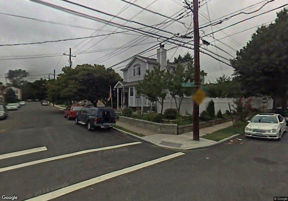
227 Atlantic Ave Staten Island, NY 10305
Dongan Hills NeighborhoodEstimated Value: $1,131,247 - $1,346,000
3
Beds
1
Bath
1,080
Sq Ft
$1,125/Sq Ft
Est. Value
About This Home
This home is located at 227 Atlantic Ave, Staten Island, NY 10305 and is currently estimated at $1,215,416, approximately $1,125 per square foot. 227 Atlantic Ave is a home located in Richmond County with nearby schools including P.S. 052 John C. Thompson, Is 2 George L Egbert, and New Dorp High School.
Ownership History
Date
Name
Owned For
Owner Type
Purchase Details
Closed on
Jul 7, 2009
Sold by
Heron Robert A and Heron Arthur A
Bought by
Girgosko Rastislav and Girgosko Alena
Current Estimated Value
Home Financials for this Owner
Home Financials are based on the most recent Mortgage that was taken out on this home.
Original Mortgage
$332,000
Interest Rate
5.28%
Mortgage Type
New Conventional
Purchase Details
Closed on
Sep 28, 2002
Sold by
Heron Frances C
Bought by
Heron Robert A and Heron Arthur A
Create a Home Valuation Report for This Property
The Home Valuation Report is an in-depth analysis detailing your home's value as well as a comparison with similar homes in the area
Home Values in the Area
Average Home Value in this Area
Purchase History
| Date | Buyer | Sale Price | Title Company |
|---|---|---|---|
| Girgosko Rastislav | $416,000 | Stewart Title Insurance Co | |
| Heron Robert A | -- | Lawyers Title Insurance Corp |
Source: Public Records
Mortgage History
| Date | Status | Borrower | Loan Amount |
|---|---|---|---|
| Previous Owner | Girgosko Rastislav | $332,000 |
Source: Public Records
Tax History Compared to Growth
Tax History
| Year | Tax Paid | Tax Assessment Tax Assessment Total Assessment is a certain percentage of the fair market value that is determined by local assessors to be the total taxable value of land and additions on the property. | Land | Improvement |
|---|---|---|---|---|
| 2025 | $8,937 | $83,220 | $7,685 | $75,535 |
| 2024 | $8,937 | $77,760 | $7,759 | $70,001 |
| 2023 | $9,025 | $44,438 | $7,118 | $37,320 |
| 2022 | $8,040 | $79,140 | $13,560 | $65,580 |
| 2021 | $8,687 | $65,520 | $13,560 | $51,960 |
| 2020 | $8,320 | $56,520 | $13,560 | $42,960 |
| 2019 | $7,757 | $49,140 | $13,560 | $35,580 |
| 2018 | $7,549 | $37,032 | $9,881 | $27,151 |
| 2017 | $7,220 | $35,418 | $9,702 | $25,716 |
| 2016 | $6,877 | $34,400 | $9,322 | $25,078 |
| 2015 | $5,930 | $32,754 | $9,964 | $22,790 |
| 2014 | $5,930 | $30,900 | $11,280 | $19,620 |
Source: Public Records
Map
Nearby Homes
- 32 Henry Place
- 286 Raritan Ave
- 132 S Railroad Ave
- 453 N Railroad Ave
- 0 Hylan Blvd Unit 11348978
- 0 Hylan Blvd Unit 2405533
- 287 Alter Ave
- 545 N Railroad Ave
- 240 Alter Ave
- 141 Evergreen Ave Unit 2a
- 34 Bear St
- 137 Delaware Ave
- 32 Remsen St
- 384 N Railroad Ave
- 40 Hancock St
- 54 S Railroad Ave
- 102 Burgher Ave
- 165 Cromwell Ave Unit 3C
- 163 Cromwell Ave Unit 3B
- 119 Raritan Ave
- 221 Atlantic Ave
- 219 Atlantic Ave
- 236 Burgher Ave
- 232 Burgher Ave
- 232 Burgher Ave Unit 1
- 5 Henry Place Unit 17
- 5 Henry Place Unit 1F
- 5 Henry Place
- 226 Burgher Ave
- 209 Atlantic Ave
- 240 Atlantic Ave
- 226 Atlantic Ave
- 220 Burgher Ave
- 224 Atlantic Ave
- 234 Atlantic Ave
- 218 Atlantic Ave
- 265 Atlantic Ave
- 203 Atlantic Ave
- 6 Henry Place
- 208 Atlantic Ave Unit 1