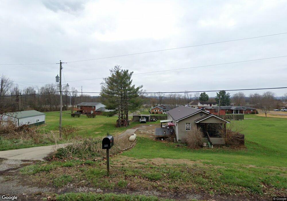
227 Back Rd Ironton, OH 45638
Estimated Value: $142,000 - $182,214
3
Beds
2
Baths
690
Sq Ft
$247/Sq Ft
Est. Value
About This Home
This home is located at 227 Back Rd, Ironton, OH 45638 and is currently estimated at $170,304, approximately $246 per square foot. 227 Back Rd is a home located in Scioto County with nearby schools including Green Elementary School and Green High School.
Ownership History
Date
Name
Owned For
Owner Type
Purchase Details
Closed on
May 18, 2007
Sold by
The Huntington National Bank
Bought by
Christian Eric
Current Estimated Value
Purchase Details
Closed on
Jan 24, 2007
Sold by
Donini Marty V and Hunt Christopher
Bought by
The Huntington National Bank
Purchase Details
Closed on
Mar 17, 2005
Bought by
Hunt Christopher
Purchase Details
Closed on
Jul 7, 1997
Sold by
Hawkins James R + Patrici
Bought by
Hankins Terry R + Lucille
Purchase Details
Closed on
Sep 27, 1996
Sold by
Dillon Arthur A + Bonnie
Bought by
Hawkins James R + Patrici
Create a Home Valuation Report for This Property
The Home Valuation Report is an in-depth analysis detailing your home's value as well as a comparison with similar homes in the area
Home Values in the Area
Average Home Value in this Area
Purchase History
| Date | Buyer | Sale Price | Title Company |
|---|---|---|---|
| Christian Eric | -- | -- | |
| The Huntington National Bank | $44,000 | -- | |
| Hunt Christopher | $84,500 | -- | |
| Hankins Terry R + Lucille | $6,900 | -- | |
| Hawkins James R + Patrici | $6,900 | -- |
Source: Public Records
Tax History Compared to Growth
Tax History
| Year | Tax Paid | Tax Assessment Tax Assessment Total Assessment is a certain percentage of the fair market value that is determined by local assessors to be the total taxable value of land and additions on the property. | Land | Improvement |
|---|---|---|---|---|
| 2024 | $1,869 | $35,740 | $3,400 | $32,340 |
| 2023 | $1,869 | $35,740 | $3,400 | $32,340 |
| 2022 | $1,709 | $35,740 | $3,400 | $32,340 |
| 2021 | $1,426 | $30,010 | $3,010 | $27,000 |
| 2020 | $1,426 | $30,010 | $3,010 | $27,000 |
| 2019 | $1,415 | $28,180 | $2,710 | $25,470 |
| 2018 | $1,356 | $28,180 | $2,710 | $25,470 |
| 2017 | $1,115 | $28,180 | $2,710 | $25,470 |
| 2016 | $1,230 | $27,600 | $2,520 | $25,080 |
| 2015 | $1,241 | $27,600 | $2,520 | $25,080 |
| 2013 | $1,140 | $27,600 | $2,520 | $25,080 |
Source: Public Records
Map
Nearby Homes
- 0 Disterdick Ln Unit 153942
- 11593 U S 23 Hwy
- 1425 Walnut St
- 1201 Walnut St
- 00 Us 23 & Preston Ave
- 000 Seaton Ave
- 42 Griffith Ct
- 0 U S 23
- 219 Main St
- 608 Wurtland Ave
- 515 Seaton Ave
- 529 Laurel St
- 503 Fulton Ave
- 612 Fulton Ave
- 187 Sinnette Hollow
- 404 Sycamore St
- 905 Adams Ave
- 707 State Route 503
- 0 Township Road 330 Unit 59289
- 0 Township Road 330 Unit Happy Hollow Road