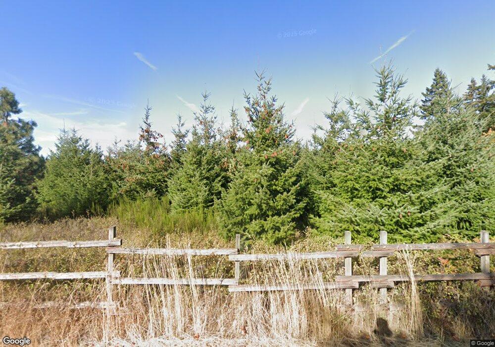
227 Bates Rd White Salmon, WA 98672
Estimated Value: $865,000 - $1,132,721
3
Beds
2
Baths
2,454
Sq Ft
$390/Sq Ft
Est. Value
About This Home
This home is located at 227 Bates Rd, White Salmon, WA 98672 and is currently estimated at $956,430, approximately $389 per square foot. 227 Bates Rd is a home located in Klickitat County with nearby schools including Hulan L. Whitson Elementary School, Wallace & Priscilla Stevenson Intermediate School, and Wayne M. Henkle Middle School.
Ownership History
Date
Name
Owned For
Owner Type
Purchase Details
Closed on
Dec 4, 2013
Sold by
Sullivan Keener Brandy
Bought by
Keener Sean
Current Estimated Value
Create a Home Valuation Report for This Property
The Home Valuation Report is an in-depth analysis detailing your home's value as well as a comparison with similar homes in the area
Home Values in the Area
Average Home Value in this Area
Purchase History
| Date | Buyer | Sale Price | Title Company |
|---|---|---|---|
| Keener Sean | -- | -- |
Source: Public Records
Tax History Compared to Growth
Tax History
| Year | Tax Paid | Tax Assessment Tax Assessment Total Assessment is a certain percentage of the fair market value that is determined by local assessors to be the total taxable value of land and additions on the property. | Land | Improvement |
|---|---|---|---|---|
| 2025 | $7,121 | $922,820 | $255,320 | $667,500 |
| 2023 | $7,121 | $598,440 | $195,240 | $403,200 |
| 2022 | $5,176 | $468,840 | $140,240 | $328,600 |
| 2021 | $5,104 | $491,020 | $162,420 | $328,600 |
| 2020 | $5,104 | $448,270 | $119,670 | $328,600 |
| 2018 | $4,769 | $449,070 | $119,670 | $329,400 |
| 2017 | $4,443 | $449,070 | $119,670 | $329,400 |
| 2016 | $4,510 | $449,070 | $119,670 | $329,400 |
| 2015 | $2,415 | $449,070 | $119,670 | $329,400 |
| 2013 | $2,415 | $350,070 | $115,670 | $234,400 |
Source: Public Records
Map
Nearby Homes
- 0 Snowden Rd Unit 287630705
- 55 Pyatt Rd
- 0 Kida Rd Unit 4 536876631
- 0 Kida Rd Unit 3 609997156
- 0 Kida Rd Unit 2 229478832
- 59 Tunnel Rd
- 96 Pearce Rd
- 8 Meadowlark Ln
- 15 Brookside Dr
- 121 Cooke Rd
- 101 Cooke Rd
- 34 Jewett Creek Loop Rd
- 143 Acme Rd
- 160 Major Creek Rd
- 80 Echo Glen Rd
- 961 Snowden Rd
- 590 NE Spring St
- 0 Cox Rd
- 113 Ingram Place
- 0 Lot 2 Plantation Dr Unit 24247938
