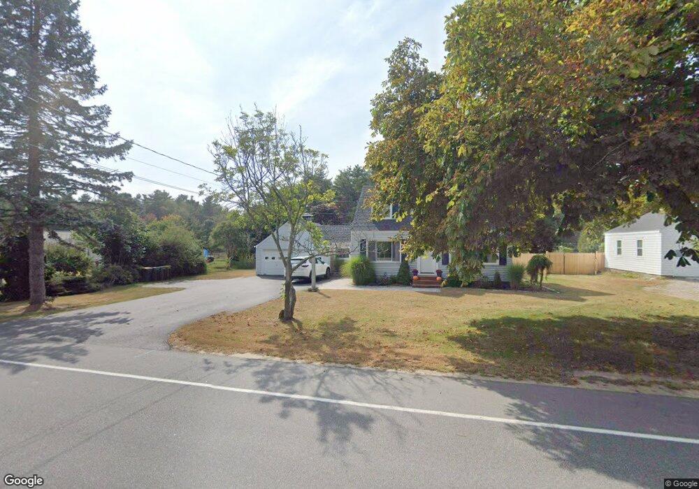
227 Black Point Rd Scarborough, ME 04074
Estimated Value: $500,000 - $619,000
3
Beds
2
Baths
1,260
Sq Ft
$432/Sq Ft
Est. Value
About This Home
This home is located at 227 Black Point Rd, Scarborough, ME 04074 and is currently estimated at $544,720, approximately $432 per square foot. 227 Black Point Rd is a home located in Cumberland County with nearby schools including Scarborough High School and Cornerstone Baptist Academy.
Ownership History
Date
Name
Owned For
Owner Type
Purchase Details
Closed on
Dec 7, 2023
Sold by
Welsch Marilyn L and Welsch Steven A
Bought by
Bartholomew Megan E and Bartholomew William M
Current Estimated Value
Purchase Details
Closed on
Nov 4, 2022
Sold by
Wong Caine W
Bought by
Bartholomew Megan and Bartholomew William M
Home Financials for this Owner
Home Financials are based on the most recent Mortgage that was taken out on this home.
Original Mortgage
$303,550
Interest Rate
6.7%
Mortgage Type
FHA
Create a Home Valuation Report for This Property
The Home Valuation Report is an in-depth analysis detailing your home's value as well as a comparison with similar homes in the area
Home Values in the Area
Average Home Value in this Area
Purchase History
| Date | Buyer | Sale Price | Title Company |
|---|---|---|---|
| Bartholomew Megan E | -- | None Available | |
| Bartholomew Megan E | -- | None Available | |
| Bartholomew Megan | $375,000 | None Available | |
| Bartholomew Megan | $375,000 | None Available |
Source: Public Records
Mortgage History
| Date | Status | Borrower | Loan Amount |
|---|---|---|---|
| Previous Owner | Bartholomew Megan | $303,550 |
Source: Public Records
Tax History Compared to Growth
Tax History
| Year | Tax Paid | Tax Assessment Tax Assessment Total Assessment is a certain percentage of the fair market value that is determined by local assessors to be the total taxable value of land and additions on the property. | Land | Improvement |
|---|---|---|---|---|
| 2024 | $5,166 | $472,600 | $251,700 | $220,900 |
| 2023 | $4,967 | $311,000 | $156,000 | $155,000 |
| 2022 | $4,786 | $311,000 | $156,000 | $155,000 |
| 2021 | $4,671 | $311,000 | $156,000 | $155,000 |
| 2020 | $4,621 | $311,000 | $156,000 | $155,000 |
| 2019 | $577 | $311,000 | $156,000 | $155,000 |
| 2017 | $4,052 | $245,700 | $166,400 | $79,300 |
| 2016 | $3,912 | $245,700 | $166,400 | $79,300 |
| 2015 | $3,806 | $245,700 | $166,400 | $79,300 |
| 2014 | $3,710 | $245,700 | $166,400 | $79,300 |
| 2013 | -- | $245,700 | $166,400 | $79,300 |
Source: Public Records
Map
Nearby Homes
- 5 Elbridge Oliver Way
- Lot 5 Trestle Way
- Lot 6 Trestle Way
- 48 Highland Ave
- 23 Plover Ln Unit 33
- 1 Coralburst Ln
- 119 Fogg Rd
- 6 Winding Way
- 24 Bayberry Ln
- 25 Atlantic Dr Unit 25
- 1 Teal Point Dr Unit 1
- 7 Atlantic Dr Unit 7
- 11 Vista Dr
- 1 Stratton Rd Unit 1
- 5 Traditional St
- 29 Stratton Rd
- 30 Stratton Rd Unit 30
- 9 Williamsburg Ln
- 11 Westwood Ave
- 8 Ballantyne Dr
- 225 Black Point Rd
- 229 Black Point Rd
- 226 Black Point Rd
- 228 Black Point Rd
- 223 Black Point Rd
- 231 Black Point Rd
- 222 Black Point Rd
- 230 Black Point Rd
- 220 Black Point Rd
- 221 Black Point Rd
- 235 Black Point Rd
- 6 Edward Dr
- 219 Black Point Rd
- 4 Clearwater Dr
- 218 Black Point Rd
- 4 Edward Dr
- 2 Gravel Rd
- 236 Black Point Rd
- 216 Black Point Rd
- 224 Black Point Rd