227 Cain Bridge Heights Dahlonega, GA 30533
Estimated Value: $72,699 - $386,000
--
Bed
--
Bath
--
Sq Ft
1.01
Acres
About This Home
This home is located at 227 Cain Bridge Heights, Dahlonega, GA 30533 and is currently estimated at $207,925. 227 Cain Bridge Heights is a home with nearby schools including Lumpkin County High School.
Ownership History
Date
Name
Owned For
Owner Type
Purchase Details
Closed on
May 2, 2006
Sold by
Martin Howard J
Bought by
Impac Funding Corp
Current Estimated Value
Purchase Details
Closed on
Jun 3, 2003
Sold by
Martin Howard
Bought by
Bankers Trust Company Of California
Purchase Details
Closed on
Jan 30, 2003
Sold by
Martin Howard J
Bought by
Glaze Jane
Purchase Details
Closed on
May 21, 1999
Sold by
Stover Jon David and Stover B
Bought by
Martin Howard J
Purchase Details
Closed on
Jul 1, 1988
Sold by
Lunceford Carla
Bought by
Stover Jon David and Stover B
Purchase Details
Closed on
Jun 28, 1988
Sold by
Lunceford David
Bought by
Lunceford Carla
Purchase Details
Closed on
Jun 16, 1988
Sold by
Sherll Sandra L
Bought by
Lunceford David
Purchase Details
Closed on
May 1, 1987
Sold by
Lunceford David
Bought by
Sherll Sandra L
Create a Home Valuation Report for This Property
The Home Valuation Report is an in-depth analysis detailing your home's value as well as a comparison with similar homes in the area
Home Values in the Area
Average Home Value in this Area
Purchase History
| Date | Buyer | Sale Price | Title Company |
|---|---|---|---|
| Impac Funding Corp | $65,100 | -- | |
| Bankers Trust Company Of California | -- | -- | |
| Glaze Jane | $43,000 | -- | |
| Martin Howard J | $78,000 | -- | |
| Stover Jon David | $9,000 | -- | |
| Lunceford Carla | -- | -- | |
| Lunceford David | $4,500 | -- | |
| Sherll Sandra L | -- | -- |
Source: Public Records
Tax History Compared to Growth
Tax History
| Year | Tax Paid | Tax Assessment Tax Assessment Total Assessment is a certain percentage of the fair market value that is determined by local assessors to be the total taxable value of land and additions on the property. | Land | Improvement |
|---|---|---|---|---|
| 2024 | $180 | $7,636 | $6,036 | $1,600 |
| 2023 | $180 | $7,636 | $6,036 | $1,600 |
| 2022 | $189 | $7,636 | $6,036 | $1,600 |
| 2021 | $138 | $5,372 | $3,772 | $1,600 |
| 2020 | $142 | $5,372 | $3,772 | $1,600 |
| 2019 | $143 | $5,372 | $3,772 | $1,600 |
| 2018 | $152 | $5,372 | $3,772 | $1,600 |
| 2017 | $155 | $5,372 | $3,772 | $1,600 |
| 2016 | $151 | $5,372 | $3,772 | $1,600 |
| 2015 | -- | $5,372 | $3,772 | $1,600 |
| 2014 | -- | $5,372 | $3,772 | $1,600 |
Source: Public Records
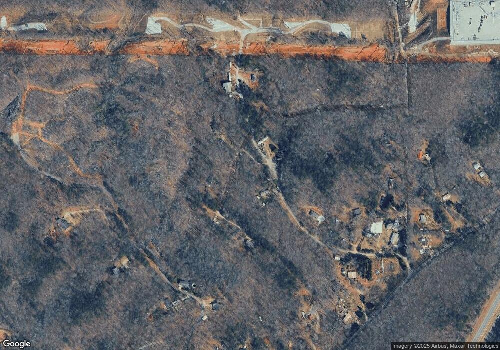
Map
Nearby Homes
- 70 Deerwood Cir
- 307 Eagle Overlook Dr
- TRACT1 Panorama Dr
- 334 Silas Rd
- 0 Charlie Lemley Rd Unit 7693340
- 0 Charlie Lemley Rd Unit 10658696
- 55 Flat Rock Pointe
- 0 Eagle Rest Rd Unit 13519388
- 1405 Burnt Stand Rd
- 7-/+ Charlie Lemley Rd
- 328 Jennifer Ct
- 5195 S Chestatee
- 0 Long Branch Rd Unit 10271720
- 0 Long Branch Rd Unit 10271266
- 0 Long Branch Rd Unit 7357871
- 00 Long Branch Rd
- 40 Chestatee Springs Rd
- 1 Grey Swan Way
- 433 Elliots Ln
- 131 Chestatee Springs Ridge
- 211 Cain Bridge Heights
- 238 Cain Bridge Heights
- 134 Kyle Stover Dr
- 168 Cain Bridge Heights Unit A,B
- 132 Kyle Stover Dr
- 140 Cain Bridge Heights
- 119 Kyle Stover Dr
- 371 Cain Bridge Heights
- 84 Cain Bridge Heights
- 82 Cain Bridge Heights
- 352 Lester Shelton Rd
- 310 Lester Shelton Rd
- 53 Lunceford Rd
- 129 Lunceford Rd
- 300 Lester Shelton Rd
- 52 Cain Bridge Heights
- 280 Lester Shelton Rd
- 280 Lester Shelton Rd Unit 2A
- 560 Cain Bridge Rd
- 634 Cain Bridge Rd