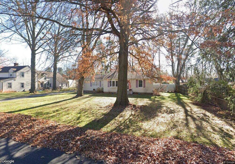
227 E Beverly Rd Wooster, OH 44691
Estimated Value: $169,000 - $217,000
2
Beds
1
Bath
896
Sq Ft
$218/Sq Ft
Est. Value
About This Home
This home is located at 227 E Beverly Rd, Wooster, OH 44691 and is currently estimated at $195,004, approximately $217 per square foot. 227 E Beverly Rd is a home located in Wayne County with nearby schools including Cornerstone Elementary School, Edgewood Middle School, and Wooster High School.
Ownership History
Date
Name
Owned For
Owner Type
Purchase Details
Closed on
Jan 31, 1997
Sold by
Hart Anita K
Bought by
Coder Amy B
Current Estimated Value
Home Financials for this Owner
Home Financials are based on the most recent Mortgage that was taken out on this home.
Original Mortgage
$71,963
Outstanding Balance
$8,319
Interest Rate
7.81%
Mortgage Type
FHA
Estimated Equity
$186,685
Purchase Details
Closed on
Oct 28, 1993
Sold by
Hunt Hubert B
Bought by
Hart Wayne D and Hart Anita K
Create a Home Valuation Report for This Property
The Home Valuation Report is an in-depth analysis detailing your home's value as well as a comparison with similar homes in the area
Home Values in the Area
Average Home Value in this Area
Purchase History
| Date | Buyer | Sale Price | Title Company |
|---|---|---|---|
| Coder Amy B | $72,000 | -- | |
| Hart Wayne D | $53,000 | -- |
Source: Public Records
Mortgage History
| Date | Status | Borrower | Loan Amount |
|---|---|---|---|
| Open | Coder Amy B | $71,963 |
Source: Public Records
Tax History
| Year | Tax Paid | Tax Assessment Tax Assessment Total Assessment is a certain percentage of the fair market value that is determined by local assessors to be the total taxable value of land and additions on the property. | Land | Improvement |
|---|---|---|---|---|
| 2024 | $2,240 | $54,220 | $17,570 | $36,650 |
| 2023 | $2,249 | $54,220 | $17,570 | $36,650 |
| 2022 | $2,005 | $38,450 | $12,460 | $25,990 |
| 2021 | $2,068 | $38,450 | $12,460 | $25,990 |
| 2020 | $1,961 | $38,450 | $12,460 | $25,990 |
| 2019 | $1,677 | $31,570 | $11,680 | $19,890 |
| 2018 | $1,682 | $31,570 | $11,680 | $19,890 |
| 2017 | $1,701 | $31,570 | $11,680 | $19,890 |
| 2016 | $1,762 | $30,630 | $11,680 | $18,950 |
| 2015 | $1,730 | $30,630 | $11,680 | $18,950 |
| 2014 | $1,731 | $30,630 | $11,680 | $18,950 |
| 2013 | $1,810 | $31,650 | $13,460 | $18,190 |
Source: Public Records
Map
Nearby Homes
- 2011 Burbank Rd
- 216 Ihrig Ave
- 317 Ihrig Ave
- 211 Oakley Rd
- 2208 Cleveland Rd
- 2586 Taylor St
- 539 Forest Creek Dr Unit 6842
- 2677 Taylor St
- 588 Forest Creek Dr
- V/L 6838 Forest Creek Dr
- 1774 Hila Way
- 220 Kinney St
- 1960 Autumn Run
- 2552 Monterey St
- 869 Meadow Ln
- 240 Winkler Dr
- 645 Ridgewood Dr
- 2020 Winkler Dr
- 1587 Saunders Dr
- 1575 Bellevue Dr
- 2031 Burbank Rd
- 241 E Beverly Rd
- 226 E Beverly Rd
- 2020 Homewood Ave
- 224 Ihrig Ave
- 230 Ihrig Ave
- 2107 Burbank Rd
- 238 Ihrig Ave
- 240 E Beverly Rd
- 306 Ihrig Ave
- 2029 Homewood Ave
- 324 E Beverly Rd
- 2121 Burbank Rd
- 314 Ihrig Ave
- 2030 Burbank Rd
- 307 E Beverly Rd
- 227 Blair Blvd
- 241 Blair Blvd
- 227 Ihrig Ave
- 2120 Burbank Rd
Your Personal Tour Guide
Ask me questions while you tour the home.