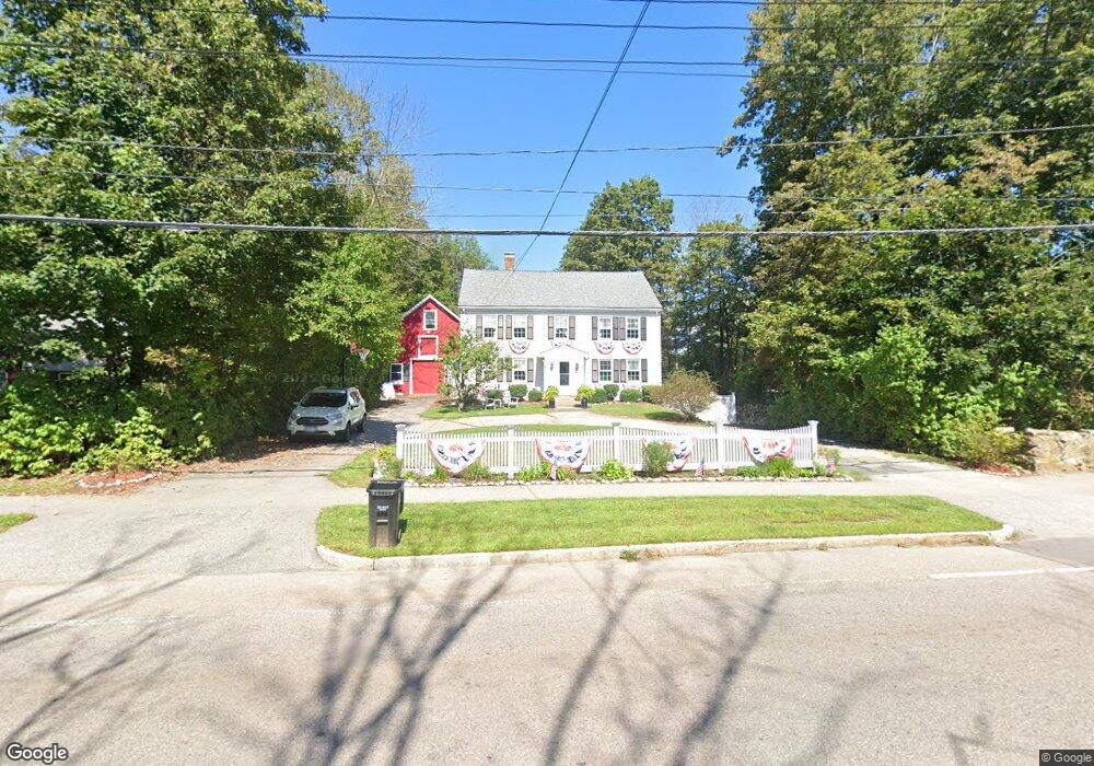
227 East St Wrentham, MA 02093
Estimated Value: $685,632 - $872,000
4
Beds
2
Baths
2,612
Sq Ft
$299/Sq Ft
Est. Value
About This Home
This home is located at 227 East St, Wrentham, MA 02093 and is currently estimated at $780,908, approximately $298 per square foot. 227 East St is a home located in Norfolk County with nearby schools including Delaney Elementary School and Charles E Roderick.
Ownership History
Date
Name
Owned For
Owner Type
Purchase Details
Closed on
Sep 18, 2003
Sold by
Blair Peter J and Blair Kelly A
Bought by
Lucas James A and Lucas Lisa M
Current Estimated Value
Home Financials for this Owner
Home Financials are based on the most recent Mortgage that was taken out on this home.
Original Mortgage
$344,000
Outstanding Balance
$160,350
Interest Rate
6.31%
Mortgage Type
Purchase Money Mortgage
Estimated Equity
$620,558
Purchase Details
Closed on
Oct 30, 1997
Sold by
Fletcher George H and Fletcher Eleanor H
Bought by
Blair Peter J and Blair Kelly A
Home Financials for this Owner
Home Financials are based on the most recent Mortgage that was taken out on this home.
Original Mortgage
$183,200
Interest Rate
7.31%
Mortgage Type
Purchase Money Mortgage
Create a Home Valuation Report for This Property
The Home Valuation Report is an in-depth analysis detailing your home's value as well as a comparison with similar homes in the area
Home Values in the Area
Average Home Value in this Area
Purchase History
| Date | Buyer | Sale Price | Title Company |
|---|---|---|---|
| Lucas James A | $430,000 | -- | |
| Blair Peter J | $235,000 | -- |
Source: Public Records
Mortgage History
| Date | Status | Borrower | Loan Amount |
|---|---|---|---|
| Open | Blair Peter J | $344,000 | |
| Closed | Blair Peter J | $86,000 | |
| Previous Owner | Blair Peter J | $183,200 | |
| Previous Owner | Blair Peter J | $40,000 |
Source: Public Records
Tax History Compared to Growth
Tax History
| Year | Tax Paid | Tax Assessment Tax Assessment Total Assessment is a certain percentage of the fair market value that is determined by local assessors to be the total taxable value of land and additions on the property. | Land | Improvement |
|---|---|---|---|---|
| 2025 | $6,173 | $532,600 | $264,700 | $267,900 |
| 2024 | $6,209 | $517,400 | $264,700 | $252,700 |
| 2023 | $5,376 | $426,000 | $240,700 | $185,300 |
| 2022 | $5,691 | $416,300 | $216,700 | $199,600 |
| 2021 | $5,431 | $386,000 | $193,600 | $192,400 |
| 2020 | $5,244 | $368,000 | $176,700 | $191,300 |
| 2019 | $4,969 | $351,900 | $160,600 | $191,300 |
| 2018 | $5,807 | $407,800 | $160,800 | $247,000 |
| 2017 | $5,416 | $380,100 | $157,700 | $222,400 |
| 2016 | $5,301 | $371,200 | $153,100 | $218,100 |
| 2015 | $5,080 | $339,100 | $147,200 | $191,900 |
| 2014 | $5,003 | $326,800 | $141,600 | $185,200 |
Source: Public Records
Map
Nearby Homes
- 362 East St
- 1 Lorraine Metcalf Dr
- 10 Nature View Dr
- 15 Nature View Dr
- 270 Dedham St
- 319 Taunton St
- 65 Pond St
- 131 Creek St Unit 7
- 11 Earle Stewart Ln
- 120 Hawes St
- Lot 3 - 14 Earle Stewart Ln
- Lot 1 - Blueberry 2 Car Plan at King Philip Estates
- Lot 8 - Blueberry 2 Car Plan at King Philip Estates
- Lot 5 - Hughes 2 car Plan at King Philip Estates
- Lot 6 - Blueberry 3 Car Plan at King Philip Estates
- Lot 2 - Camden 2 Car Plan at King Philip Estates
- Lot 7 - Cedar Plan at King Philip Estates
- Lot 4 - Hemingway 2 Car Plan at King Philip Estates
- Lot 3 - Blueberry 2 Car Plan at King Philip Estates
- 483 Thurston St