227 Eliot Ln Albrightsville, PA 18210
Estimated Value: $169,000 - $309,000
5
Beds
2
Baths
1,462
Sq Ft
$169/Sq Ft
Est. Value
About This Home
This home is located at 227 Eliot Ln, Albrightsville, PA 18210 and is currently estimated at $247,785, approximately $169 per square foot. 227 Eliot Ln is a home with nearby schools including Jim Thorpe Area High School.
Ownership History
Date
Name
Owned For
Owner Type
Purchase Details
Closed on
Feb 18, 2009
Sold by
Garfield Michael J
Bought by
Johnson Joanne M and Johnson Gordon E
Current Estimated Value
Home Financials for this Owner
Home Financials are based on the most recent Mortgage that was taken out on this home.
Original Mortgage
$52,500
Outstanding Balance
$33,115
Interest Rate
5.06%
Mortgage Type
New Conventional
Estimated Equity
$214,670
Purchase Details
Closed on
Oct 19, 2006
Sold by
Magiocco Joseph M
Bought by
Magliocco Joseph M
Create a Home Valuation Report for This Property
The Home Valuation Report is an in-depth analysis detailing your home's value as well as a comparison with similar homes in the area
Home Values in the Area
Average Home Value in this Area
Purchase History
| Date | Buyer | Sale Price | Title Company |
|---|---|---|---|
| Johnson Joanne M | $70,000 | None Available | |
| Magliocco Joseph M | -- | None Available |
Source: Public Records
Mortgage History
| Date | Status | Borrower | Loan Amount |
|---|---|---|---|
| Open | Johnson Joanne M | $52,500 |
Source: Public Records
Tax History Compared to Growth
Tax History
| Year | Tax Paid | Tax Assessment Tax Assessment Total Assessment is a certain percentage of the fair market value that is determined by local assessors to be the total taxable value of land and additions on the property. | Land | Improvement |
|---|---|---|---|---|
| 2025 | $1,431 | $23,256 | $4,250 | $19,006 |
| 2024 | $1,361 | $23,256 | $4,250 | $19,006 |
| 2023 | $1,344 | $23,256 | $4,250 | $19,006 |
| 2022 | $1,344 | $23,256 | $4,250 | $19,006 |
| 2021 | $1,344 | $23,256 | $4,250 | $19,006 |
| 2020 | $1,344 | $23,256 | $4,250 | $19,006 |
| 2019 | $1,297 | $23,256 | $4,250 | $19,006 |
| 2018 | $1,297 | $23,256 | $4,250 | $19,006 |
| 2017 | $1,297 | $23,256 | $4,250 | $19,006 |
| 2016 | -- | $23,256 | $4,250 | $19,006 |
| 2015 | -- | $23,256 | $4,250 | $19,006 |
| 2014 | -- | $23,256 | $4,250 | $19,006 |
Source: Public Records
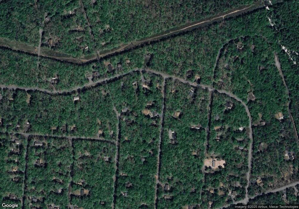
Map
Nearby Homes
- 0 Towamensing Trail & Whitman Ln Unit PM-132609
- 118 Towamensing Trail
- A7 Dryden Dr
- 1 Dryden Dr
- 50 Poe Cir
- A50 Poe Cir
- 222 Keats Ln
- 223 Towamensing Trail
- 0 Eliot Ln
- B546 Teddyuscung Trail
- B566 Teddyuscung Trail
- 174 Teddyuscung Trail
- 56 Dryden Dr
- A39 Towamensing Trail Dryden Dr
- 54 Spencer Ln
- 40 Mushroom Ln
- 191 Keats Ln
- 76 Thomas Ln
- 25 Byron Ln
- B927 Towamensing Trail
- 225 Eliot Ln
- 221 Eliot Ln
- 148 Towamensing Trail
- 102 Frost Ln
- 255 Eliot Ln
- 231 Eliot Ln
- 106 Frost Ln
- 140 Towamensing Trail
- 158 Towamensing Trail
- 228 Eliot Ln
- 98 Frost Ln
- 228 Elliot Ln
- 267 Eliot Ln
- 136 Towamensing Trail
- 92 Frost Ln
- 213 Eliot Ln
- 68 Tomahawk Trail
- 257 Eliot Ln
- 214 Eliot Ln
- A63 Towamensing 1weuz688c7nq