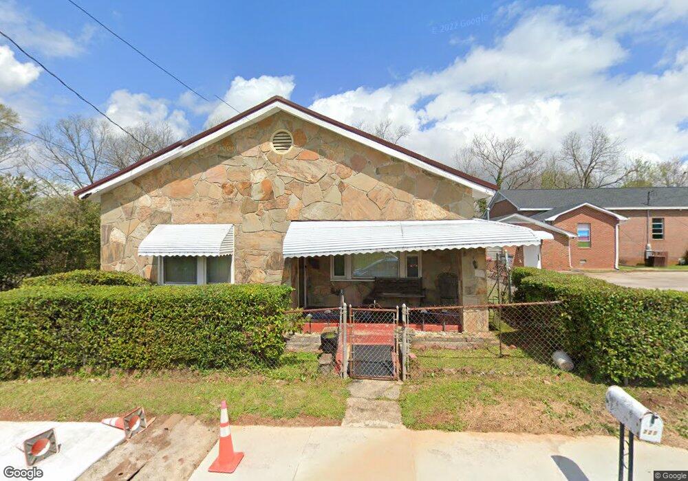
227 Fendig St Lagrange, GA 30241
Estimated Value: $84,000 - $178,000
3
Beds
2
Baths
1,484
Sq Ft
$84/Sq Ft
Est. Value
About This Home
This home is located at 227 Fendig St, Lagrange, GA 30241 and is currently estimated at $124,047, approximately $83 per square foot. 227 Fendig St is a home located in Troup County with nearby schools including Callaway Elementary School, Hogansville Elementary School, and Callaway Middle School.
Ownership History
Date
Name
Owned For
Owner Type
Purchase Details
Closed on
Jan 27, 2005
Sold by
Cotton Margaret
Bought by
Cotton Margaret and Robbin Brewer
Current Estimated Value
Purchase Details
Closed on
Sep 12, 2000
Sold by
Cotton Willie Pearl and Cotton Margaret
Bought by
Cotton Margaret
Purchase Details
Closed on
Mar 3, 1997
Sold by
Willie Pearl Cotton Int
Bought by
Cotton Willie Pearl and Cotton Margaret
Purchase Details
Closed on
Feb 22, 1997
Sold by
Margaret Cotton
Bought by
Willie Pearl Cotton Int
Purchase Details
Closed on
Jan 1, 1927
Bought by
Margaret Cotton
Create a Home Valuation Report for This Property
The Home Valuation Report is an in-depth analysis detailing your home's value as well as a comparison with similar homes in the area
Home Values in the Area
Average Home Value in this Area
Purchase History
| Date | Buyer | Sale Price | Title Company |
|---|---|---|---|
| Cotton Margaret | -- | -- | |
| Cotton Margaret | -- | -- | |
| Cotton Willie Pearl | -- | -- | |
| Willie Pearl Cotton Int | -- | -- | |
| Margaret Cotton | -- | -- |
Source: Public Records
Tax History Compared to Growth
Tax History
| Year | Tax Paid | Tax Assessment Tax Assessment Total Assessment is a certain percentage of the fair market value that is determined by local assessors to be the total taxable value of land and additions on the property. | Land | Improvement |
|---|---|---|---|---|
| 2024 | $664 | $26,328 | $2,960 | $23,368 |
| 2023 | $631 | $25,128 | $2,960 | $22,168 |
| 2022 | $555 | $21,888 | $2,960 | $18,928 |
| 2021 | $457 | $17,144 | $1,480 | $15,664 |
| 2020 | $457 | $17,144 | $1,480 | $15,664 |
| 2019 | $404 | $15,372 | $1,484 | $13,888 |
| 2018 | $404 | $15,372 | $1,484 | $13,888 |
| 2017 | $404 | $15,372 | $1,484 | $13,888 |
| 2016 | $395 | $15,077 | $1,484 | $13,593 |
| 2015 | $396 | $15,077 | $1,484 | $13,593 |
| 2014 | $347 | $13,456 | $1,484 | $11,972 |
| 2013 | -- | $14,520 | $1,484 | $13,036 |
Source: Public Records
Map
Nearby Homes
- 0 E Fendig St
- 113 E Fendig St
- 901 Whiteline St
- 109 Bell St
- 311 Colquitt St
- 0 Boggs St Unit 10550243
- 0 Boggs St Unit 10550231
- 0 Boggs St Unit 10550239
- 0 Boggs St Unit 10550250
- 101 Cedar St
- 304 Butler St
- 0 Bagley St
- 200 Mccall St
- 303 E Mulberry St
- 0 Brown St Unit 10550761
- 0 Brown St Unit 10550754
- 114 Brenda Blvd
- 205 Fannin St
- 626 Smoot St
- 510 Smoot St
- 219 Fendig St
- 220 E Crovat St
- 216 E Crovat St
- 215 Fendig St
- 214 E Crovat St
- 222 E Crovat St
- 219 E Crovat St
- 217 E Crovat St
- 217 E Crovat St
- 209 Fendig St
- 217 Bell St
- 206 E Crovat St
- 206 1/2 E Crovat St
- 213 E Crovat St
- 215 Bell St
- 704 Hamilton Rd
- 204 E Crovat St
- 200 Fendig St
- 913 Hamilton Rd
- 702 1/2 Hamilton Rd