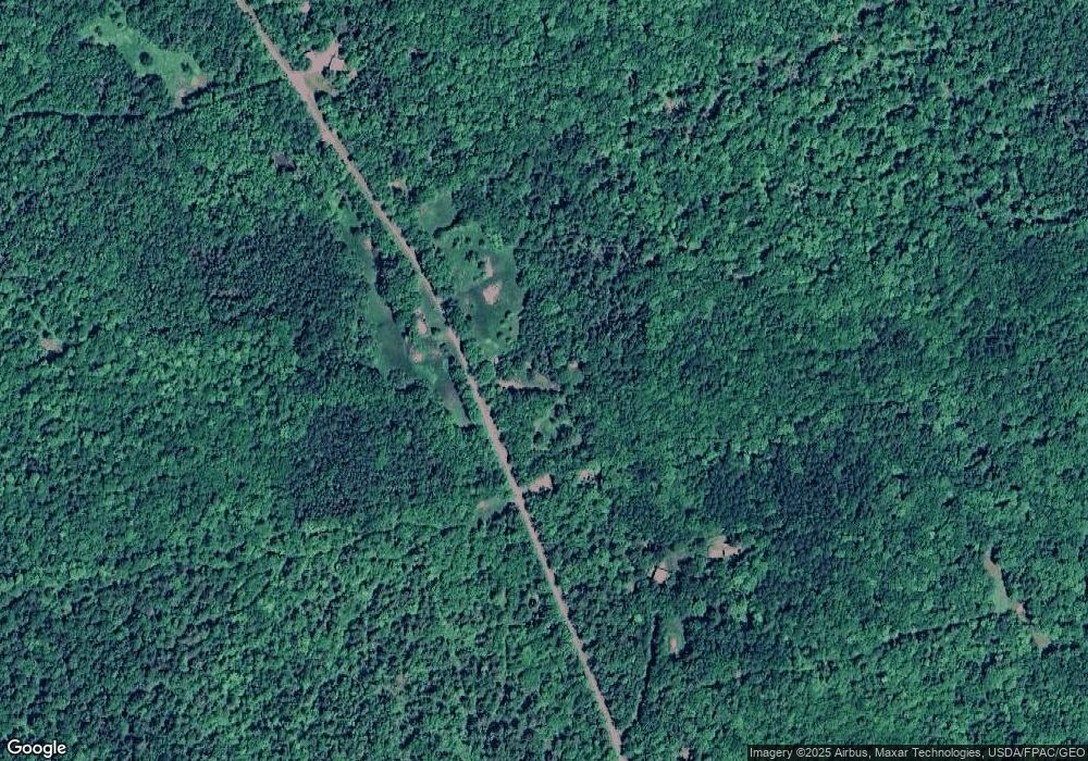
227 George E Cole Rd New Portland, ME 04961
Estimated Value: $121,857 - $210,000
2
Beds
1
Bath
600
Sq Ft
$274/Sq Ft
Est. Value
About This Home
This home is located at 227 George E Cole Rd, New Portland, ME 04961 and is currently estimated at $164,464, approximately $274 per square foot. 227 George E Cole Rd is a home located in Somerset County.
Ownership History
Date
Name
Owned For
Owner Type
Purchase Details
Closed on
Jul 30, 2021
Sold by
Kendall David G and Kendall Paulette J
Bought by
Leblanc Joseph R and Mceachern Tammy S
Current Estimated Value
Home Financials for this Owner
Home Financials are based on the most recent Mortgage that was taken out on this home.
Original Mortgage
$40,000
Outstanding Balance
$36,389
Interest Rate
2.93%
Mortgage Type
Purchase Money Mortgage
Estimated Equity
$128,075
Purchase Details
Closed on
Sep 9, 2013
Sold by
Carter Dale P and Moore-Carter Patricia
Bought by
Kendall David G and Kendall Paulette J
Home Financials for this Owner
Home Financials are based on the most recent Mortgage that was taken out on this home.
Original Mortgage
$58,000
Interest Rate
4.34%
Mortgage Type
New Conventional
Purchase Details
Closed on
Oct 14, 2005
Sold by
Olson Maureen I
Bought by
Kendall David G and Kendall Paulette J
Create a Home Valuation Report for This Property
The Home Valuation Report is an in-depth analysis detailing your home's value as well as a comparison with similar homes in the area
Home Values in the Area
Average Home Value in this Area
Purchase History
| Date | Buyer | Sale Price | Title Company |
|---|---|---|---|
| Leblanc Joseph R | -- | None Available | |
| Kendall David G | -- | -- | |
| Kendall David G | -- | -- |
Source: Public Records
Mortgage History
| Date | Status | Borrower | Loan Amount |
|---|---|---|---|
| Open | Leblanc Joseph R | $40,000 | |
| Previous Owner | Kendall David G | $58,000 |
Source: Public Records
Tax History Compared to Growth
Tax History
| Year | Tax Paid | Tax Assessment Tax Assessment Total Assessment is a certain percentage of the fair market value that is determined by local assessors to be the total taxable value of land and additions on the property. | Land | Improvement |
|---|---|---|---|---|
| 2024 | $821 | $58,200 | $51,900 | $6,300 |
| 2023 | $697 | $50,500 | $44,200 | $6,300 |
| 2022 | $752 | $50,800 | $44,200 | $6,600 |
| 2021 | $829 | $38,900 | $34,000 | $4,900 |
| 2020 | $307 | $38,900 | $34,000 | $4,900 |
| 2019 | $506 | $38,900 | $34,000 | $4,900 |
| 2018 | $2,829 | $61,100 | $32,000 | $29,100 |
| 2017 | $476 | $41,800 | $32,000 | $9,800 |
| 2016 | $711 | $39,700 | $30,000 | $9,700 |
| 2015 | $675 | $39,700 | $30,000 | $9,700 |
| 2014 | $675 | $39,700 | $30,000 | $9,700 |
| 2013 | $535 | $31,100 | $24,000 | $7,100 |
Source: Public Records
Map
Nearby Homes
- 2401 Long Falls Dam Rd
- 461 Long Falls Dam Rd
- 205 Long Falls Dam Rd
- 307 Gilman Pond Rd
- Lot 76.3 23 Acres Off Long Falls Dam Rd
- 176 Long Falls Dam Rd
- 28 Long Falls Dam Rd
- 22 Long Falls Dam Rd
- 283 Meadow Brook Rd
- 320 School St
- 18 Pinkham Rd
- M12 Lot 5 22
- 56 School St
- Lot # 16.2 Lane Pond Rd
- 785 Carrying Place Rd
- 1 Katie Crotch Rd
- M7 L1-20 Off Pine Bluff Dr
- 14 Fall Dr
- 111 Pine Bluff Rd
- 34 Birch Rd
- 236 George Cole Rd
- 187 George Cole Rd
- TBD George Cole Rd
- TBD George E Cole Rd
- 0 George Cole Rd Unit 1335831
- 0 George E Cole Rd
- 0 Berry Hill Rd
- 0 Berry Hill Rd
- 185 George Cole Rd
- 263 George Cole Rd
- 286 George E Cole Rd
- 322 George Cole Rd
- 158 George Cole Rd
- 423 Long Falls Dam Rd
- 283 George Cole Rd
- 302 George Cole Rd
- 331 Long Falls Dam Rd
- 401 Long Falls Dam Rd
- 311 George Cole Rd
- 334 Long Falls Dam Rd
