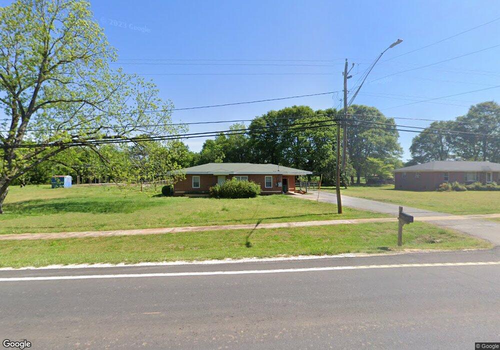
227 Highway 98 E Danielsville, GA 30633
Estimated Value: $197,431 - $240,000
--
Bed
1
Bath
1,188
Sq Ft
$186/Sq Ft
Est. Value
About This Home
This home is located at 227 Highway 98 E, Danielsville, GA 30633 and is currently estimated at $220,858, approximately $185 per square foot. 227 Highway 98 E is a home located in Madison County with nearby schools including Madison County High School.
Ownership History
Date
Name
Owned For
Owner Type
Purchase Details
Closed on
May 17, 2019
Sold by
Stanley Thomas
Bought by
Bolton William Noah
Current Estimated Value
Home Financials for this Owner
Home Financials are based on the most recent Mortgage that was taken out on this home.
Original Mortgage
$118,808
Outstanding Balance
$104,026
Interest Rate
4.1%
Mortgage Type
New Conventional
Estimated Equity
$116,832
Purchase Details
Closed on
Jun 25, 2001
Sold by
Thomas James S
Bought by
Thomas Stanely
Purchase Details
Closed on
Jan 1, 1960
Bought by
Thomas James S
Create a Home Valuation Report for This Property
The Home Valuation Report is an in-depth analysis detailing your home's value as well as a comparison with similar homes in the area
Home Values in the Area
Average Home Value in this Area
Purchase History
| Date | Buyer | Sale Price | Title Company |
|---|---|---|---|
| Bolton William Noah | $121,000 | -- | |
| Thomas Stanely | -- | -- | |
| Thomas James S | -- | -- |
Source: Public Records
Mortgage History
| Date | Status | Borrower | Loan Amount |
|---|---|---|---|
| Open | Bolton William Noah | $118,808 |
Source: Public Records
Tax History Compared to Growth
Tax History
| Year | Tax Paid | Tax Assessment Tax Assessment Total Assessment is a certain percentage of the fair market value that is determined by local assessors to be the total taxable value of land and additions on the property. | Land | Improvement |
|---|---|---|---|---|
| 2024 | $1,295 | $40,881 | $8,448 | $32,433 |
| 2023 | $1,362 | $37,205 | $7,040 | $30,165 |
| 2022 | $1,013 | $31,193 | $4,844 | $26,349 |
| 2021 | $890 | $24,324 | $4,844 | $19,480 |
| 2020 | $868 | $23,620 | $4,140 | $19,480 |
| 2019 | $825 | $22,222 | $4,140 | $18,082 |
| 2018 | $782 | $20,992 | $3,788 | $17,204 |
| 2017 | $691 | $20,194 | $3,520 | $16,674 |
| 2016 | $593 | $17,135 | $3,200 | $13,935 |
| 2015 | $514 | $17,135 | $3,200 | $13,935 |
| 2014 | $491 | $16,316 | $2,880 | $13,436 |
| 2013 | -- | $16,316 | $2,880 | $13,436 |
Source: Public Records
Map
Nearby Homes
- 430 Sherwood Cir
- 105 Georgia 98
- 00 Highway 29 Unit A
- 255 Hillwood Dr Unit 1
- 0 Colbert Danielsville Lot 12 Rd
- 0 Colbert Danielsville Lot 10 Rd
- 0 Colbert Danielsville Lot 11 Rd
- 170 Northridge Dr
- 150 Northridge Dr Unit 3
- 150 Northridge Dr
- 140 Northridge Dr
- 140 Northridge Dr Unit 6
- 112 Northridge Dr Unit 8
- 112 Northridge Dr
- 96 Northridge Dr Unit 10
- 96 Northridge Dr
- 49 Ridgeway Dr
- 0 Veterans Dr Unit 10462425
- 0 Veterans Dr Unit 10462434
- 0 Veterans Dr Unit 10462428
- 227 Hwy 98e
- 247 Highway 98 E
- 181 Georgia 98
- 181 Highway 98 E
- 240 Highway 98 E
- 199 Highway 98 E
- 273 Highway 98 E
- 273 Highway 98 E
- 20 Sherwood Dr
- 205 Sunset Dr
- 00 Sunset Dr
- 100 Georgia 98
- 21 Sherwood Dr Unit 1
- 21 Sherwood Dr
- 100 Hwy 98e
- 100 Highway 98 E
- 251 Sunset Dr
- 52 Sherwood Dr
- 70 Sherwood Dr
- 315 Sunset Dr