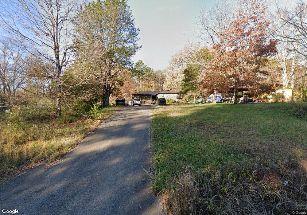
227 Hurricane Creek Rd Gurley, AL 35748
Estimated Value: $187,095 - $279,000
--
Bed
--
Bath
1,803
Sq Ft
$131/Sq Ft
Est. Value
About This Home
This home is located at 227 Hurricane Creek Rd, Gurley, AL 35748 and is currently estimated at $236,774, approximately $131 per square foot. 227 Hurricane Creek Rd is a home with nearby schools including Central School and Madison County High School.
Ownership History
Date
Name
Owned For
Owner Type
Purchase Details
Closed on
Jul 20, 2009
Sold by
Mlc Partners Ltd
Bought by
Hendrix Timothy W
Current Estimated Value
Home Financials for this Owner
Home Financials are based on the most recent Mortgage that was taken out on this home.
Original Mortgage
$76,095
Outstanding Balance
$49,816
Interest Rate
5.37%
Mortgage Type
FHA
Estimated Equity
$186,958
Purchase Details
Closed on
Jun 18, 2009
Sold by
Mlc Partners Ltd
Bought by
Mlc Partners Ltd
Home Financials for this Owner
Home Financials are based on the most recent Mortgage that was taken out on this home.
Original Mortgage
$76,095
Outstanding Balance
$49,816
Interest Rate
5.37%
Mortgage Type
FHA
Estimated Equity
$186,958
Create a Home Valuation Report for This Property
The Home Valuation Report is an in-depth analysis detailing your home's value as well as a comparison with similar homes in the area
Home Values in the Area
Average Home Value in this Area
Purchase History
| Date | Buyer | Sale Price | Title Company |
|---|---|---|---|
| Hendrix Timothy W | -- | -- | |
| Mlc Partners Ltd | -- | -- |
Source: Public Records
Mortgage History
| Date | Status | Borrower | Loan Amount |
|---|---|---|---|
| Open | Hendrix Timothy W | $76,095 |
Source: Public Records
Tax History Compared to Growth
Tax History
| Year | Tax Paid | Tax Assessment Tax Assessment Total Assessment is a certain percentage of the fair market value that is determined by local assessors to be the total taxable value of land and additions on the property. | Land | Improvement |
|---|---|---|---|---|
| 2024 | -- | $14,100 | $2,480 | $11,620 |
| 2023 | $0 | $13,780 | $2,480 | $11,300 |
| 2022 | $0 | $11,340 | $1,300 | $10,040 |
| 2021 | $266 | $10,260 | $1,300 | $8,960 |
| 2020 | $0 | $9,630 | $1,290 | $8,340 |
| 2019 | $266 | $9,320 | $1,290 | $8,030 |
| 2018 | $266 | $8,700 | $0 | $0 |
| 2017 | $266 | $8,700 | $0 | $0 |
| 2016 | $215 | $7,300 | $0 | $0 |
| 2015 | $215 | $7,300 | $0 | $0 |
| 2014 | $213 | $7,240 | $0 | $0 |
Source: Public Records
Map
Nearby Homes
- 216 Grasslands Rd
- 221 Grasslands Rd
- 235 Grasslands Rd
- 1519 Ryland Pike
- 211 Powell St
- 218 Powell St
- 102 Peyton Cir
- 107 Nolan Dr
- 172 Day Dr
- 0 Gilliam Rd
- 309 Gilliam Rd
- 3608 Maysville Rd NE
- 111 Cool Cir
- 483 Moontown Rd
- 477 Moontown Rd
- 506 Moontown Rd
- 362 Moontown Rd
- 350 Moontown Rd
- 123 Delta Pine Dr
- PPin#507136 Moontown Rd
- 213 Hurricane Creek Rd
- 189 Hurricane Creek Rd
- 194 Hurricane Creek Rd
- 169 Hurricane Creek Rd
- 200 Magnolia Glen Dr
- 168 Hurricane Creek Rd
- 207 Grasslands Rd
- 201 Magnolia Glen Dr
- 209 Grasslands Rd
- 157 Hurricane Creek Rd
- 158 Hurricane Creek Rd
- 301 Hurricane Creek Rd
- 202 Magnolia Glen Dr
- 203 Magnolia Glen Dr
- 204 Magnolia Glen Dr
- 211 Grasslands Rd
- 202 Poplar Glen
- 200 Poplar Glen Dr
- 213 Grasslands Rd
- 205 Magnolia Glen Dr