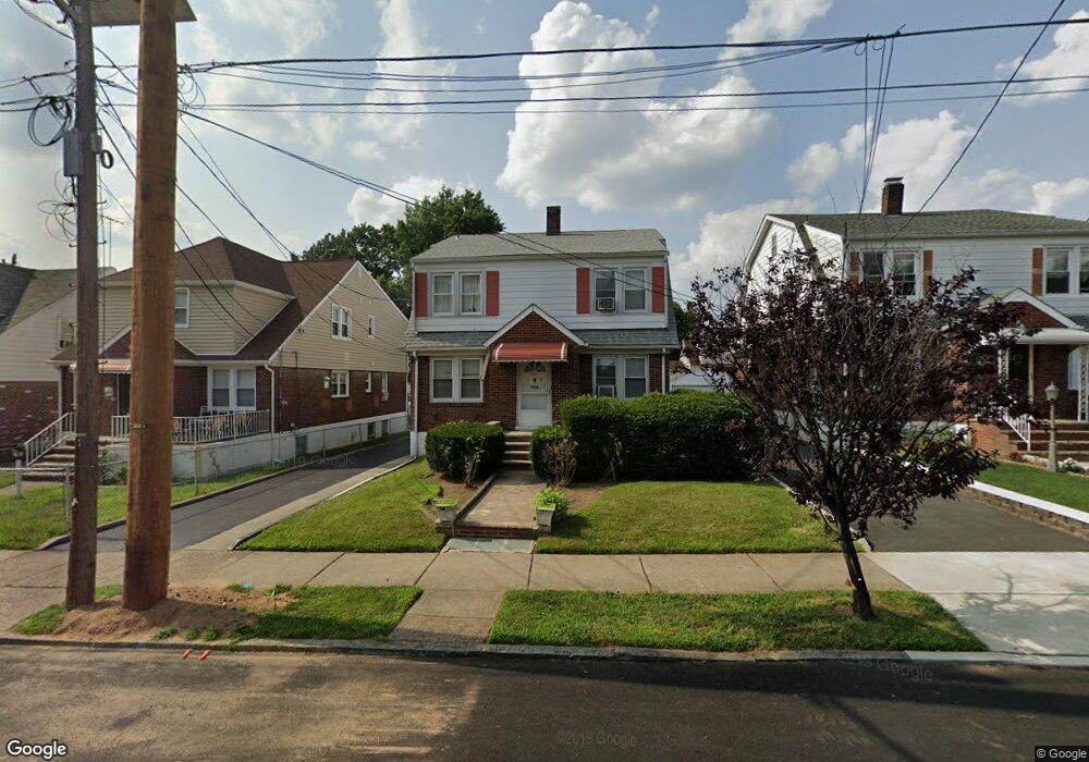
227 Illinois Ave Unit 231 Paterson, NJ 07503
South Paterson NeighborhoodEstimated Value: $628,275 - $680,000
--
Bed
--
Bath
2,132
Sq Ft
$303/Sq Ft
Est. Value
About This Home
This home is located at 227 Illinois Ave Unit 231, Paterson, NJ 07503 and is currently estimated at $645,069, approximately $302 per square foot. 227 Illinois Ave Unit 231 is a home located in Passaic County with nearby schools including Dale Avenue Elementary School, Edward W. Kilpatrick School of Discovery, and Paterson Public School No. 3.
Ownership History
Date
Name
Owned For
Owner Type
Purchase Details
Closed on
Jun 10, 1996
Sold by
Kropelnitski Agnes
Bought by
Pias Adao and Pias Marua
Current Estimated Value
Home Financials for this Owner
Home Financials are based on the most recent Mortgage that was taken out on this home.
Original Mortgage
$113,000
Outstanding Balance
$7,464
Interest Rate
8.37%
Estimated Equity
$637,605
Create a Home Valuation Report for This Property
The Home Valuation Report is an in-depth analysis detailing your home's value as well as a comparison with similar homes in the area
Home Values in the Area
Average Home Value in this Area
Purchase History
| Date | Buyer | Sale Price | Title Company |
|---|---|---|---|
| Pias Adao | $162,500 | -- |
Source: Public Records
Mortgage History
| Date | Status | Borrower | Loan Amount |
|---|---|---|---|
| Open | Pias Adao | $113,000 |
Source: Public Records
Tax History Compared to Growth
Tax History
| Year | Tax Paid | Tax Assessment Tax Assessment Total Assessment is a certain percentage of the fair market value that is determined by local assessors to be the total taxable value of land and additions on the property. | Land | Improvement |
|---|---|---|---|---|
| 2025 | $13,247 | $260,000 | $81,700 | $178,300 |
| 2024 | $12,748 | $260,000 | $81,700 | $178,300 |
| 2022 | $12,069 | $260,000 | $81,700 | $178,300 |
| 2021 | $11,638 | $260,000 | $81,700 | $178,300 |
| 2020 | $10,855 | $260,000 | $81,700 | $178,300 |
| 2019 | $10,513 | $254,300 | $80,200 | $174,100 |
| 2018 | $10,850 | $250,800 | $79,500 | $171,300 |
| 2017 | $10,358 | $249,000 | $79,000 | $170,000 |
| 2016 | $11,025 | $254,100 | $74,500 | $179,600 |
| 2015 | $10,438 | $254,100 | $74,500 | $179,600 |
| 2014 | $12,574 | $433,600 | $224,500 | $209,100 |
Source: Public Records
Map
Nearby Homes
- 291 Maryland Ave Unit 295
- 238 Vernon Ave Unit 240
- 366-2-382 Trenton Ave Unit 5D
- 366-2-382 Trenton Ave Unit 5B
- 366 Trenton Ave Unit 4F
- 693-695 E 31st St
- 693 E 31st St Unit 695
- 652 654e32nd St
- 652 E 32nd St Unit 654
- 156 Kentucky Ave Unit 158
- 248 22nd Ave
- 41 Columbia Ave
- 432-434 Trenton Ave Unit 7
- 432 Trenton Ave
- 310-312 Vreeland Ave
- 310 Vreeland Ave Unit 312
- 30 E 2nd St
- 165 E 2nd St
- 102 22nd Ave Unit 104
- 92 Wabash Ave
- 231 Illinois Ave Unit 233
- 223 Illinois Ave Unit 227
- 221-223 Illinois Ave
- 217 Illinois Ave Unit 221
- 221 Illinois Ave Unit 223
- 144 Vernon Ave Unit 146
- 144-146 Vernon Ave
- 241 Illinois Ave Unit 245
- 241-245 Illinois Ave
- 215 Illinois Ave Unit 217
- 140 Vernon Ave Unit 142
- 143 Vernon Ave Unit 145
- 147 Vernon Ave Unit 149
- 211-213 Illinois Ave
- 211 Illinois Ave Unit 213
- 228 Florida Ave Unit 230
- 245-249 Illinois Ave
- 245 Illinois Ave Unit 249
- 136 Vernon Ave Unit 138
- 165 Vernon Ave Unit 169