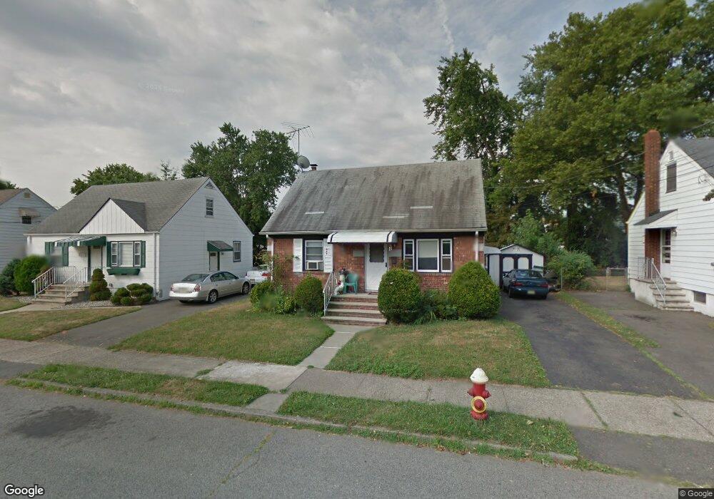
227 Linwood Ave Unit 1 Paterson, NJ 07502
Hillcrest NeighborhoodEstimated Value: $481,000 - $518,000
3
Beds
2
Baths
1,224
Sq Ft
$408/Sq Ft
Est. Value
About This Home
This home is located at 227 Linwood Ave Unit 1, Paterson, NJ 07502 and is currently estimated at $499,301, approximately $407 per square foot. 227 Linwood Ave Unit 1 is a home located in Passaic County with nearby schools including Edward W. Kilpatrick School of Discovery, Dale Avenue Elementary School, and Paterson Public School No. 5.
Ownership History
Date
Name
Owned For
Owner Type
Purchase Details
Closed on
May 18, 2004
Sold by
Jackson Margaret
Bought by
Hussain Sabir and Hussain Zahida
Current Estimated Value
Home Financials for this Owner
Home Financials are based on the most recent Mortgage that was taken out on this home.
Original Mortgage
$145,000
Outstanding Balance
$69,797
Interest Rate
5.88%
Estimated Equity
$429,504
Create a Home Valuation Report for This Property
The Home Valuation Report is an in-depth analysis detailing your home's value as well as a comparison with similar homes in the area
Home Values in the Area
Average Home Value in this Area
Purchase History
| Date | Buyer | Sale Price | Title Company |
|---|---|---|---|
| Hussain Sabir | $245,000 | -- |
Source: Public Records
Mortgage History
| Date | Status | Borrower | Loan Amount |
|---|---|---|---|
| Open | Hussain Sabir | $145,000 |
Source: Public Records
Tax History Compared to Growth
Tax History
| Year | Tax Paid | Tax Assessment Tax Assessment Total Assessment is a certain percentage of the fair market value that is determined by local assessors to be the total taxable value of land and additions on the property. | Land | Improvement |
|---|---|---|---|---|
| 2025 | $9,681 | $190,000 | $83,800 | $106,200 |
| 2024 | $9,316 | $190,000 | $83,800 | $106,200 |
| 2022 | $8,820 | $190,000 | $83,800 | $106,200 |
| 2021 | $8,504 | $190,000 | $83,800 | $106,200 |
| 2020 | $7,933 | $190,000 | $83,800 | $106,200 |
| 2019 | $7,681 | $185,800 | $82,100 | $103,700 |
| 2018 | $7,934 | $183,400 | $81,300 | $102,100 |
| 2017 | $7,721 | $185,600 | $80,800 | $104,800 |
| 2016 | $8,036 | $185,200 | $85,000 | $100,200 |
| 2015 | $7,608 | $185,200 | $85,000 | $100,200 |
| 2014 | $6,284 | $216,700 | $128,800 | $87,900 |
Source: Public Records
Map
Nearby Homes
- 120 Sherwood Ave Unit 102
- 295-297 Linwood Ave
- 237 Sherwood Ave Unit 239
- 249 Edmund Ave
- 262-280 Chamberlain Ave Unit 4
- 231 Lenox Ave Unit 233
- 231-233 Lenox Ave
- 81 Berkshire Ave
- 239 Lexington Ave Unit 241
- 153 Arlington Ave Unit 155
- 153 155arlington Ave
- 224 Union Ave
- 194-196 Union Ave
- 262 Union Ave
- 203-207 Burlington Ave
- 207 Burlington Ave
- 119 Burlington Ave Unit 121
- 119-121 Burlington Ave
- 91 Chatham Ave
- 34 James St
- 227 Linwood Ave Unit 229
- 223 Linwood Ave Unit 225
- 231-233 Linwood Ave Unit 231
- 231 Linwood Ave Unit 233
- 219 Linwood Ave Unit 221
- 228 Linwood Ave Unit 230
- 232 Linwood Ave Unit 234
- 222 Linwood Ave Unit 226
- 215 Linwood Ave Unit 217
- 170 Berkshire Ave Unit 172
- 166 Berkshire Ave Unit 168
- 218 Linwood Ave Unit 220
- 174 Berkshire Ave Unit 176
- 166-168 Berkshire Ave
- 377 Linwood Ave
- 237 Linwood Ave Unit 239
- 162 Berkshire Ave Unit 164
- 236 Linwood Ave Unit 238
- 240 Linwood Ave Unit 244
- 178 Berkshire Ave Unit 180