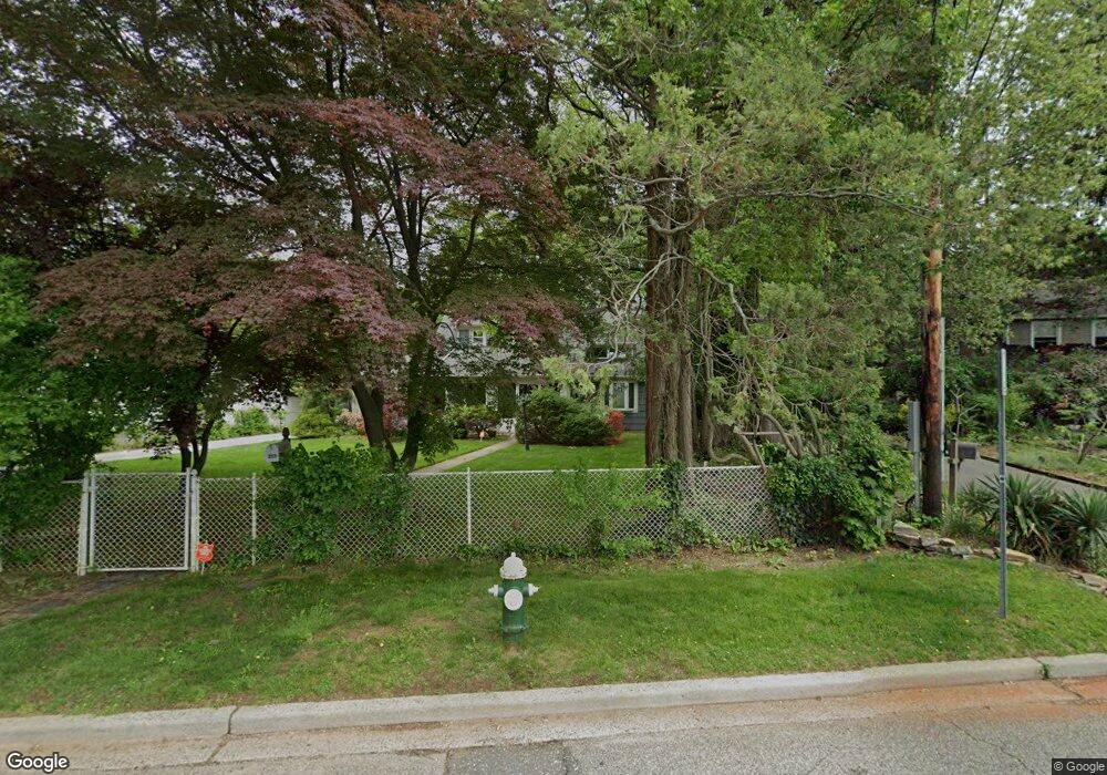
227 Locust St West Hempstead, NY 11552
Estimated Value: $969,331 - $1,126,000
--
Bed
3
Baths
2,454
Sq Ft
$427/Sq Ft
Est. Value
About This Home
This home is located at 227 Locust St, West Hempstead, NY 11552 and is currently estimated at $1,047,666, approximately $426 per square foot. 227 Locust St is a home located in Nassau County with nearby schools including Chestnut Street School, West Hempstead Middle School, and West Hempstead Secondary School.
Ownership History
Date
Name
Owned For
Owner Type
Purchase Details
Closed on
Nov 28, 1995
Sold by
Appel Brian and Appel Doreen
Bought by
Bressler Howard and Bressler Diane
Current Estimated Value
Home Financials for this Owner
Home Financials are based on the most recent Mortgage that was taken out on this home.
Original Mortgage
$198,500
Outstanding Balance
$4,085
Interest Rate
7.43%
Mortgage Type
Purchase Money Mortgage
Estimated Equity
$1,043,581
Create a Home Valuation Report for This Property
The Home Valuation Report is an in-depth analysis detailing your home's value as well as a comparison with similar homes in the area
Home Values in the Area
Average Home Value in this Area
Purchase History
| Date | Buyer | Sale Price | Title Company |
|---|---|---|---|
| Bressler Howard | $248,500 | -- | |
| Bressler Howard | $248,500 | -- |
Source: Public Records
Mortgage History
| Date | Status | Borrower | Loan Amount |
|---|---|---|---|
| Open | Bressler Howard | $198,500 | |
| Closed | Bressler Howard | $198,500 |
Source: Public Records
Tax History Compared to Growth
Tax History
| Year | Tax Paid | Tax Assessment Tax Assessment Total Assessment is a certain percentage of the fair market value that is determined by local assessors to be the total taxable value of land and additions on the property. | Land | Improvement |
|---|---|---|---|---|
| 2025 | $17,332 | $608 | $369 | $239 |
| 2024 | $5,202 | $613 | $372 | $241 |
| 2023 | $14,686 | $640 | $388 | $252 |
| 2022 | $14,686 | $640 | $388 | $252 |
| 2021 | $17,646 | $617 | $349 | $268 |
| 2020 | $10,903 | $599 | $586 | $13 |
| 2019 | $11,009 | $642 | $589 | $53 |
| 2018 | $9,807 | $685 | $0 | $0 |
| 2017 | $5,817 | $673 | $594 | $79 |
| 2016 | $9,178 | $712 | $486 | $226 |
| 2015 | $3,502 | $752 | $457 | $295 |
| 2014 | $3,502 | $752 | $457 | $295 |
| 2013 | $4,012 | $920 | $560 | $360 |
Source: Public Records
Map
Nearby Homes
- 490 Walton Ct
- 467 Susan Ct
- 231 Wilson St
- 400 Langley Ave
- 537 Madison Ave
- 268 Spruce St
- 352 Hempstead Ave
- 613 Adams Ave
- 234 Sycamore St
- 635 Hempstead Ave
- 670 Hempstead Ave
- 517 Birch St
- 402 Maple St
- 106 Sycamore St
- 19 Richard St
- 306 Garfield Ave
- 72 Spruce St
- 23 Rhoda St
- 513 Washington Ave
- 757 Harrison St
- 239 Locust St
- 223 Locust St
- 233 Locust St
- 232 Locust St
- 245 Locust St
- 478 Hempstead Ave
- 226 Locust St
- 246 Locust St
- 482 Hempstead Ave Unit 1
- 482 Hempstead Ave
- 255 Locust St
- 255 Locust St
- 216 Locust St
- 250 Locust St
- 460 Hempstead Ave
- 463 Lisa Ct
- 460 Lisa Ct
- 261 Locust St
- 466 Locust Terrace
- 453 Locust Terrace