227 Maple St Cassville, PA 16623
Estimated Value: $125,000 - $164,000
3
Beds
--
Bath
925
Sq Ft
$160/Sq Ft
Est. Value
About This Home
This home is located at 227 Maple St, Cassville, PA 16623 and is currently estimated at $148,000, approximately $160 per square foot. 227 Maple St is a home with nearby schools including Southern Huntingdon County High School/Middle School.
Ownership History
Date
Name
Owned For
Owner Type
Purchase Details
Closed on
Oct 9, 2017
Sold by
Berrier Joshua R and Berrier Margie S
Bought by
Smith Austin Taylor Blood and Wright Kayla B
Current Estimated Value
Home Financials for this Owner
Home Financials are based on the most recent Mortgage that was taken out on this home.
Original Mortgage
$129,200
Outstanding Balance
$107,775
Interest Rate
3.86%
Mortgage Type
New Conventional
Estimated Equity
$40,225
Purchase Details
Closed on
Oct 8, 2009
Sold by
Price Margie S and Berrier Margie S
Bought by
Berrier Joshua R and Berrier Margie S
Home Financials for this Owner
Home Financials are based on the most recent Mortgage that was taken out on this home.
Original Mortgage
$88,000
Interest Rate
5.14%
Mortgage Type
Purchase Money Mortgage
Purchase Details
Closed on
May 28, 2006
Sold by
Nead Maxine
Bought by
Neade Dennsi W and Bension Jo A
Create a Home Valuation Report for This Property
The Home Valuation Report is an in-depth analysis detailing your home's value as well as a comparison with similar homes in the area
Home Values in the Area
Average Home Value in this Area
Purchase History
| Date | Buyer | Sale Price | Title Company |
|---|---|---|---|
| Smith Austin Taylor Blood | $136,000 | None Available | |
| Berrier Joshua R | -- | None Available | |
| Neade Dennsi W | -- | None Available |
Source: Public Records
Mortgage History
| Date | Status | Borrower | Loan Amount |
|---|---|---|---|
| Open | Smith Austin Taylor Blood | $129,200 | |
| Previous Owner | Berrier Joshua R | $88,000 |
Source: Public Records
Tax History Compared to Growth
Tax History
| Year | Tax Paid | Tax Assessment Tax Assessment Total Assessment is a certain percentage of the fair market value that is determined by local assessors to be the total taxable value of land and additions on the property. | Land | Improvement |
|---|---|---|---|---|
| 2025 | $1,329 | $17,440 | $1,680 | $15,760 |
| 2024 | $1,285 | $17,440 | $1,680 | $15,760 |
| 2023 | $1,190 | $17,440 | $1,680 | $15,760 |
| 2022 | $1,197 | $17,440 | $1,680 | $15,760 |
| 2021 | $1,197 | $17,440 | $1,680 | $15,760 |
| 2020 | $1,197 | $17,440 | $1,680 | $15,760 |
| 2019 | $1,114 | $17,440 | $1,680 | $15,760 |
| 2018 | $1,114 | $17,440 | $1,680 | $15,760 |
| 2017 | $1,114 | $17,440 | $1,680 | $15,760 |
| 2016 | $1,066 | $17,440 | $1,680 | $15,760 |
| 2015 | $1,066 | $17,440 | $1,680 | $15,760 |
| 2014 | -- | $17,440 | $1,680 | $15,760 |
Source: Public Records
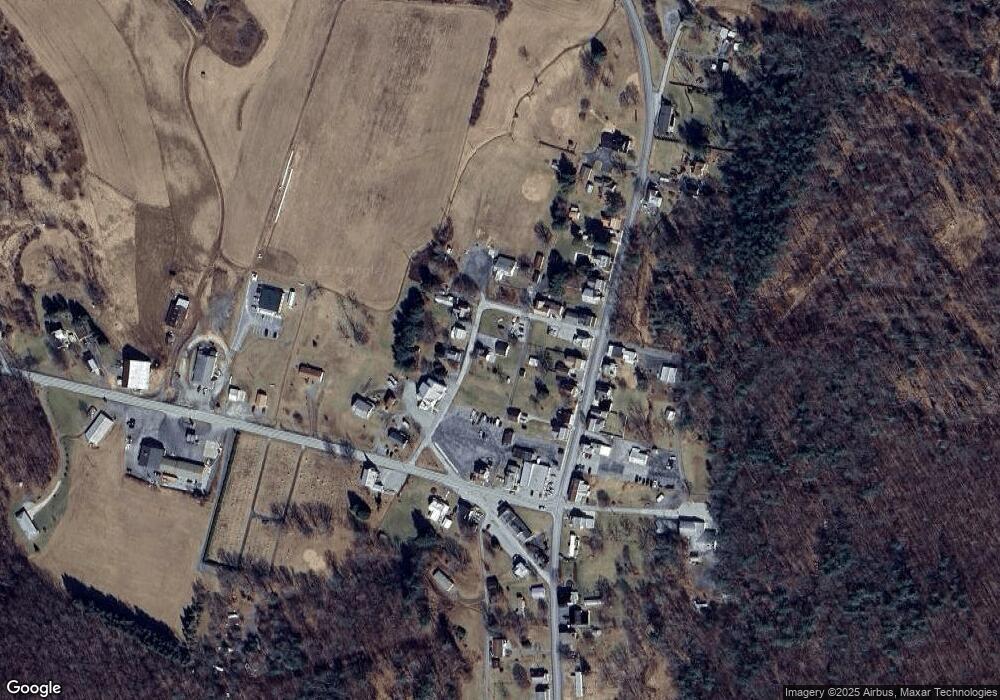
Map
Nearby Homes
- 263 Water St
- 105 Water St
- 000 Walnut St
- 0 Walnut St
- 540 Walnut St
- 17594 Trough Creek Valley Pike
- 17629 Shirleys Knob Rd
- 19098 Smith Valley Rd
- 16938 Hares Valley Rd
- 0 Heights Rd
- 15519 Sportsman Club Rd
- 15793 Orchard Rd
- 15787 Whispering Pines Ln
- 7574 Mount View Dr
- 7241 Morgans Rd
- 000 Leidig Rd
- 17918 Hemlock Ridge Rd
- 20526 Laurel Mountain Rd
- 18115 Carothers Run Rd
- 6721 Old Plank Rd