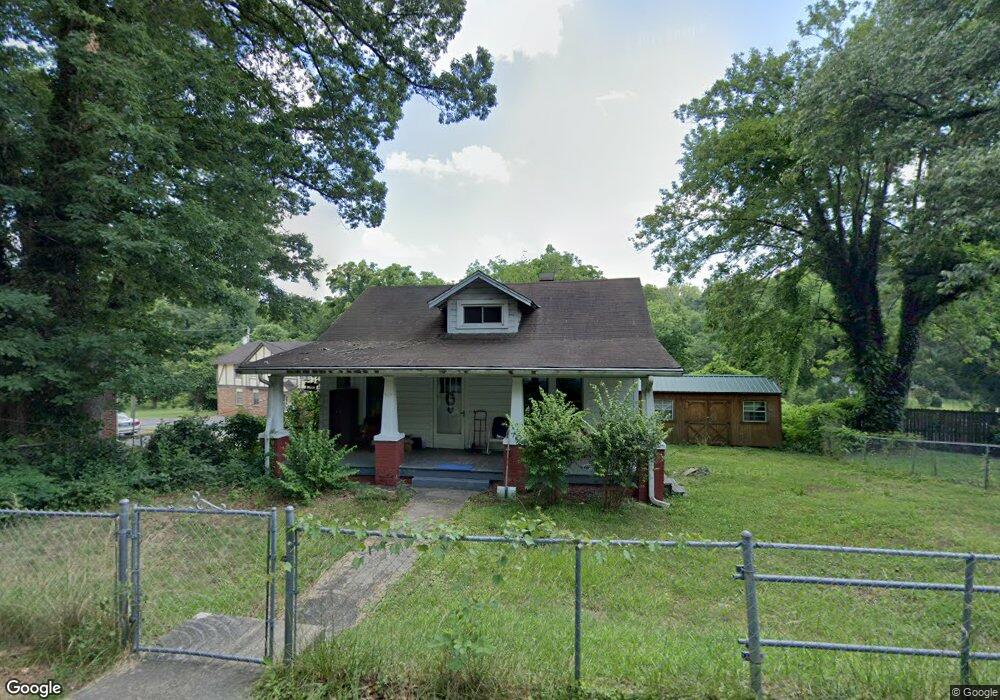
227 N Anderson St Morganton, NC 28655
Estimated Value: $181,000 - $221,356
2
Beds
1
Bath
1,350
Sq Ft
$145/Sq Ft
Est. Value
About This Home
This home is located at 227 N Anderson St, Morganton, NC 28655 and is currently estimated at $195,339, approximately $144 per square foot. 227 N Anderson St is a home located in Burke County with nearby schools including Forest Hill Elementary School, Walter R. Johnson Middle School, and Robert L. Patton High School.
Ownership History
Date
Name
Owned For
Owner Type
Purchase Details
Closed on
May 29, 2025
Sold by
Baker Joshua and Baker Heather
Bought by
Waters Joseph David and Waters Kirsten
Current Estimated Value
Home Financials for this Owner
Home Financials are based on the most recent Mortgage that was taken out on this home.
Original Mortgage
$144,000
Outstanding Balance
$142,511
Interest Rate
6.03%
Mortgage Type
New Conventional
Estimated Equity
$52,828
Create a Home Valuation Report for This Property
The Home Valuation Report is an in-depth analysis detailing your home's value as well as a comparison with similar homes in the area
Home Values in the Area
Average Home Value in this Area
Purchase History
| Date | Buyer | Sale Price | Title Company |
|---|---|---|---|
| Waters Joseph David | $180,000 | None Listed On Document | |
| Waters Joseph David | $180,000 | None Listed On Document |
Source: Public Records
Mortgage History
| Date | Status | Borrower | Loan Amount |
|---|---|---|---|
| Open | Waters Joseph David | $144,000 | |
| Closed | Waters Joseph David | $144,000 |
Source: Public Records
Tax History Compared to Growth
Tax History
| Year | Tax Paid | Tax Assessment Tax Assessment Total Assessment is a certain percentage of the fair market value that is determined by local assessors to be the total taxable value of land and additions on the property. | Land | Improvement |
|---|---|---|---|---|
| 2025 | $1,044 | $169,903 | $42,630 | $127,273 |
| 2024 | $1,049 | $170,673 | $42,630 | $128,043 |
| 2023 | $1,044 | $170,673 | $42,630 | $128,043 |
| 2022 | $641 | $80,484 | $23,520 | $56,964 |
| 2021 | $635 | $80,484 | $23,520 | $56,964 |
| 2020 | $631 | $80,484 | $23,520 | $56,964 |
| 2019 | $631 | $80,484 | $23,520 | $56,964 |
| 2018 | $628 | $79,958 | $23,520 | $56,438 |
| 2017 | $626 | $79,958 | $23,520 | $56,438 |
| 2016 | $609 | $79,958 | $23,520 | $56,438 |
| 2015 | $606 | $79,958 | $23,520 | $56,438 |
| 2014 | $604 | $79,958 | $23,520 | $56,438 |
| 2013 | $604 | $79,958 | $23,520 | $56,438 |
Source: Public Records
Map
Nearby Homes
- 218 Davis Dr
- 214 Howard St
- 212 Riverside Dr
- 231 Davis Dr
- 311 W Union St
- 107 Burkemont Ave
- 118 W Union St Unit A
- 710 Bouchelle St
- 115 Riverside Ct
- 00 S Anderson St
- 0 N Green St
- 115 Kinwood St
- 203 Beacon Ave
- 300 Patton St
- 112A Wesley Dr Unit B
- 404 Patton St
- 220 W Park Dr
- 302 White St
- 213 W Park Dr
- 113 Falls St
- 229 N Anderson St
- 226 N Anderson St
- 231 N Anderson St
- 211 N Anderson St
- 232 N Anderson St
- 108 Hawthorn Ln
- 222 N Anderson St
- 106 Hawthorn Ln
- 233 N Anderson St
- 234 N Anderson St
- 110 Hawthorn Ln
- 209 N Anderson St
- 104 Hawthorn Ln
- 220 N Anderson St
- 235 N Anderson St
- 207 N Anderson St
- 103 Hawthorn Ln
- 236 N Anderson St
- 218 N Anderson St
- 237 N Anderson St