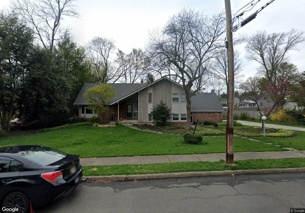
227 Nicholson Dr Moorestown, NJ 08057
Estimated Value: $863,818 - $969,000
--
Bed
--
Bath
2,924
Sq Ft
$313/Sq Ft
Est. Value
About This Home
This home is located at 227 Nicholson Dr, Moorestown, NJ 08057 and is currently estimated at $914,705, approximately $312 per square foot. 227 Nicholson Dr is a home located in Burlington County with nearby schools including South Valley Elementary School, Moorestown Upper Elementary School, and William Allen Middle School.
Ownership History
Date
Name
Owned For
Owner Type
Purchase Details
Closed on
Jul 24, 2006
Sold by
Brachfeld Jonas and Brachfeld Rosalind
Bought by
Hoover John and Hoover Celeste A
Current Estimated Value
Home Financials for this Owner
Home Financials are based on the most recent Mortgage that was taken out on this home.
Original Mortgage
$200,000
Outstanding Balance
$118,866
Interest Rate
6.67%
Mortgage Type
Purchase Money Mortgage
Estimated Equity
$795,839
Create a Home Valuation Report for This Property
The Home Valuation Report is an in-depth analysis detailing your home's value as well as a comparison with similar homes in the area
Home Values in the Area
Average Home Value in this Area
Purchase History
| Date | Buyer | Sale Price | Title Company |
|---|---|---|---|
| Hoover John | $500,000 | None Available |
Source: Public Records
Mortgage History
| Date | Status | Borrower | Loan Amount |
|---|---|---|---|
| Open | Hoover John | $200,000 |
Source: Public Records
Tax History Compared to Growth
Tax History
| Year | Tax Paid | Tax Assessment Tax Assessment Total Assessment is a certain percentage of the fair market value that is determined by local assessors to be the total taxable value of land and additions on the property. | Land | Improvement |
|---|---|---|---|---|
| 2025 | $11,774 | $415,000 | $186,300 | $228,700 |
| 2024 | $11,417 | $415,000 | $186,300 | $228,700 |
| 2023 | $11,417 | $415,000 | $186,300 | $228,700 |
| 2022 | $11,300 | $415,000 | $186,300 | $228,700 |
| 2021 | $11,151 | $415,000 | $186,300 | $228,700 |
| 2020 | $11,081 | $415,000 | $186,300 | $228,700 |
| 2019 | $10,885 | $415,000 | $186,300 | $228,700 |
| 2018 | $10,591 | $415,000 | $186,300 | $228,700 |
| 2017 | $10,682 | $415,000 | $186,300 | $228,700 |
| 2016 | $10,645 | $415,000 | $186,300 | $228,700 |
| 2015 | $10,516 | $415,000 | $186,300 | $228,700 |
| 2014 | $9,985 | $415,000 | $186,300 | $228,700 |
Source: Public Records
Map
Nearby Homes
- 308 Elm St
- 278 Linden St Unit 278
- 133 Plum St Unit 6
- 205 E Central Ave
- 201 Laurence Dr
- 408 N Stanwick Rd
- 408 E 2nd St
- 80 E 3rd St
- 82 E 3rd St
- 50 E 3rd St
- 514 E Main St
- 526 E Main St
- 15 E 2nd St
- 8 E Oak Ave
- 8 Collins Mill Ct
- 5 Collins Mill Ct
- 453 Windrow Clusters Dr Unit 19
- 629 E Main St
- 471 Windrow Clusters Dr Unit 23
- 633 E Main St Unit B7
- 223 Nicholson Dr
- 245 Nicholson Dr
- 230 Eastbourne Terrace
- 226 Eastbourne Terrace
- 222 Eastbourne Terrace
- 125 Curtis Ln
- 130 Curtis Ln
- 219 Nicholson Dr
- 222 Nicholson Dr
- 201 Nicholson Dr
- 229 Eastbourne Terrace
- 242 Nicholson Dr
- 218 Nicholson Dr
- 225 Eastbourne Terrace
- 238 Nicholson Dr
- 230 Nicholson Dr
- 233 Eastbourne Terrace
- 246 Nicholson Dr
- 110 Curtis Ln
- 221 Eastbourne Terrace