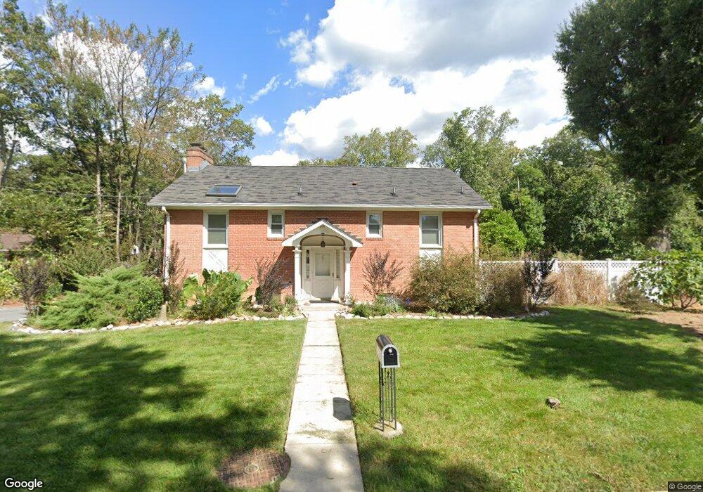
227 Patuxent Rd Laurel, MD 20707
Estimated Value: $450,000 - $534,000
Studio
3
Baths
1,218
Sq Ft
$416/Sq Ft
Est. Value
About This Home
This home is located at 227 Patuxent Rd, Laurel, MD 20707 and is currently estimated at $506,852, approximately $416 per square foot. 227 Patuxent Rd is a home located in Prince George's County with nearby schools including Scotchtown Hills Elementary School, Dwight D. Eisenhower Middle School, and Laurel High School.
Ownership History
Date
Name
Owned For
Owner Type
Purchase Details
Closed on
Jul 28, 2020
Sold by
Kyritsopoulos Athanasios and Kyritsopoulos Heather Layla
Bought by
Kyritsopoulos Athanasios
Current Estimated Value
Purchase Details
Closed on
Sep 14, 2004
Sold by
Clayton Marc A
Bought by
Kyritsopoulos Athanasios
Purchase Details
Closed on
Jun 4, 1997
Sold by
Trower William R
Bought by
Clayton Marc A and Clayton Mary S
Create a Home Valuation Report for This Property
The Home Valuation Report is an in-depth analysis detailing your home's value as well as a comparison with similar homes in the area
Home Values in the Area
Average Home Value in this Area
Purchase History
| Date | Buyer | Sale Price | Title Company |
|---|---|---|---|
| Kyritsopoulos Athanasios | -- | Accommodation | |
| Kyritsopoulos Athanasios | $352,000 | -- | |
| Clayton Marc A | $220,000 | -- |
Source: Public Records
Tax History
| Year | Tax Paid | Tax Assessment Tax Assessment Total Assessment is a certain percentage of the fair market value that is determined by local assessors to be the total taxable value of land and additions on the property. | Land | Improvement |
|---|---|---|---|---|
| 2025 | $7,582 | $474,700 | $137,700 | $337,000 |
| 2024 | $7,582 | $449,167 | -- | -- |
| 2023 | $7,202 | $423,633 | $0 | $0 |
| 2022 | $6,565 | $398,100 | $152,700 | $245,400 |
| 2021 | $7,340 | $391,567 | $0 | $0 |
| 2020 | $6,850 | $385,033 | $0 | $0 |
| 2019 | $7,415 | $378,500 | $151,300 | $227,200 |
| 2018 | $5,230 | $365,233 | $0 | $0 |
| 2017 | $5,834 | $351,967 | $0 | $0 |
| 2016 | -- | $338,700 | $0 | $0 |
| 2015 | -- | $335,300 | $0 | $0 |
| 2014 | $5,203 | $331,900 | $0 | $0 |
Source: Public Records
Map
Nearby Homes
- 9425 Fairview Ave
- 1103 Montgomery St
- 9429 Fairview Ave
- 9437 Fairview Ave
- 910 Montgomery St Unit A
- 1211 Snowden Place
- 916 Philip Powers Dr
- 1116 Westview Terrace
- 504 9th St
- 9401 Riverbrink Ct
- 501 8th St
- 610 Main St Unit 413
- 8040 Sandy Spring Rd
- 505A Montgomery St
- 19 Post Office Ave Unit 203
- 903 Montrose Ave
- 413 Talbott Ave
- 9318 Sydney Way
- 9881 Lyon Ave
- 1019 Marton St
Your Personal Tour Guide
Ask me questions while you tour the home.