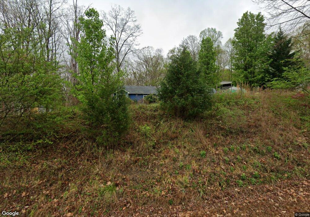
227 Pilot Ridge Dr Unit B Lewisville, NC 27023
Estimated Value: $413,000 - $538,000
2
Beds
1
Bath
1,125
Sq Ft
$402/Sq Ft
Est. Value
About This Home
This home is located at 227 Pilot Ridge Dr Unit B, Lewisville, NC 27023 and is currently estimated at $451,710, approximately $401 per square foot. 227 Pilot Ridge Dr Unit B is a home located in Forsyth County with nearby schools including Lewisville Elementary School, Meadowlark Middle School, and Ronald W. Reagan High School.
Ownership History
Date
Name
Owned For
Owner Type
Purchase Details
Closed on
Nov 6, 2015
Sold by
Norris Lynn Y
Bought by
Schaeffer Justin Richard and Schaeffer Michelle Yvonne
Current Estimated Value
Home Financials for this Owner
Home Financials are based on the most recent Mortgage that was taken out on this home.
Original Mortgage
$196,278
Outstanding Balance
$153,053
Interest Rate
3.62%
Mortgage Type
FHA
Estimated Equity
$298,657
Purchase Details
Closed on
Oct 13, 1993
Bought by
Norris
Create a Home Valuation Report for This Property
The Home Valuation Report is an in-depth analysis detailing your home's value as well as a comparison with similar homes in the area
Home Values in the Area
Average Home Value in this Area
Purchase History
| Date | Buyer | Sale Price | Title Company |
|---|---|---|---|
| Schaeffer Justin Richard | $200,000 | None Available | |
| Norris | -- | -- |
Source: Public Records
Mortgage History
| Date | Status | Borrower | Loan Amount |
|---|---|---|---|
| Open | Schaeffer Justin Richard | $196,278 |
Source: Public Records
Tax History Compared to Growth
Tax History
| Year | Tax Paid | Tax Assessment Tax Assessment Total Assessment is a certain percentage of the fair market value that is determined by local assessors to be the total taxable value of land and additions on the property. | Land | Improvement |
|---|---|---|---|---|
| 2025 | $1,614 | $370,200 | $49,100 | $321,100 |
| 2024 | $1,604 | $209,200 | $31,100 | $178,100 |
| 2023 | $1,604 | $209,200 | $31,100 | $178,100 |
| 2022 | $1,604 | $209,200 | $31,100 | $178,100 |
| 2021 | $1,593 | $209,200 | $31,100 | $178,100 |
| 2020 | $1,618 | $194,800 | $28,200 | $166,600 |
| 2019 | $1,638 | $194,800 | $28,200 | $166,600 |
| 2018 | $1,572 | $194,800 | $28,200 | $166,600 |
| 2016 | $1,173 | $144,583 | $33,276 | $111,307 |
| 2015 | $1,173 | $144,583 | $33,276 | $111,307 |
| 2014 | $1,149 | $144,583 | $33,276 | $111,307 |
Source: Public Records
Map
Nearby Homes
- 9363 Eden Grove Ct
- 9340 Eden Grove Ct
- 9447 Lissara Camp Ct
- 9349 Lissara Camp Ct
- 9652 Lissara Camp Ct
- 9427 Lissara Camp Ct
- 9658 Lissara Camp Ct
- 9190 Top Ridge Ct
- 9109 Top Ridge Ct
- 9161 Crossgar Terrace Ct
- 9631 Lissara Camp Ct
- 9664 Lissara Camp Ct
- 814 Montrachet Ct
- 9687 Lissara Camp Ct
- 834 Montrachet Ct
- Roller Mill Plan at Montrachet
- Roller Mill II Plan at Montrachet
- Oak Crest Plan at Montrachet
- Heritage Bridge Plan at Montrachet
- 1287 Creek Knoll Dr
- 227 Pilot Ridge Dr
- 7691 Scarlet Ln
- 249 Pilot Ridge Dr
- 250 Pilot Ridge Dr
- 201 Pilot Ridge Dr
- 210 Pilot Ridge Dr
- 7689 Scarlet Ln
- 9310 Lissara Camp Ct
- 341 Pilot Ridge Dr
- 175 Pilot Ridge Dr
- 172 Pilot Ridge Dr
- 172 Pilotridge Dr
- 9382 Eden Grove Ct
- 9390 Eden Grove Ct
- 9370 Lissara Camp Ct
- 9374 Eden Grove Ct
- 347 Pilot Ridge Dr
- 141 Pilot Ridge Dr
- 9366 Eden Grove Ct
- 9390 Lissara Camp Ct