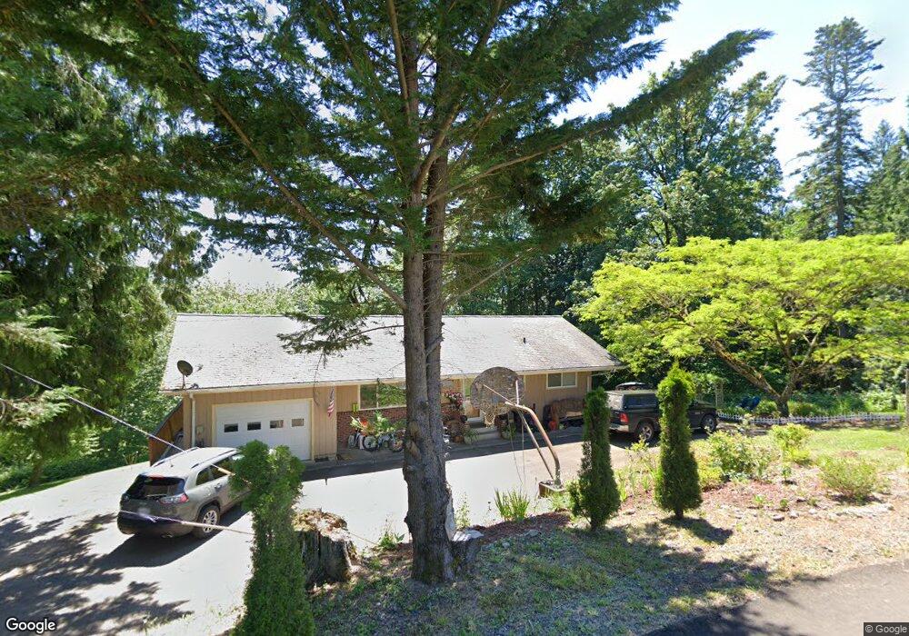
227 Sandy Bend Rd Castle Rock, WA 98611
Estimated Value: $460,683 - $542,000
4
Beds
2
Baths
2,512
Sq Ft
$201/Sq Ft
Est. Value
About This Home
This home is located at 227 Sandy Bend Rd, Castle Rock, WA 98611 and is currently estimated at $504,671, approximately $200 per square foot. 227 Sandy Bend Rd is a home located in Cowlitz County with nearby schools including Castle Rock Elementary School, Castle Rock Middle School, and Castle Rock High School.
Ownership History
Date
Name
Owned For
Owner Type
Purchase Details
Closed on
Sep 6, 2016
Sold by
Ledford David C and Ledford Nadine H
Bought by
Ledford Christopher M and Ledford Lindsay N
Current Estimated Value
Home Financials for this Owner
Home Financials are based on the most recent Mortgage that was taken out on this home.
Original Mortgage
$227,000
Interest Rate
3.48%
Mortgage Type
New Conventional
Create a Home Valuation Report for This Property
The Home Valuation Report is an in-depth analysis detailing your home's value as well as a comparison with similar homes in the area
Home Values in the Area
Average Home Value in this Area
Purchase History
| Date | Buyer | Sale Price | Title Company |
|---|---|---|---|
| Ledford Christopher M | $277,000 | Stewart Title Cowlitz County |
Source: Public Records
Mortgage History
| Date | Status | Borrower | Loan Amount |
|---|---|---|---|
| Previous Owner | Ledford Christopher M | $227,000 |
Source: Public Records
Tax History Compared to Growth
Tax History
| Year | Tax Paid | Tax Assessment Tax Assessment Total Assessment is a certain percentage of the fair market value that is determined by local assessors to be the total taxable value of land and additions on the property. | Land | Improvement |
|---|---|---|---|---|
| 2024 | $3,621 | $431,780 | $52,430 | $379,350 |
| 2023 | $3,704 | $465,320 | $52,430 | $412,890 |
| 2022 | $2,803 | $409,590 | $52,430 | $357,160 |
| 2021 | $2,489 | $312,430 | $52,430 | $260,000 |
| 2020 | $2,800 | $269,220 | $45,590 | $223,630 |
| 2019 | $2,372 | $314,596 | $44,723 | $269,873 |
| 2018 | $2,579 | $262,360 | $44,720 | $217,640 |
| 2017 | $2,102 | $246,850 | $42,590 | $204,260 |
| 2016 | $1,851 | $203,030 | $40,570 | $162,460 |
| 2015 | $1,812 | $191,980 | $40,570 | $151,410 |
| 2013 | -- | $164,790 | $38,710 | $126,080 |
Source: Public Records
Map
Nearby Homes
- 4630 Pleasant Hill Rd
- 4339 Pleasant Hill Rd
- 4335 Pleasant Hill Rd
- 2601 Westside Hwy
- 410 Hicks Rd
- 3820 Westside Hwy
- 152 Sakari Ln
- 1830 Hazel Dell Rd Unit Lot 3
- 1830 Hazel Dell Rd Unit Lot 4
- 1830 Hazel Dell Rd Unit Lot 2
- 1830 Hazel Dell Rd Unit Lot 1
- 3220 Pacific Ave N
- 107 Guinevere Ct
- 6609 Westside Hwy
- 0 Nob Ln
- 0 Huntington Ave S Unit NWM2336096
- 100 Thimbleberry Dr
- 1020 3rd Ave SW
- 1965 Westside Hwy Unit 74
- 3600 Pleasant Hill Rd
- 235 Sandy Bend Rd
- 105 Sandy Bend Place
- 108 Sandy Bend Place
- 0 Sandy Bend Place
- 317 Sandy Bend Rd
- 246 Sandy Bend Rd
- 215 Sandy Bend Place
- 120 Sandy Bend Rd
- 3323 Westside Hwy
- 114 Sandy Bend Rd
- 327 Sandy Bend Rd
- 3210 Westside Hwy
- 357 Sandy Bend Rd
- 3222 Westside Hwy
- 400 Sandy Bend Rd
- 3312 Westside Hwy
- 3310 Westside Hwy
- 3131 Westside Hwy
- 399 Sandy Bend Rd
- 3320 Westside Hwy