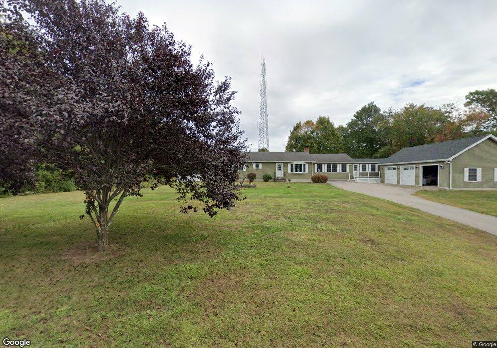
227 Taylor Rd Colchester, CT 06415
Estimated Value: $410,000 - $520,000
3
Beds
2
Baths
2,028
Sq Ft
$223/Sq Ft
Est. Value
About This Home
This home is located at 227 Taylor Rd, Colchester, CT 06415 and is currently estimated at $452,746, approximately $223 per square foot. 227 Taylor Rd is a home located in New London County with nearby schools including Colchester Elementary School, Jack Jackter Intermediate School, and William J. Johnston Middle School.
Ownership History
Date
Name
Owned For
Owner Type
Purchase Details
Closed on
Oct 21, 2011
Sold by
Marino Catherine B
Bought by
Marino Catherine B and Marino Sebastiano
Current Estimated Value
Purchase Details
Closed on
Dec 15, 2003
Sold by
Korczak Anthony
Bought by
Brink Catherine
Home Financials for this Owner
Home Financials are based on the most recent Mortgage that was taken out on this home.
Original Mortgage
$155,000
Interest Rate
5.9%
Purchase Details
Closed on
Apr 23, 1991
Sold by
Christian Michael and Christian Heather
Bought by
Sanderson William and Sanderson Romaine
Create a Home Valuation Report for This Property
The Home Valuation Report is an in-depth analysis detailing your home's value as well as a comparison with similar homes in the area
Home Values in the Area
Average Home Value in this Area
Purchase History
| Date | Buyer | Sale Price | Title Company |
|---|---|---|---|
| Marino Catherine B | -- | -- | |
| Brink Catherine | $175,000 | -- | |
| Sanderson William | $135,500 | -- |
Source: Public Records
Mortgage History
| Date | Status | Borrower | Loan Amount |
|---|---|---|---|
| Previous Owner | Sanderson William | $173,000 | |
| Previous Owner | Sanderson William | $25,000 | |
| Previous Owner | Sanderson William | $51,378 | |
| Previous Owner | Sanderson William | $155,000 |
Source: Public Records
Tax History Compared to Growth
Tax History
| Year | Tax Paid | Tax Assessment Tax Assessment Total Assessment is a certain percentage of the fair market value that is determined by local assessors to be the total taxable value of land and additions on the property. | Land | Improvement |
|---|---|---|---|---|
| 2025 | $7,782 | $260,100 | $43,900 | $216,200 |
| 2024 | $7,457 | $260,100 | $43,900 | $216,200 |
| 2023 | $7,080 | $260,100 | $43,900 | $216,200 |
| 2022 | $7,044 | $260,100 | $43,900 | $216,200 |
| 2021 | $5,974 | $181,900 | $47,000 | $134,900 |
| 2020 | $5,974 | $181,900 | $47,000 | $134,900 |
| 2019 | $5,941 | $180,900 | $47,000 | $133,900 |
| 2018 | $5,839 | $180,900 | $47,000 | $133,900 |
| 2017 | $5,856 | $180,900 | $47,000 | $133,900 |
| 2016 | $5,691 | $184,100 | $63,700 | $120,400 |
| 2015 | $5,663 | $184,100 | $63,700 | $120,400 |
| 2014 | $5,200 | $170,100 | $63,700 | $106,400 |
Source: Public Records
Map
Nearby Homes
- 20 Oconnell Rd
- 223 Taylor Rd
- 34 Oconnell Rd
- 68 Hall Kilbourne Rd
- 226 Taylor Rd
- 22 Oconnell Rd
- 16 O'Connell Rd
- 224 Taylor Rd
- 26 Oconnell Rd
- 18 O'Connell Rd
- 24 O'Connell Rd
- 24 Alexander Rd
- 24 Millington Rd
- 219 Taylor Rd
- 26 Millington Rd
- 218 Taylor Rd
- 28 Oconnell Rd
- 87 Oconnell Rd
- 16 Hi Lea Farm Rd
- 217 Taylor Rd