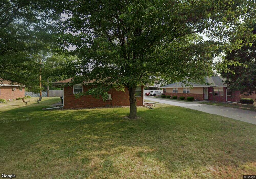
227 W Bond St Morton, IL 61550
Estimated Value: $201,000 - $217,000
4
Beds
2
Baths
1,719
Sq Ft
$120/Sq Ft
Est. Value
About This Home
This home is located at 227 W Bond St, Morton, IL 61550 and is currently estimated at $206,020, approximately $119 per square foot. 227 W Bond St is a home located in Tazewell County with nearby schools including Morton High School, Blessed Sacrament School, and Bethel Lutheran School.
Ownership History
Date
Name
Owned For
Owner Type
Purchase Details
Closed on
Oct 26, 2017
Sold by
Mcgowan Henry D and Mcgowan Jacqueline A
Bought by
Phillips Richard L and Phillips Angela K
Current Estimated Value
Home Financials for this Owner
Home Financials are based on the most recent Mortgage that was taken out on this home.
Original Mortgage
$133,601
Interest Rate
4.5%
Mortgage Type
New Conventional
Purchase Details
Closed on
Sep 10, 2013
Sold by
Mcgowan Henry D and Mcgowan Jacqueline A
Bought by
Mcgowan Henry D and Henry & Jacqueline Mcgowan Joint Living
Create a Home Valuation Report for This Property
The Home Valuation Report is an in-depth analysis detailing your home's value as well as a comparison with similar homes in the area
Home Values in the Area
Average Home Value in this Area
Purchase History
| Date | Buyer | Sale Price | Title Company |
|---|---|---|---|
| Phillips Richard L | $136,000 | -- | |
| Mcgowan Henry D | -- | None Available |
Source: Public Records
Mortgage History
| Date | Status | Borrower | Loan Amount |
|---|---|---|---|
| Previous Owner | Phillips Richard L | $133,601 |
Source: Public Records
Tax History Compared to Growth
Tax History
| Year | Tax Paid | Tax Assessment Tax Assessment Total Assessment is a certain percentage of the fair market value that is determined by local assessors to be the total taxable value of land and additions on the property. | Land | Improvement |
|---|---|---|---|---|
| 2024 | $3,812 | $55,800 | $7,890 | $47,910 |
| 2023 | $3,812 | $51,980 | $7,350 | $44,630 |
| 2022 | $3,687 | $47,740 | $6,750 | $40,990 |
| 2021 | $3,546 | $45,900 | $6,490 | $39,410 |
| 2020 | $3,438 | $45,450 | $6,430 | $39,020 |
| 2019 | $3,428 | $45,450 | $6,430 | $39,020 |
| 2018 | $3,366 | $45,450 | $6,430 | $39,020 |
| 2017 | $3,279 | $43,350 | $6,140 | $37,210 |
| 2016 | $3,216 | $43,350 | $6,140 | $37,210 |
| 2015 | $3,105 | $0 | $0 | $0 |
| 2013 | $3,074 | $43,350 | $6,140 | $37,210 |
Source: Public Records
Map
Nearby Homes
- 118 S Liberty Ave
- 452 N Bauman Ave
- 329 S Nelson Ave
- 512 N Main St
- 504 S Glen Ave
- 328 N 3rd Ave
- 121 Jay Ave
- 218 N Fourth Ave
- 505 E Tyler St
- 315 E Birchwood St
- 600 S Columbus Ave
- 501-503 Pierce St
- 507 E Adams St
- 210 E Crestwood St
- 26 Jasper Ct
- 129 N Indiana Ave
- 120 N Indiana Ave
- 430 N Montana Ave
- 749 S Columbus Ave
- 754 Taylor St