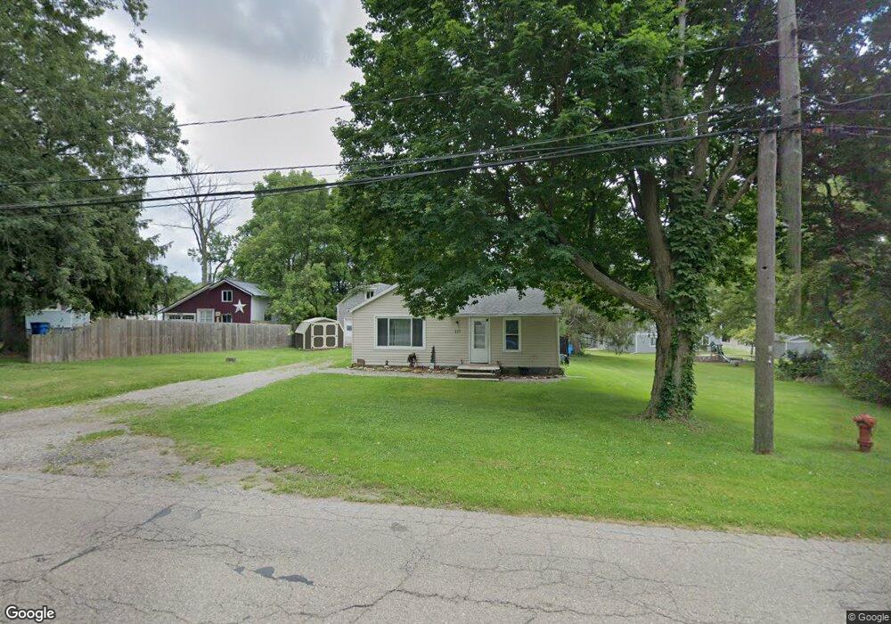
227 W Main St Addison, MI 49220
Estimated Value: $96,000 - $132,000
2
Beds
1
Bath
855
Sq Ft
$133/Sq Ft
Est. Value
About This Home
This home is located at 227 W Main St, Addison, MI 49220 and is currently estimated at $114,000, approximately $133 per square foot. 227 W Main St is a home located in Lenawee County with nearby schools including Addison Elementary School, Addison Middle School, and Addison High School.
Ownership History
Date
Name
Owned For
Owner Type
Purchase Details
Closed on
Aug 15, 2007
Sold by
Kaybank Na
Bought by
Groesbeck Christopher L
Current Estimated Value
Home Financials for this Owner
Home Financials are based on the most recent Mortgage that was taken out on this home.
Original Mortgage
$35,080
Outstanding Balance
$22,268
Interest Rate
6.71%
Mortgage Type
FHA
Estimated Equity
$91,732
Purchase Details
Closed on
Jul 18, 2006
Sold by
Mortgage Electronic Registration Systems
Bought by
Keybank National Assn
Purchase Details
Closed on
Jul 13, 2006
Sold by
Sroufe Doris K
Bought by
Mortgage Electronic Registration Systems
Create a Home Valuation Report for This Property
The Home Valuation Report is an in-depth analysis detailing your home's value as well as a comparison with similar homes in the area
Home Values in the Area
Average Home Value in this Area
Purchase History
| Date | Buyer | Sale Price | Title Company |
|---|---|---|---|
| Groesbeck Christopher L | $35,000 | Attorneys Title Agency | |
| Keybank National Assn | -- | None Available | |
| Mortgage Electronic Registration Systems | $54,854 | None Available |
Source: Public Records
Mortgage History
| Date | Status | Borrower | Loan Amount |
|---|---|---|---|
| Open | Groesbeck Christopher L | $35,080 |
Source: Public Records
Tax History Compared to Growth
Tax History
| Year | Tax Paid | Tax Assessment Tax Assessment Total Assessment is a certain percentage of the fair market value that is determined by local assessors to be the total taxable value of land and additions on the property. | Land | Improvement |
|---|---|---|---|---|
| 2025 | $986 | $45,400 | $0 | $0 |
| 2024 | $441 | $39,600 | $0 | $0 |
| 2023 | -- | $31,500 | $0 | $0 |
| 2022 | $900 | $31,800 | $0 | $0 |
| 2021 | $1,080 | $27,200 | $0 | $0 |
| 2020 | $1,855 | $28,800 | $0 | $0 |
| 2019 | $56,017 | $28,800 | $0 | $0 |
| 2018 | $1,020 | $36,729 | $0 | $0 |
| 2017 | $991 | $36,981 | $0 | $0 |
| 2016 | $982 | $36,309 | $0 | $0 |
| 2014 | -- | $52,577 | $0 | $0 |
Source: Public Records
Map
Nearby Homes
- 135 S Steer St
- 236 S Steer St
- 305 N Steer St
- 407 S Comstock St
- 6482 Sorby Hwy
- 5875 U S 127
- 9010 U S 127
- 13820 N Adams Rd
- 0
- VL Manitou Beach Road Proposed
- 0 Manitou Beach Rd Lot B
- 9254 Cherry Point Rd
- 360 Park St
- 9265 Devils Lake Hwy
- 348 Lenawee St
- 8484 N Rollin Hwy
- 8676 Cherry Point Dr
- 1100 Elm Blk St
- 15858 Lelah Ln
- 6000 Devils Lake Hwy
- 219 W Main St
- 217 W Main St
- 239 W Main St
- 213 W Main St
- 213 W Main St
- 213 W Main St Unit MAIN
- 226 W Main St
- 220 W Main St
- 232 W Main St
- 214 W Main St
- 240 W Main St
- 244 W Main St
- 255 W Main St
- 255 W Main St
- 248 W Main St
- 252 W Main St Unit MAIN
- 259 W Main St
- 200 W Main St Unit BLK
- 200 W Main St
- 100 S Steer St