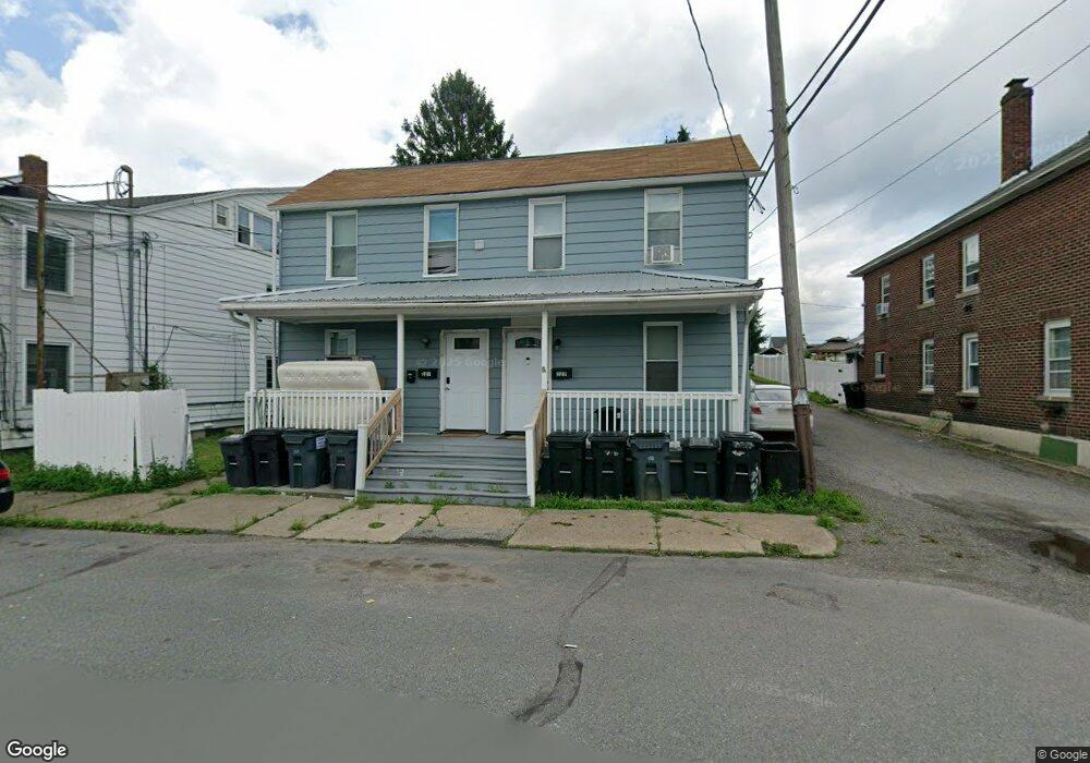
227 W Sherman St McAdoo, PA 18237
Estimated Value: $134,000 - $219,000
4
Beds
2
Baths
1,200
Sq Ft
$146/Sq Ft
Est. Value
About This Home
This home is located at 227 W Sherman St, McAdoo, PA 18237 and is currently estimated at $175,667, approximately $146 per square foot. 227 W Sherman St is a home located in Schuylkill County with nearby schools including Hazleton Area High School, Mcadoo Catholic Elementary School, and Holy Family Academy.
Ownership History
Date
Name
Owned For
Owner Type
Purchase Details
Closed on
Oct 20, 2022
Sold by
Darling Colon
Bought by
Walsh Richard
Current Estimated Value
Home Financials for this Owner
Home Financials are based on the most recent Mortgage that was taken out on this home.
Original Mortgage
$260,000
Outstanding Balance
$249,933
Interest Rate
5.89%
Mortgage Type
Credit Line Revolving
Estimated Equity
-$74,266
Purchase Details
Closed on
May 24, 2021
Sold by
Fenkner Leon A and Fenkner Ann Marie
Bought by
Colon Darling
Create a Home Valuation Report for This Property
The Home Valuation Report is an in-depth analysis detailing your home's value as well as a comparison with similar homes in the area
Home Values in the Area
Average Home Value in this Area
Purchase History
| Date | Buyer | Sale Price | Title Company |
|---|---|---|---|
| Walsh Richard | $225,000 | Covenant Abstract | |
| Colon Darling | $47,000 | None Available |
Source: Public Records
Mortgage History
| Date | Status | Borrower | Loan Amount |
|---|---|---|---|
| Open | Walsh Richard | $260,000 |
Source: Public Records
Tax History Compared to Growth
Tax History
| Year | Tax Paid | Tax Assessment Tax Assessment Total Assessment is a certain percentage of the fair market value that is determined by local assessors to be the total taxable value of land and additions on the property. | Land | Improvement |
|---|---|---|---|---|
| 2025 | $1,981 | $25,295 | $2,815 | $22,480 |
| 2024 | $1,835 | $25,295 | $2,815 | $22,480 |
| 2023 | $1,780 | $25,295 | $2,815 | $22,480 |
| 2022 | $1,808 | $25,295 | $2,815 | $22,480 |
| 2021 | $1,743 | $25,295 | $2,815 | $22,480 |
| 2020 | $1,734 | $25,295 | $2,815 | $22,480 |
| 2018 | $1,764 | $25,295 | $2,815 | $22,480 |
| 2017 | $1,714 | $25,295 | $2,815 | $22,480 |
| 2011 | -- | $25,295 | $0 | $0 |
Source: Public Records
Map
Nearby Homes
- 16 N Hancock St
- 36 E Washington St
- 519 S Hancock St
- 126 R E Washington St
- 36 Fourth St
- 0 4th St
- 10 Center St
- 132 Snyder Ave
- 0 Hillside Rd
- 0 Mountain Top Terrace
- 0 Mountain Top Terrace Unit LotWP001 16175658
- 1010 N Green St
- 150 Hill St
- Lot 20-R W Mount Laurel Dr
- 794 Claremont Ave
- 845 S Church St
- 532 Buck Mountain Blvd
- 780 Claremont Ave
- 155 Dietrich Ave
- 0 Ben Titus Rd Unit PASK2023932
- 219 W Sherman St
- 223 W Sherman St
- 217 E Sherman St
- 217 W Sherman St
- 241 W Sherman St
- 233 W Sherman St
- 233 W Sherman St
- 215 W Sherman St
- 233 Rear W Sherman St
- 243 W Sherman St
- 209 W Sherman St
- 226 W Sherman St
- 207 W Sherman St
- 207 W Sherman St
- 31 S Logan St
- 205 W Sherman St
- 203 E Sherman St
- 29 S Logan St
- 222 W Sherman St Unit 224
- 306 W Sherman St