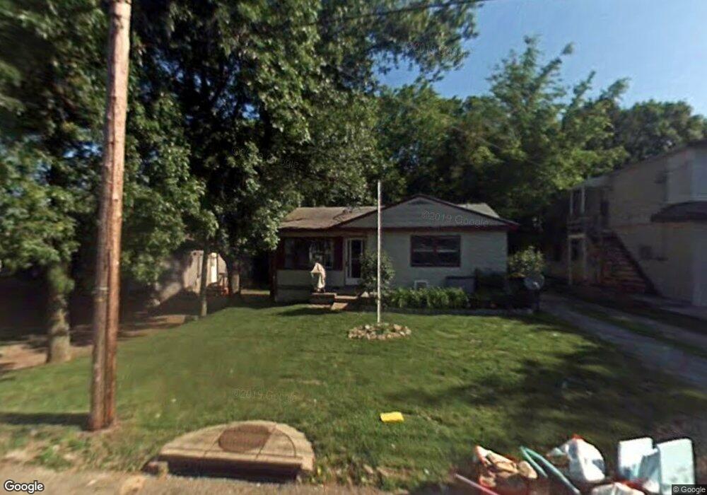
227 W Way St Barberton, OH 44203
North Barberton NeighborhoodEstimated Value: $118,890 - $140,000
2
Beds
2
Baths
804
Sq Ft
$162/Sq Ft
Est. Value
About This Home
This home is located at 227 W Way St, Barberton, OH 44203 and is currently estimated at $129,973, approximately $161 per square foot. 227 W Way St is a home located in Summit County with nearby schools including Barberton Middle School, Barberton Intermediate School 3-5, and Barberton High School.
Ownership History
Date
Name
Owned For
Owner Type
Purchase Details
Closed on
Apr 23, 2021
Sold by
Jacobs Donald A
Bought by
Christopher Nannette
Current Estimated Value
Purchase Details
Closed on
Nov 6, 2008
Sold by
Federal Home Loan Mortgage Corporation
Bought by
Jacobs Donald A
Purchase Details
Closed on
Aug 14, 2008
Sold by
Yanders Ladonna M
Bought by
Federal Home Loan Mortgage Corporation
Purchase Details
Closed on
Nov 25, 1996
Sold by
Est Betty M Kirk
Bought by
Yanders Stewart J and Yanders Ladonna M
Home Financials for this Owner
Home Financials are based on the most recent Mortgage that was taken out on this home.
Original Mortgage
$47,950
Interest Rate
7.94%
Mortgage Type
New Conventional
Create a Home Valuation Report for This Property
The Home Valuation Report is an in-depth analysis detailing your home's value as well as a comparison with similar homes in the area
Home Values in the Area
Average Home Value in this Area
Purchase History
| Date | Buyer | Sale Price | Title Company |
|---|---|---|---|
| Christopher Nannette | $61,470 | None Available | |
| Jacobs Donald A | -- | Attorney | |
| Federal Home Loan Mortgage Corporation | $40,000 | None Available | |
| Yanders Stewart J | $50,500 | -- |
Source: Public Records
Mortgage History
| Date | Status | Borrower | Loan Amount |
|---|---|---|---|
| Previous Owner | Yanders Stewart J | $47,950 |
Source: Public Records
Tax History Compared to Growth
Tax History
| Year | Tax Paid | Tax Assessment Tax Assessment Total Assessment is a certain percentage of the fair market value that is determined by local assessors to be the total taxable value of land and additions on the property. | Land | Improvement |
|---|---|---|---|---|
| 2025 | $1,323 | $32,918 | $11,144 | $21,774 |
| 2024 | $1,191 | $32,918 | $11,144 | $21,774 |
| 2023 | $1,323 | $32,918 | $11,144 | $21,774 |
| 2022 | $1,240 | $21,515 | $7,284 | $14,231 |
| 2021 | $1,272 | $21,515 | $7,284 | $14,231 |
| 2020 | $1,245 | $21,510 | $7,280 | $14,230 |
| 2019 | $1,215 | $19,010 | $6,410 | $12,600 |
| 2018 | $1,197 | $19,010 | $6,410 | $12,600 |
| 2017 | $1,213 | $19,010 | $6,410 | $12,600 |
| 2016 | $1,215 | $19,010 | $6,410 | $12,600 |
| 2015 | $1,213 | $19,010 | $6,410 | $12,600 |
| 2014 | $1,207 | $19,010 | $6,410 | $12,600 |
| 2013 | $1,209 | $19,750 | $6,410 | $13,340 |
Source: Public Records
Map
Nearby Homes
- 645 Madison Ave
- 690 Saint Clair Ave
- 103 Mitchell St
- 44 W Summit St
- 0 Wooster Rd N
- 613 Wooster Rd N
- 146 Hermann St
- 213 Hermann St
- 30 W Hiram St
- 250 Evergreen St
- 818 N Summit St
- 137 Hermann St
- 277 Glenn St
- 1924 Caroline Ave
- 1960 Newton St
- 412 Grandview Ave
- 143 Glenn St
- 320 Lincoln Ave Unit 322
- 46 Brown St
- 0 Romig Ave