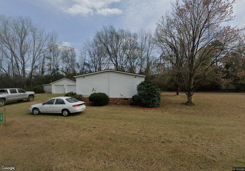
2270 Brofford Rd Effingham, SC 29541
Estimated Value: $60,519 - $178,000
--
Bed
--
Bath
2,333
Sq Ft
$50/Sq Ft
Est. Value
About This Home
This home is located at 2270 Brofford Rd, Effingham, SC 29541 and is currently estimated at $117,630, approximately $50 per square foot. 2270 Brofford Rd is a home located in Florence County with nearby schools including Savannah Grove Elementary School, Southside Middle School, and South Florence High School.
Ownership History
Date
Name
Owned For
Owner Type
Purchase Details
Closed on
Aug 23, 2021
Sold by
Cusack Toni J
Bought by
Bailey Robert E and Bailey Robert E
Current Estimated Value
Purchase Details
Closed on
Jun 26, 2018
Sold by
Cusack Myatt Dean and Cusack Pattillo Dean
Bought by
South Carolina Department Of Transportat
Purchase Details
Closed on
Jun 1, 2018
Sold by
Pattillo Dean Cusack and Myatt Dean
Bought by
Cusack Toni J
Purchase Details
Closed on
Jun 16, 2003
Sold by
Myatt George
Bought by
Myatt Dean
Create a Home Valuation Report for This Property
The Home Valuation Report is an in-depth analysis detailing your home's value as well as a comparison with similar homes in the area
Home Values in the Area
Average Home Value in this Area
Purchase History
| Date | Buyer | Sale Price | Title Company |
|---|---|---|---|
| Bailey Robert E | $25,000 | None Available | |
| South Carolina Department Of Transportat | $500 | None Available | |
| Cusack Toni J | -- | None Available | |
| Cusack Toni J | -- | None Listed On Document | |
| Myatt Dean | -- | -- |
Source: Public Records
Tax History Compared to Growth
Tax History
| Year | Tax Paid | Tax Assessment Tax Assessment Total Assessment is a certain percentage of the fair market value that is determined by local assessors to be the total taxable value of land and additions on the property. | Land | Improvement |
|---|---|---|---|---|
| 2024 | $159 | $1,067 | $502 | $565 |
| 2023 | $159 | $1,068 | $502 | $566 |
| 2022 | $908 | $1,068 | $502 | $566 |
| 2021 | $0 | $1,380 | $0 | $0 |
| 2020 | $0 | $1,380 | $0 | $0 |
| 2019 | $116 | $932 | $502 | $430 |
| 2018 | $100 | $1,380 | $0 | $0 |
| 2017 | $100 | $1,380 | $0 | $0 |
| 2016 | $0 | $1,380 | $0 | $0 |
| 2015 | -- | $1,380 | $0 | $0 |
| 2014 | -- | $932 | $502 | $430 |
Source: Public Records
Map
Nearby Homes
- 2222 Ashford Dr
- 2230 Ashford Dr
- 2304 S Point Rd
- 1717 Full Moon Rd
- 2206 Wellesly Ct
- 1809 Taylor Ct
- 1311 Queens Ferry Rd
- 2125 Sanderling Dr
- 2113 Sanderling Dr
- 1831 Wax Myrtle Dr
- 0 State Road S-21-869
- 1110 3rd Loop Rd
- 1658 Jefferson Dr
- 1801 Woods Dr
- 2303 W McCown Dr
- 1719 Furman Dr
- 1779 S Saint Anthony Ave
- 2157 Pathway Ct
- 1682 Jefferson Dr
- 1770 Woods Dr
- 2271 Brofford Rd
- 2297 Alligator Rd
- 2250 Brofford Rd
- 2205 Alligator Rd
- 2218 Ashford Dr
- 2210 Ashford Dr
- 2313 Alligator Rd
- 2204 Ashford Dr
- 2321 Alligator Rd
- 2227 Ashford Dr
- 2205 Ashford Dr
- 2302 Alligator Rd
- 2308 South Point Rd
- 2120 Ashford Dr
- 2240 Ashford Dr
- 2231 Ashford Dr
- 2132 Ashford Dr
- 2314 South Point Rd
- 2310 Alligator Rd
- 2246 Ashford Dr