2270 Laurel Oak Dr Unit 294 Howell, MI 48855
Estimated Value: $330,589 - $387,000
--
Bed
2
Baths
1,394
Sq Ft
$256/Sq Ft
Est. Value
About This Home
This home is located at 2270 Laurel Oak Dr Unit 294, Howell, MI 48855 and is currently estimated at $356,897, approximately $256 per square foot. 2270 Laurel Oak Dr Unit 294 is a home located in Livingston County with nearby schools including Ruahmah J. Hutchings Elementary, Parker Middle School, and Howell High School.
Ownership History
Date
Name
Owned For
Owner Type
Purchase Details
Closed on
Jan 6, 2017
Sold by
Ann Williamson Connie Beth
Bought by
Mansfield Matthew W and Mansfield Isabella J
Current Estimated Value
Home Financials for this Owner
Home Financials are based on the most recent Mortgage that was taken out on this home.
Original Mortgage
$204,444
Outstanding Balance
$168,529
Interest Rate
4.13%
Mortgage Type
New Conventional
Estimated Equity
$188,368
Purchase Details
Closed on
Jul 15, 2002
Sold by
Eskola James N and Eskola Ann E
Bought by
Veil James D and Veil Amy D
Home Financials for this Owner
Home Financials are based on the most recent Mortgage that was taken out on this home.
Original Mortgage
$180,000
Interest Rate
6.8%
Purchase Details
Closed on
Aug 10, 1999
Sold by
E J Dombrowski Inc
Bought by
Eskola James N and Eskola Ann E
Purchase Details
Closed on
Apr 6, 1999
Sold by
M & 59 Inc
Bought by
E J Dombrowski Inc
Create a Home Valuation Report for This Property
The Home Valuation Report is an in-depth analysis detailing your home's value as well as a comparison with similar homes in the area
Home Values in the Area
Average Home Value in this Area
Purchase History
| Date | Buyer | Sale Price | Title Company |
|---|---|---|---|
| Mansfield Matthew W | $202,400 | None Available | |
| Veil James D | $189,500 | American Title Co | |
| Eskola James N | $180,000 | Metropolitan Title Company | |
| E J Dombrowski Inc | $76,000 | -- |
Source: Public Records
Mortgage History
| Date | Status | Borrower | Loan Amount |
|---|---|---|---|
| Open | Mansfield Matthew W | $204,444 | |
| Previous Owner | Veil James D | $180,000 |
Source: Public Records
Tax History Compared to Growth
Tax History
| Year | Tax Paid | Tax Assessment Tax Assessment Total Assessment is a certain percentage of the fair market value that is determined by local assessors to be the total taxable value of land and additions on the property. | Land | Improvement |
|---|---|---|---|---|
| 2025 | $1,808 | $154,500 | $0 | $0 |
| 2024 | $1,757 | $150,500 | $0 | $0 |
| 2023 | $1,678 | $135,300 | $0 | $0 |
| 2022 | $2,351 | $112,400 | $0 | $0 |
| 2021 | $2,351 | $118,400 | $0 | $0 |
| 2020 | $2,351 | $112,400 | $0 | $0 |
| 2019 | $2,318 | $102,500 | $0 | $0 |
| 2018 | $2,290 | $95,500 | $0 | $0 |
| 2017 | $1,777 | $92,500 | $0 | $0 |
| 2016 | $1,767 | $89,000 | $0 | $0 |
| 2014 | $1,643 | $74,900 | $0 | $0 |
| 2012 | $1,643 | $69,300 | $0 | $0 |
Source: Public Records
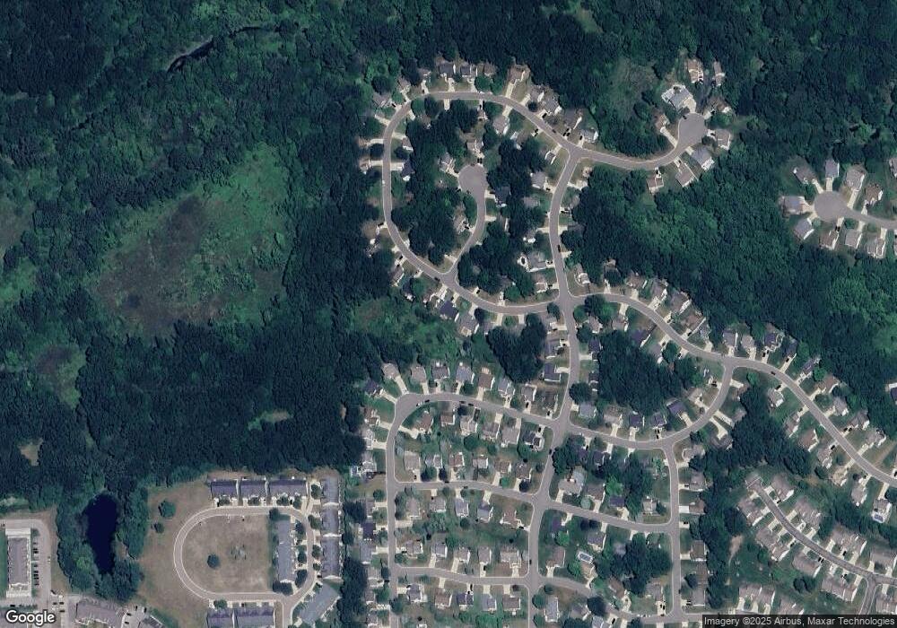
Map
Nearby Homes
- 2511 Kerria Dr Unit 42
- 1570 Princewood Blvd
- 2495 Moore Place
- 1400 Oakcrest Rd
- 1633 Frech Ln
- VACANT LOT Thompson Shore Dr
- 3040 Bogues View Dr
- 2500 Fisher Rd
- 559 Cannonade Loop
- 475 Cannonade Loop
- 304 Victoria Park Dr Unit 45
- The Austin Plan at Broadmoor
- The Charlotte Plan at Broadmoor
- The Harrison Plan at Broadmoor
- The Bloomington Plan at Broadmoor
- The Columbia Plan at Broadmoor
- 571 Cannonade Loop
- 523 Cannonade Loop
- 583 Cannonade Loop
- 1773 Welland St
- 2282 Laurel Oak Dr
- 2258 Laurel Oak Dr Unit 293
- 2246 Laurel Oak Dr Unit 292
- 2294 Laurel Oak Dr Unit 296
- 2277 Laurel Oak Dr Unit 257
- 2427 Hickory Circle Dr Unit 110
- 2301 Laurel Oak Dr Unit 256
- 2433 Hickory Circle Dr Unit 111
- 2096 Saddle Ridge Ct Unit 266
- 2234 Laurel Oak Dr
- 2421 Hickory Circle Dr Unit 109
- 2306 Laurel Oak Dr
- 2439 Hickory Circle Dr Unit 112
- 2087 Saddle Ridge Ct Unit 258
- 2415 Hickory Circle Dr Unit 108
- 2219 Laurel Oak Dr Unit 267
- 2074 Saddle Ridge Ct Unit 265
- 2445 Hickory Circle Dr
- 1843 Hickory Hills Blvd Unit 136
- 2222 Laurel Oak Dr Unit 290