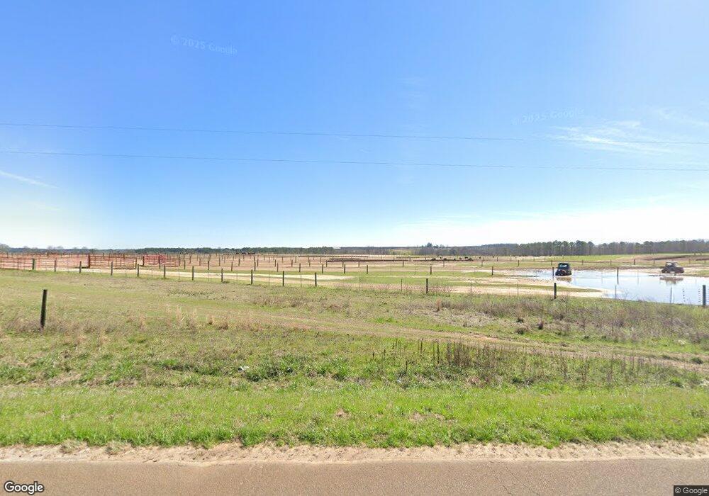
2270 Millard Kennedy Rd Preston, GA 31824
Estimated Value: $326,000
3
Beds
2
Baths
2,338
Sq Ft
$139/Sq Ft
Est. Value
About This Home
This home is located at 2270 Millard Kennedy Rd, Preston, GA 31824 and is currently estimated at $326,000, approximately $139 per square foot. 2270 Millard Kennedy Rd is a home with nearby schools including Webster County Elementary/Middle School and Webster County High School.
Ownership History
Date
Name
Owned For
Owner Type
Purchase Details
Closed on
May 3, 2022
Sold by
Moore H L
Bought by
Moore H L
Current Estimated Value
Purchase Details
Closed on
Aug 26, 1988
Sold by
Moore George D and Moore H
Bought by
Moore H L
Purchase Details
Closed on
Dec 29, 1980
Sold by
Ansley Ben
Bought by
Moore George D and Moore H
Purchase Details
Closed on
Aug 5, 1966
Sold by
Patton Victor
Bought by
Ansley Ben
Purchase Details
Closed on
Nov 30, 1964
Bought by
Patton Victor
Create a Home Valuation Report for This Property
The Home Valuation Report is an in-depth analysis detailing your home's value as well as a comparison with similar homes in the area
Home Values in the Area
Average Home Value in this Area
Purchase History
| Date | Buyer | Sale Price | Title Company |
|---|---|---|---|
| Moore H L | -- | -- | |
| Moore H L | -- | -- | |
| Moore George D | $89,300 | -- | |
| Ansley Ben | $29,500 | -- | |
| Patton Victor | $19,800 | -- |
Source: Public Records
Tax History Compared to Growth
Tax History
| Year | Tax Paid | Tax Assessment Tax Assessment Total Assessment is a certain percentage of the fair market value that is determined by local assessors to be the total taxable value of land and additions on the property. | Land | Improvement |
|---|---|---|---|---|
| 2024 | $1,112 | $74,720 | $74,720 | $0 |
| 2023 | $808 | $74,720 | $74,720 | $0 |
| 2022 | $4,295 | $164,760 | $104,240 | $60,520 |
| 2021 | $2,759 | $164,760 | $104,240 | $60,520 |
| 2020 | $2,728 | $164,760 | $104,240 | $60,520 |
| 2019 | $2,697 | $164,760 | $104,240 | $60,520 |
| 2018 | $2,667 | $164,760 | $104,240 | $60,520 |
| 2017 | $2,614 | $164,800 | $104,280 | $60,520 |
| 2016 | $2,636 | $164,800 | $104,280 | $60,520 |
| 2015 | -- | $164,800 | $104,280 | $60,520 |
| 2014 | -- | $164,800 | $104,280 | $60,520 |
| 2013 | -- | $164,800 | $104,280 | $60,520 |
Source: Public Records
Map
Nearby Homes
- 115 Deer Camp Rd
- 0 U S Highway 280
- 3176 E Centerpoint Rd
- 000 Broad St
- 213 Broad St
- 0 Broad St Unit 10460253
- 1469 Wall St
- 10200 U S Highway 280
- 6310 Georgia 520
- 2055 Payne Pond Rd
- 0 Peach Orchard Rd
- 1100 Churchill Rd
- 0 Bishop Johnson Circle Rd
- 0 Fox Creek Rd Unit 10581761
- 0 Loven Mill Rd
- 266 +/- AC Loven Mill Rd
- 2373 Moncus Rd
- 910 U S Highway 280
- 151 College St NE
- 3649 Benevolence Hwy
