2270 Parkside Dr Austell, GA 30106
Estimated Value: $245,548 - $288,000
2
Beds
2
Baths
1,168
Sq Ft
$225/Sq Ft
Est. Value
About This Home
This home is located at 2270 Parkside Dr, Austell, GA 30106 and is currently estimated at $262,637, approximately $224 per square foot. 2270 Parkside Dr is a home located in Cobb County with nearby schools including Austell Elementary School, Garrett Middle School, and South Cobb High School.
Ownership History
Date
Name
Owned For
Owner Type
Purchase Details
Closed on
Nov 22, 2010
Sold by
Hud & Housing Of Urban Dev
Bought by
Carter Jondra
Current Estimated Value
Purchase Details
Closed on
Jun 1, 2010
Sold by
Midfirst Bk
Bought by
Hud-Housing Of Urban Dev
Purchase Details
Closed on
Nov 4, 2005
Sold by
Burns Greg K
Bought by
Stansberry Jason
Home Financials for this Owner
Home Financials are based on the most recent Mortgage that was taken out on this home.
Original Mortgage
$115,192
Interest Rate
5.84%
Mortgage Type
FHA
Create a Home Valuation Report for This Property
The Home Valuation Report is an in-depth analysis detailing your home's value as well as a comparison with similar homes in the area
Home Values in the Area
Average Home Value in this Area
Purchase History
We collect this data history from publicly available records. To have your information removed, we recommend requesting removal directly through your county’s website.
| Date | Buyer | Sale Price | Title Company |
|---|---|---|---|
| Carter Jondra | $31,000 | -- | |
| Hud-Housing Of Urban Dev | -- | -- | |
| Midfirst Bk | $114,603 | -- | |
| Stansberry Jason | $117,000 | -- |
Source: Public Records
Mortgage History
We collect this data history from publicly available records. To have your information removed, we recommend requesting removal directly through your county’s website.
| Date | Status | Borrower | Loan Amount |
|---|---|---|---|
| Previous Owner | Stansberry Jason | $115,192 |
Source: Public Records
Tax History
| Year | Tax Paid | Tax Assessment Tax Assessment Total Assessment is a certain percentage of the fair market value that is determined by local assessors to be the total taxable value of land and additions on the property. | Land | Improvement |
|---|---|---|---|---|
| 2025 | $420 | $95,064 | $20,800 | $74,264 |
| 2024 | $2,011 | $95,064 | $20,800 | $74,264 |
| 2023 | $1,491 | $93,432 | $16,800 | $76,632 |
| 2022 | $1,851 | $85,708 | $16,800 | $68,908 |
| 2021 | $1,640 | $59,648 | $12,000 | $47,648 |
| 2020 | $1,640 | $59,648 | $12,000 | $47,648 |
| 2019 | $1,449 | $52,712 | $12,000 | $40,712 |
| 2018 | $1,150 | $41,820 | $12,000 | $29,820 |
| 2017 | $1,079 | $41,820 | $12,000 | $29,820 |
| 2016 | $831 | $32,220 | $6,400 | $25,820 |
| 2015 | $851 | $32,220 | $6,400 | $25,820 |
| 2014 | $626 | $23,480 | $0 | $0 |
Source: Public Records
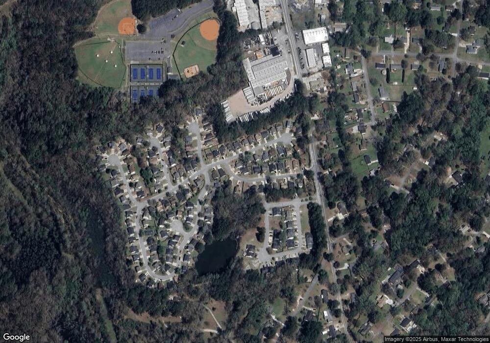
Map
Nearby Homes
- 0 Lakeview Ct Unit 10711020
- 1213 Farmers Loop Unit 44
- 2125 Clay Rd SW
- 2334 Perkerson Mill Rd SW
- 2573 Chimney Hill Place
- 5164 Medford Ln
- 4769 Nature Trail
- 2717 Flintlock Place
- 2918 Egret Ln
- 2739 Whitewater Ct
- 4747 Nelda Dr
- 4908 Willow Ln
- 2711 Greystone Ct
- 4809 Hemlock Dr
- 2415 Wales Dr
- 5020 Bishops Row
- 5090 Bishops Row
- 0 Clay Rd SW
- 5025 Bishops Row SW
- 2396 Wales Dr
- 2280 Parkside Dr
- 2260 Parkside Dr
- 2445 Park Ave
- 2435 Park Ave
- 2275 Parkside Dr
- 2295 Parkside Dr Unit 1
- 2250 Parkside Dr
- 2250 Parkside Dr
- 2485 Park Ave
- 2265 Parkside Dr Unit 7
- 2265 Parkside Dr
- 2305 Parkside Dr
- 2425 Park Ave
- 2495 Park Ave
- 2450 Park Ave
- 2460 Park Ave
- 2240 Parkside Dr
- 2255 Parkside Dr
- 2440 Park Ave
- 2805 Park Ave
Your Personal Tour Guide
Ask me questions while you tour the home.