2270 West Point Rd Lagrange, GA 30240
Estimated Value: $367,455
--
Bed
2
Baths
11,881
Sq Ft
$31/Sq Ft
Est. Value
About This Home
This home is located at 2270 West Point Rd, Lagrange, GA 30240 and is currently estimated at $367,455, approximately $30 per square foot. 2270 West Point Rd is a home located in Troup County with nearby schools including Berta Weathersbee Elementary School, Whitesville Road Elementary School, and Long Cane Elementary School.
Ownership History
Date
Name
Owned For
Owner Type
Purchase Details
Closed on
Jan 30, 2023
Sold by
Whitley Joyce L
Bought by
Saleem Muhammad Zahid
Current Estimated Value
Purchase Details
Closed on
Nov 1, 1985
Bought by
Whitley Ernest R
Purchase Details
Closed on
Apr 25, 1984
Purchase Details
Closed on
Jan 1, 1966
Create a Home Valuation Report for This Property
The Home Valuation Report is an in-depth analysis detailing your home's value as well as a comparison with similar homes in the area
Home Values in the Area
Average Home Value in this Area
Purchase History
| Date | Buyer | Sale Price | Title Company |
|---|---|---|---|
| Saleem Muhammad Zahid | $300,000 | -- | |
| Whitley Joyce C | -- | -- | |
| Whitley Ernest R | $55,000 | -- | |
| -- | -- | -- | |
| -- | -- | -- |
Source: Public Records
Tax History Compared to Growth
Tax History
| Year | Tax Paid | Tax Assessment Tax Assessment Total Assessment is a certain percentage of the fair market value that is determined by local assessors to be the total taxable value of land and additions on the property. | Land | Improvement |
|---|---|---|---|---|
| 2024 | $5,559 | $203,812 | $75,400 | $128,412 |
| 2023 | $5,487 | $520 | $0 | $520 |
| 2022 | $10,890 | $390,172 | $128,160 | $262,012 |
| 2021 | $10,676 | $353,964 | $116,000 | $237,964 |
| 2020 | $10,676 | $353,964 | $116,000 | $237,964 |
| 2019 | $10,436 | $346,020 | $116,000 | $230,020 |
| 2018 | $10,405 | $345,008 | $116,000 | $229,008 |
| 2017 | $10,405 | $345,008 | $116,000 | $229,008 |
| 2016 | $10,405 | $345,008 | $116,000 | $229,008 |
| 2015 | $10,773 | $356,608 | $127,600 | $229,008 |
| 2014 | $10,791 | $356,608 | $127,600 | $229,008 |
| 2013 | -- | $356,608 | $127,600 | $229,008 |
Source: Public Records
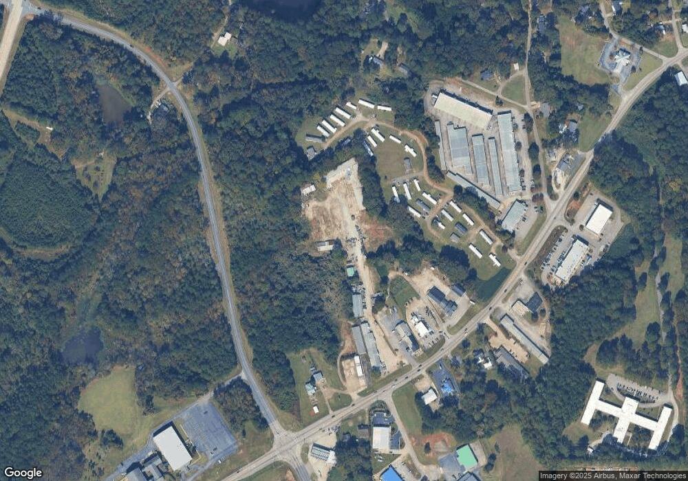
Map
Nearby Homes
- 141 Avery Dr
- 0 Unit 10514554
- 0 Bradfield Dr Unit 10568803
- 37 Overbrook Dr
- 167 S Kight Dr
- 212 Aster Way
- 808 S Fling Rd
- 101 Crown St Unit LOT 5
- 509 Connie Dr
- 102 Crown St Unit LOT 1
- The Rhodes Plan at Crown Street Cottages
- The Truitt Plan at Crown Street Cottages
- The Callaway Plan at Crown Street Cottages
- 802 Monroe St
- 146 Whitaker Rd
- 205 Grady St
- 223 Pinehaven Dr
- 119 Jones St
- 608 Wilburn Ave
- 610 Wilburn Ave
- 77 Avery Ln
- 59 Avery Ln
- 379 Avery Ln
- 2222 W Point Rd
- 2222 West Point Rd
- 2282 West Point Rd Unit 2282-2302
- 2282 West Point Rd Unit 2282-2302
- 22 Avery Ln
- 0 Avery Dr Unit 7290711
- 0 Avery Dr Unit 8371178
- 76 Avery Ln
- 147 Avery Ln
- 205 Avery Ln
- 141 Avery Ln
- 46 Avery Dr
- 75 Avery Dr
- 2302 West Point Rd
- 149 Avery Ln
- 107 Avery Dr
- 2227 West Point Rd