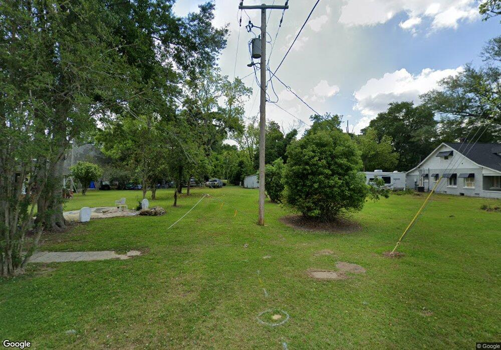
22701 Highway 85 S Robertsdale, AL 36567
Estimated Value: $675,000 - $1,043,000
6
Beds
5
Baths
3,900
Sq Ft
$227/Sq Ft
Est. Value
About This Home
This home is located at 22701 Highway 85 S, Robertsdale, AL 36567 and is currently estimated at $883,654, approximately $226 per square foot. 22701 Highway 85 S is a home located in Baldwin County with nearby schools including Robertsdale Elementary School, Central Baldwin Middle School, and Robertsdale High School.
Ownership History
Date
Name
Owned For
Owner Type
Purchase Details
Closed on
Oct 14, 2022
Sold by
Hosman Joint Revocable Trust
Bought by
Hosman Angia L and Hosman Donald P
Current Estimated Value
Home Financials for this Owner
Home Financials are based on the most recent Mortgage that was taken out on this home.
Original Mortgage
$352,678
Interest Rate
6.29%
Mortgage Type
New Conventional
Purchase Details
Closed on
Oct 14, 2020
Sold by
Hosman Angia L and Hosman Donald P
Bought by
Hosman Joint Revocable Trust
Purchase Details
Closed on
Sep 29, 2009
Sold by
Mccleary Catherine Ruth Ann and Estate Of Patricia G Mccleary
Bought by
Hosman Joint Revocable Trust
Home Financials for this Owner
Home Financials are based on the most recent Mortgage that was taken out on this home.
Original Mortgage
$408,500
Interest Rate
5.11%
Mortgage Type
New Conventional
Create a Home Valuation Report for This Property
The Home Valuation Report is an in-depth analysis detailing your home's value as well as a comparison with similar homes in the area
Home Values in the Area
Average Home Value in this Area
Purchase History
| Date | Buyer | Sale Price | Title Company |
|---|---|---|---|
| Hosman Angia L | $683,752 | Amrock | |
| Hosman Joint Revocable Trust | $684,000 | Amrock | |
| Hosman Joint Revocable Trust | -- | None Available |
Source: Public Records
Mortgage History
| Date | Status | Borrower | Loan Amount |
|---|---|---|---|
| Previous Owner | Hosman Angia L | $352,678 | |
| Previous Owner | Hosman Joint Revocable Trust | $408,500 |
Source: Public Records
Tax History Compared to Growth
Tax History
| Year | Tax Paid | Tax Assessment Tax Assessment Total Assessment is a certain percentage of the fair market value that is determined by local assessors to be the total taxable value of land and additions on the property. | Land | Improvement |
|---|---|---|---|---|
| 2024 | $1,088 | $45,200 | $5,220 | $39,980 |
| 2023 | $1,317 | $53,540 | $5,880 | $47,660 |
| 2022 | $1,092 | $45,180 | $0 | $0 |
| 2021 | $861 | $40,760 | $0 | $0 |
| 2020 | $820 | $38,840 | $0 | $0 |
| 2019 | $778 | $36,880 | $0 | $0 |
| 2018 | $728 | $34,580 | $0 | $0 |
| 2017 | $891 | $33,300 | $0 | $0 |
| 2016 | $855 | $32,000 | $0 | $0 |
| 2015 | $802 | $30,120 | $0 | $0 |
| 2014 | $802 | $30,100 | $0 | $0 |
| 2013 | -- | $30,020 | $0 | $0 |
Source: Public Records
Map
Nearby Homes
- 0 County Road 85 S
- 21333 Oak Ridge Dr
- 22705 Creekfront Dr Unit BW Ph2, L18
- 20976 Gibson Ave
- 22823 Lanier Rd
- 22576 Hamilton St
- 22584 Hamilton St
- 22592 Hamilton St
- 22600 Hamilton St
- 22658 Hamilton St
- 22630 Hamilton St
- 22076 County Road 62 S
- 21061 Gibson Ave
- 22074 County Road 62 S
- CAIRN Plan at Blackwater Ridge
- DENTON Plan at Blackwater Ridge
- RYDER Plan at Blackwater Ridge
- SHELBY Plan at Blackwater Ridge
- JULIA WITH 2 CAR GARAGE Plan at Blackwater Ridge
- CALI Plan at Blackwater Ridge
- 22056 Oak Tree Ln
- 22530 County Road 85 S
- 22198 Oak Tree Ln
- 22101 Hillside Dr
- 0 Oak Tree Ln
- 22400 County Road 85 S
- 22131 Hillside Dr
- 22156 Oak Tree Ln
- 22210 Oak Tree Ln
- 22255 County Road 85 S
- 22351 Hillside Dr
- 22260 J W Wallace Ln
- 22260 J W Wallace Ln
- 22281 Hillside Dr
- 22701 County Road 85 S
- 22140 Walter Wallace Rd
- 22995 County Road 85 S
- 22991 County Road 85 S
- 22290 Oak Tree Ln
- 22935 County Road 85 S
