22701 NE 204th Ave Battle Ground, WA 98604
Estimated Value: $685,089 - $732,000
3
Beds
3
Baths
1,750
Sq Ft
$408/Sq Ft
Est. Value
About This Home
This home is located at 22701 NE 204th Ave, Battle Ground, WA 98604 and is currently estimated at $713,522, approximately $407 per square foot. 22701 NE 204th Ave is a home located in Clark County with nearby schools including Tukes Valley Primary School, Tukes Valley Middle School, and Battle Ground High School.
Ownership History
Date
Name
Owned For
Owner Type
Purchase Details
Closed on
Dec 10, 2001
Sold by
Brown James O
Bought by
Brown James O and Brown Stacy M
Current Estimated Value
Home Financials for this Owner
Home Financials are based on the most recent Mortgage that was taken out on this home.
Original Mortgage
$150,000
Interest Rate
6.57%
Purchase Details
Closed on
Sep 12, 1995
Sold by
Brogley Mark E and Brogley Kimberly A
Bought by
Brown James O
Home Financials for this Owner
Home Financials are based on the most recent Mortgage that was taken out on this home.
Original Mortgage
$144,500
Interest Rate
7.88%
Create a Home Valuation Report for This Property
The Home Valuation Report is an in-depth analysis detailing your home's value as well as a comparison with similar homes in the area
Home Values in the Area
Average Home Value in this Area
Purchase History
| Date | Buyer | Sale Price | Title Company |
|---|---|---|---|
| Brown James O | -- | Fidelity National Title | |
| Brown James O | $189,500 | First American Title Co |
Source: Public Records
Mortgage History
| Date | Status | Borrower | Loan Amount |
|---|---|---|---|
| Closed | Brown James O | $150,000 | |
| Closed | Brown James O | $144,500 |
Source: Public Records
Tax History Compared to Growth
Tax History
| Year | Tax Paid | Tax Assessment Tax Assessment Total Assessment is a certain percentage of the fair market value that is determined by local assessors to be the total taxable value of land and additions on the property. | Land | Improvement |
|---|---|---|---|---|
| 2025 | $5,108 | $640,097 | $272,917 | $367,180 |
| 2024 | $4,407 | $613,061 | $272,917 | $340,144 |
| 2023 | $4,522 | $604,017 | $282,667 | $321,350 |
| 2022 | $4,197 | $566,723 | $244,410 | $322,313 |
| 2021 | $4,289 | $457,812 | $175,439 | $282,373 |
| 2020 | $4,222 | $428,641 | $187,434 | $241,207 |
| 2019 | $3,724 | $411,571 | $176,938 | $234,633 |
| 2018 | $4,269 | $416,524 | $0 | $0 |
| 2017 | $3,614 | $364,061 | $0 | $0 |
| 2016 | $3,574 | $335,930 | $0 | $0 |
| 2015 | $3,539 | $304,865 | $0 | $0 |
| 2014 | -- | $285,518 | $0 | $0 |
| 2013 | -- | $254,776 | $0 | $0 |
Source: Public Records
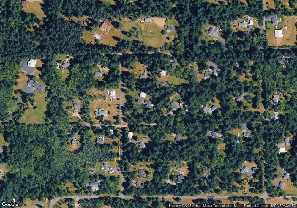
Map
Nearby Homes
- 20015 NE 234th St
- 20607 NE Allworth Rd
- 21821 NE Rock Creek Canyon Rd
- 19815 NE Allworth Rd
- 0 NE 212th Ave
- 22400 NE 216th Cir
- 19301 NE 249th St
- 22814 NE 182nd Ave
- 21017 NE Risto Rd
- 22314 NE 182nd Ave
- 23417 NE Canyon Rd
- 0 212th Ave
- 25307 NE 212th Ave
- 20502 NE 225th Ave
- 20205 NE 190th Ave
- 18205 NE 249th St
- 22414 NE 200th St
- 21405 NE 167th Ave
- 22405 NE 167th Ave
- 19119 NE 204th Ave
- 20518 NE 226th Cir
- 20501 NE 229th St
- 20517 NE 229th St
- 23000 NE 204th Ave
- 22603 NE 204th Ave
- 20519 NE 226th Cir
- 20320 NE 226th Cir
- 20317 NE 229th St
- 20319 NE 226th Cir
- 20802 NE 226th Cir
- 20807 NE 229th Cir
- 20801 NE 226th Cir
- 20302 NE 226th Cir
- 22417 NE 204th Ave
- 20614 NE 224th St
- 20820 NE 224th St
- 20414 NE 229th St
- 20303 NE 226th Cir
- 22704 NE 209th Ave