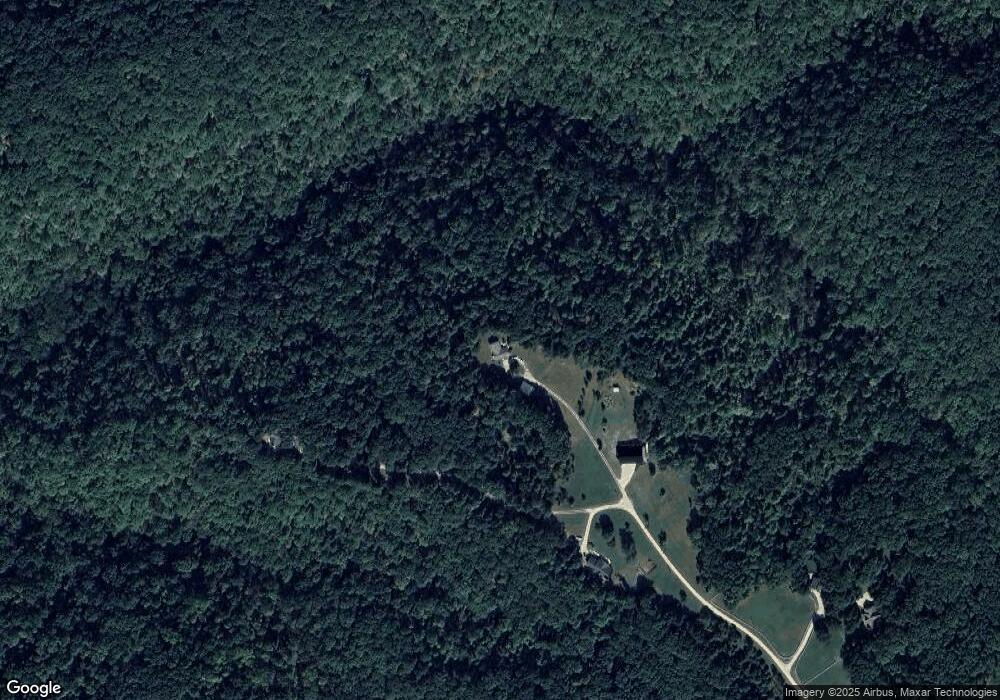
22701 Wheat Field Ln Warrenton, MO 63383
Estimated Value: $466,000 - $542,171
3
Beds
2
Baths
1,850
Sq Ft
$272/Sq Ft
Est. Value
About This Home
This home is located at 22701 Wheat Field Ln, Warrenton, MO 63383 and is currently estimated at $504,086, approximately $272 per square foot. 22701 Wheat Field Ln is a home located in Warren County with nearby schools including Warrior Ridge Elementary School, Black Hawk Middle School, and Warrenton High School.
Ownership History
Date
Name
Owned For
Owner Type
Purchase Details
Closed on
Nov 19, 2018
Sold by
Lester H Reagan Ret
Bought by
Clarke Thomas L and Clarke Janet M
Current Estimated Value
Home Financials for this Owner
Home Financials are based on the most recent Mortgage that was taken out on this home.
Original Mortgage
$130,000
Outstanding Balance
$113,372
Interest Rate
4.8%
Mortgage Type
Unknown
Estimated Equity
$390,714
Create a Home Valuation Report for This Property
The Home Valuation Report is an in-depth analysis detailing your home's value as well as a comparison with similar homes in the area
Home Values in the Area
Average Home Value in this Area
Purchase History
| Date | Buyer | Sale Price | Title Company |
|---|---|---|---|
| Clarke Thomas L | -- | -- |
Source: Public Records
Mortgage History
| Date | Status | Borrower | Loan Amount |
|---|---|---|---|
| Open | Clarke Thomas L | $130,000 |
Source: Public Records
Tax History Compared to Growth
Tax History
| Year | Tax Paid | Tax Assessment Tax Assessment Total Assessment is a certain percentage of the fair market value that is determined by local assessors to be the total taxable value of land and additions on the property. | Land | Improvement |
|---|---|---|---|---|
| 2024 | $2,021 | $34,684 | $7,501 | $27,183 |
| 2023 | $2,021 | $34,684 | $7,501 | $27,183 |
| 2022 | $1,896 | $32,434 | $7,265 | $25,169 |
| 2021 | $1,896 | $32,434 | $7,265 | $25,169 |
| 2020 | $1,905 | $32,434 | $7,265 | $25,169 |
| 2019 | $1,906 | $32,434 | $0 | $0 |
| 2017 | $1,884 | $32,434 | $0 | $0 |
| 2016 | $1,878 | $32,434 | $0 | $0 |
| 2015 | -- | $32,434 | $0 | $0 |
| 2011 | -- | $32,430 | $0 | $0 |
Source: Public Records
Map
Nearby Homes
- 24038 Lone Oak Ln
- 23292 Eagles Roost Ln
- 23891 Wild Horse Farms Rd
- 10 Acres Sunset Trail
- 15.33 Acres Sunset Trail
- 16 + - Acres Sunset Trail
- 29.24 Acres Sunset Trail
- 36.51 Acres Sunset Trail
- 7 acres Chaparral
- 25364 State Highway U
- 0 Pendleton Lost Creek Road 4+ Acres
- 25461 Sky Dr
- 22189 Lost Creek Rd
- 25591 Hunters Ridge
- 1 Hartford @ Pinckney Ridge
- 1 Canterbury @ Pinckney Ridge
- 20 + - Acres Fire Tower Rd
- 22660 Doe Haven Dr
- 23721 Green Meadows
- 0 Pebble Creek Dr Unit MAR25021772
- 0 Wheatfield Ln
- 24387 Wheatfield Ct
- 24364 Wheatfield Ct
- 22878 Eagle Ridge Rd
- 22420 Wheatfield Ln
- 23925 Lone Oak Ln
- 24101 Lone Oak Ln
- 23718 Eagles Roost Ln
- 15 Lone Oak + - Acre Ln
- 15+/- Acre Lone Oak Ln
- 23801 Lone Oak Ln
- 23580 Eagles Roost Ln
- 23641 Eagles Roost Ln
- 16 Wheat Field Ln
- 0 Lone Oak Lane 15 Acres Unit 12005696
- 22034 Old Log Cabin Rd
- 0Lot 26 Log Cabin Rd
- 0Lot 33 Log Cabin Rd
- 64Lot Log Cabin Rd
- 23525 Eagles Roost Ln
