Estimated Value: $569,000 - $598,000
4
Beds
3
Baths
4,490
Sq Ft
$130/Sq Ft
Est. Value
About This Home
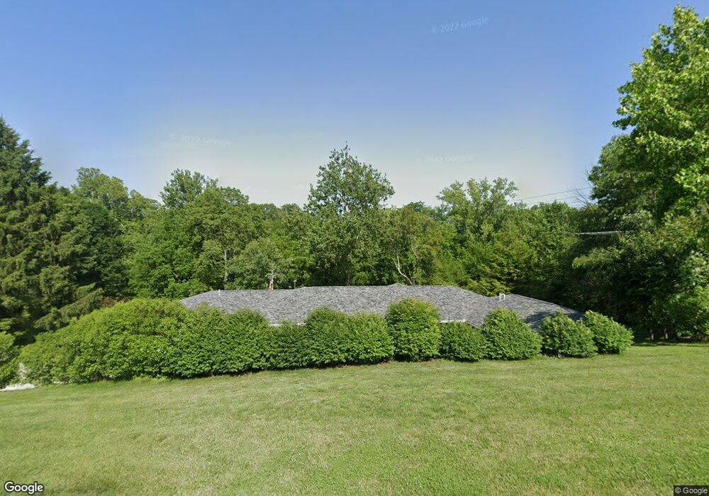
This home is located at 2272 Stevenson Rd, Xenia, OH 45385 and is currently estimated at $582,561, approximately $129 per square foot. 2272 Stevenson Rd is a home located in Greene County with nearby schools including Cedarville Elementary School and Cedarville High School.
Ownership History
Date
Name
Owned For
Owner Type
Purchase Details
Closed on
Apr 30, 2004
Sold by
Hunt Leigh R and Hunt Helen R
Bought by
Smith Richard K
Current Estimated Value
Home Financials for this Owner
Home Financials are based on the most recent Mortgage that was taken out on this home.
Original Mortgage
$256,500
Outstanding Balance
$119,924
Interest Rate
5.46%
Mortgage Type
Unknown
Estimated Equity
$462,637
Purchase Details
Closed on
Oct 14, 1998
Sold by
Hunt Leigh R and Hunt H
Bought by
Hunt Leigh R and Hunt Helen R
Create a Home Valuation Report for This Property
The Home Valuation Report is an in-depth analysis detailing your home's value as well as a comparison with similar homes in the area
Home Values in the Area
Average Home Value in this Area
Purchase History
| Date | Buyer | Sale Price | Title Company |
|---|---|---|---|
| Smith Richard K | $285,000 | -- | |
| Hunt Leigh R | -- | -- |
Source: Public Records
Mortgage History
| Date | Status | Borrower | Loan Amount |
|---|---|---|---|
| Open | Smith Richard K | $256,500 |
Source: Public Records
Tax History Compared to Growth
Tax History
| Year | Tax Paid | Tax Assessment Tax Assessment Total Assessment is a certain percentage of the fair market value that is determined by local assessors to be the total taxable value of land and additions on the property. | Land | Improvement |
|---|---|---|---|---|
| 2024 | $7,556 | $159,140 | $24,300 | $134,840 |
| 2023 | $7,556 | $159,140 | $24,300 | $134,840 |
| 2022 | $6,566 | $125,430 | $21,130 | $104,300 |
| 2021 | $6,650 | $125,430 | $21,130 | $104,300 |
| 2020 | $6,384 | $125,430 | $21,130 | $104,300 |
| 2019 | $6,533 | $105,630 | $18,750 | $86,880 |
| 2018 | $5,748 | $105,930 | $18,750 | $87,180 |
| 2017 | $5,405 | $105,930 | $18,750 | $87,180 |
| 2016 | $5,406 | $97,710 | $18,220 | $79,490 |
| 2015 | $5,419 | $97,710 | $18,220 | $79,490 |
| 2014 | $5,200 | $97,710 | $18,220 | $79,490 |
Source: Public Records
Map
Nearby Homes
- 1287 Brush Row Rd
- 1030 Independence Dr
- 1056 Eastland Dr
- 0 US 42 Unit 941174
- 0 US 42 Unit 1042511
- 2113 Hilltop Rd
- 1764 Highlander Dr
- 955 Oak Dale Dr
- 965 Oak Dale Dr
- 902 N Bickett Rd
- 129 Outerview Dr
- 420 Spring Glen Dr
- 1315 Corry St
- 2537 Ridge Rd
- 15 Sexton Dr
- 1359 Eagles Way
- 310 Allen St
- 202 Allen St
- 1302 Shawnee Dr
- 117 Allen St
- 2318 Stevenson Rd
- 2181 Stevenson Rd
- 2333 Clark Run Rd
- 2339 Clark Run Rd
- 2339 Clark Run Rd
- 2341 Stevenson Rd
- 2330 Clark Run Rd
- 2395 Clark Run Rd
- 1080 Bradfute Rd
- 2070 Stevenson Rd
- 2076 Stevenson Rd
- 2470 Clark Run Rd
- 2153 Clark Run Rd
- 2151 Clark Run Rd
- 918 Lewis Creek Ct
- 870 Lewis Creek Ct
- 1980 Stevenson Rd
- 928 Lewis Creek Ct
- 2141 Clark Run Rd
- 1954 Stevenson Rd