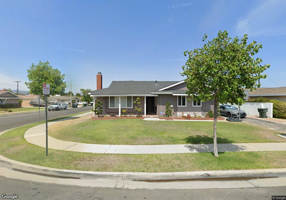
22721 Date Ave Torrance, CA 90505
Southwood Sunray NeighborhoodEstimated Value: $1,262,750 - $1,403,000
About This Home
This home is located at 22721 Date Ave, Torrance, CA 90505 and is currently estimated at $1,339,188, approximately $767 per square foot. 22721 Date Ave is a home located in Los Angeles County with nearby schools including Hickory Elementary School, Madrona Middle School, and Torrance High School.
Ownership History
We collect this data history from publicly available records. To have your information removed, we recommend requesting removal directly through your county’s website.
Purchase Details
Purchase Details
Home Financials for this Owner
Home Financials are based on the most recent Mortgage that was taken out on this home.Purchase Details
Home Financials for this Owner
Home Financials are based on the most recent Mortgage that was taken out on this home.Home Values in the Area
Average Home Value in this Area
Purchase History
We collect this data history from publicly available records. To have your information removed, we recommend requesting removal directly through your county’s website.
| Date | Buyer | Sale Price | Title Company |
|---|---|---|---|
| -- | None Available | ||
| $680,000 | Progressive Title Company | ||
| -- | Assured Quality Title Co |
Mortgage History
We collect this data history from publicly available records. To have your information removed, we recommend requesting removal directly through your county’s website.
| Date | Status | Borrower | Loan Amount |
|---|---|---|---|
| Closed | $100,000 | ||
| Previous Owner | $417,000 |
Tax History
We collect this data history from publicly available records. To have your information removed, we recommend requesting removal directly through your county’s website.
| Year | Tax Paid | Tax Assessment Tax Assessment Total Assessment is a certain percentage of the fair market value that is determined by local assessors to be the total taxable value of land and additions on the property. | Land | Improvement |
|---|---|---|---|---|
| 2025 | $10,358 | $893,175 | $788,103 | $105,072 |
| 2024 | $10,175 | $875,662 | $772,650 | $103,012 |
| 2023 | $9,988 | $858,493 | $757,500 | $100,993 |
| 2022 | $9,856 | $841,661 | $742,648 | $99,013 |
| 2021 | $9,679 | $825,159 | $728,087 | $97,072 |
| 2019 | $9,400 | $800,687 | $706,493 | $94,194 |
| 2018 | $9,095 | $784,989 | $692,641 | $92,348 |
| 2016 | $8,694 | $754,509 | $665,746 | $88,763 |
| 2015 | $8,506 | $743,176 | $655,746 | $87,430 |
| 2014 | $8,143 | $716,000 | $632,000 | $84,000 |
Map
- 22805 Date Ave
- 2605 Sepulveda Blvd Unit 216
- 2329 W 227th St
- 23103 Cerise Ave
- 2507 W 233rd St
- 23118 Pennsylvania Ave
- 23313 Almarosa Ave
- 2584 Woodbury Dr
- 2604 Woodbury Dr
- 2446 W 234th St
- 2727 Orange Ave
- 2556 W 235th St
- 2119 Shelburne Way
- 2210 W 229th St
- 2800 Plaza Del Amo
- 2800 Plaza Del Amo Unit 384
- 2108 Santa fe Ave
- 2239 W 232nd St
- 2513 Apple Ave Unit G
- 2559 Plaza Del Amo Unit 201
- 22711 Date Ave
- 22735 Date Ave
- 22707 Date Ave
- 22741 Date Ave
- 22732 Date Ave
- 2528 W 227th St
- 22736 Date Ave
- 22716 Date Ave
- 22728 Date Ave
- 22710 Date Ave
- 22740 Date Ave
- 22720 Date Ave
- 2536 W 227th St
- 22745 Date Ave
- 22704 Date Ave
- 22724 Date Ave
- 22744 Date Ave
- 2540 W 227th St
- 22906 Wade Ave
- 22904 Wade Ave
Ask me questions while you tour the home.