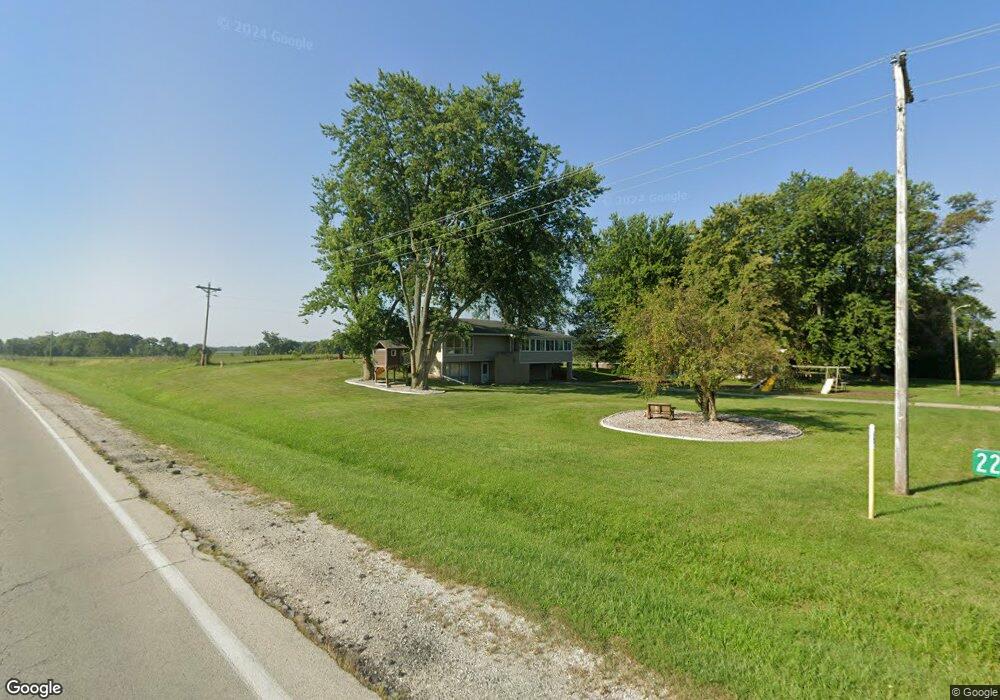
2273 E 1675 North Rd Watseka, IL 60970
Estimated Value: $151,000 - $238,000
Studio
3
Baths
--
Sq Ft
25,962
Sq Ft Lot
About This Home
This home is located at 2273 E 1675 North Rd, Watseka, IL 60970 and is currently estimated at $210,918. 2273 E 1675 North Rd is a home located in Iroquois County with nearby schools including Wanda Kendall Elementary School, Watseka Community High School, and Watseka Junior High School.
Ownership History
Date
Name
Owned For
Owner Type
Purchase Details
Closed on
Mar 27, 2020
Sold by
Fitzjarrell James R and Fitzjarrell Sharon L
Bought by
Stumpfol Courtney Lynn and Stumpfol Aaron
Current Estimated Value
Home Financials for this Owner
Home Financials are based on the most recent Mortgage that was taken out on this home.
Original Mortgage
$70,000
Outstanding Balance
$61,679
Interest Rate
3.12%
Mortgage Type
New Conventional
Estimated Equity
$149,239
Create a Home Valuation Report for This Property
The Home Valuation Report is an in-depth analysis detailing your home's value as well as a comparison with similar homes in the area
Purchase History
| Date | Buyer | Sale Price | Title Company |
|---|---|---|---|
| Stumpfol Courtney Lynn | $100,000 | Homestar Title Company |
Source: Public Records
Mortgage History
| Date | Status | Borrower | Loan Amount |
|---|---|---|---|
| Open | Stumpfol Courtney Lynn | $70,000 |
Source: Public Records
Tax History
| Year | Tax Paid | Tax Assessment Tax Assessment Total Assessment is a certain percentage of the fair market value that is determined by local assessors to be the total taxable value of land and additions on the property. | Land | Improvement |
|---|---|---|---|---|
| 2024 | $3,020 | $47,850 | $3,960 | $43,890 |
| 2023 | $3,020 | $42,340 | $3,500 | $38,840 |
| 2022 | $2,665 | $40,720 | $3,370 | $37,350 |
| 2021 | $2,353 | $36,970 | $3,060 | $33,910 |
| 2020 | $2,725 | $35,440 | $2,930 | $32,510 |
| 2019 | $2,641 | $34,270 | $2,830 | $31,440 |
| 2018 | $2,593 | $33,380 | $2,760 | $30,620 |
| 2017 | $2,198 | $32,790 | $2,710 | $30,080 |
| 2016 | $2,222 | $32,790 | $2,710 | $30,080 |
| 2015 | $2,062 | $32,390 | $2,680 | $29,710 |
| 2014 | $2,062 | $31,800 | $2,630 | $29,170 |
| 2013 | $2,191 | $33,200 | $2,750 | $30,450 |
Source: Public Records
Map
Nearby Homes
- 609 E Porter Ave
- 558 E Martin Ave
- 911 E Locust St
- U S 24
- 600 E Mulberry St
- 410 S Ralph St
- 555 E Mulberry St
- 447 S Ralph St
- 745 E Oak St
- 602 E Cherry St
- 538 E Mulberry St
- 601 E Porter Ave
- 160 E Pendexter Ave
- 615 S 5th St
- 707 E Ash St
- 466 E Cherry St
- 454 S 5th St
- 428 E Cherry St
- 431 S 5th St
- 308 E Mulberry St
- 2273 E 1675 Rd N
- 2269 E 1675 North Rd
- 2274 E 1675 North Rd
- 2274 E 1675 Rd N
- 2267 E 1675 North Rd
- 2270 E 1675 North Rd
- 2268 E 1675 North Rd
- 2263 E 1675 North Rd
- 2274 E 1680 North Rd
- 1682 N State Route 1
- 2373 E County Farm Rd
- 2258 E County Farm Rd
- 2258 E 1730 North Rd
- 2229 E County Farm Rd
- 2229 E 1730 North Rd
- 2334 E 1730 North Rd
- 1706 N 2350 East Rd
- 2257 E 1760 North Rd
- 2257 E 1760 North Rd
- Sec 4 Twp 25n R13w
Your Personal Tour Guide
Ask me questions while you tour the home.