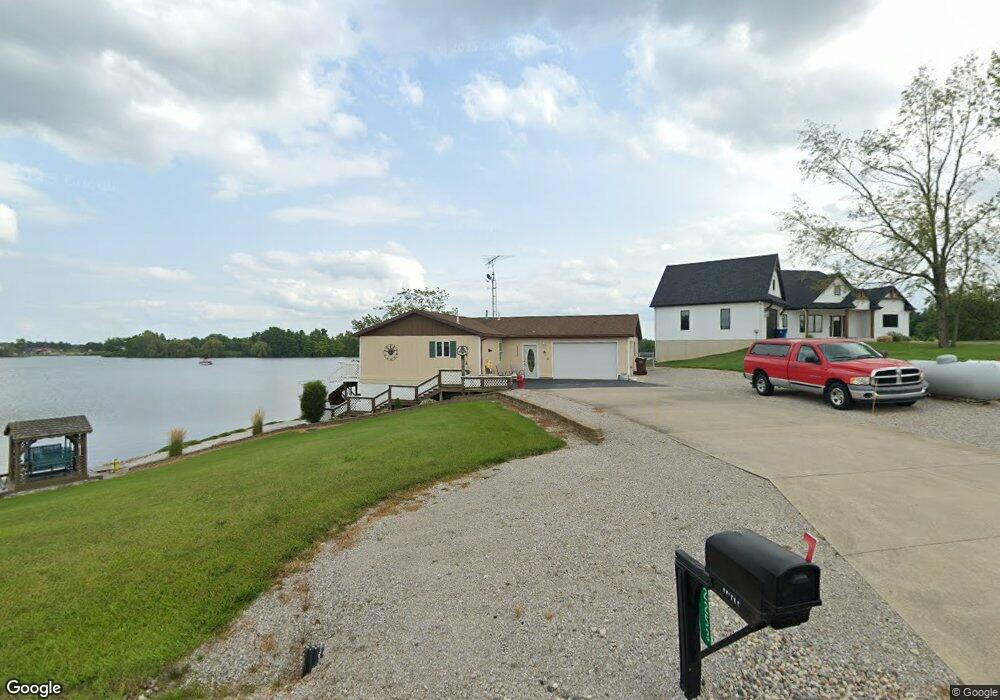
2273 Mindy Ln Camden, MI 49232
Estimated Value: $537,000 - $829,574
--
Bed
4
Baths
2,056
Sq Ft
$320/Sq Ft
Est. Value
About This Home
This home is located at 2273 Mindy Ln, Camden, MI 49232 and is currently estimated at $657,191, approximately $319 per square foot. 2273 Mindy Ln is a home located in Hillsdale County with nearby schools including Camden-Frontier High School and Camden-Frontier K-8 School.
Ownership History
Date
Name
Owned For
Owner Type
Purchase Details
Closed on
Jun 16, 2020
Sold by
Pirrone Julian
Bought by
Pirrone Julian and Pirrone Lori A
Current Estimated Value
Home Financials for this Owner
Home Financials are based on the most recent Mortgage that was taken out on this home.
Original Mortgage
$67,120
Outstanding Balance
$54,963
Interest Rate
4.6%
Mortgage Type
Adjustable Rate Mortgage/ARM
Estimated Equity
$602,228
Purchase Details
Closed on
Jun 15, 2020
Sold by
Grabowski Thomas J and Grabowski Cynthia R
Bought by
Pirrone Julian
Home Financials for this Owner
Home Financials are based on the most recent Mortgage that was taken out on this home.
Original Mortgage
$67,120
Outstanding Balance
$54,963
Interest Rate
4.6%
Mortgage Type
Adjustable Rate Mortgage/ARM
Estimated Equity
$602,228
Purchase Details
Closed on
Oct 11, 2000
Sold by
Gapa Earl E and Gapa Christine P
Bought by
Grabowski Thomas J and Grabowski Cynthia R
Create a Home Valuation Report for This Property
The Home Valuation Report is an in-depth analysis detailing your home's value as well as a comparison with similar homes in the area
Home Values in the Area
Average Home Value in this Area
Purchase History
| Date | Buyer | Sale Price | Title Company |
|---|---|---|---|
| Pirrone Julian | -- | None Available | |
| Pirrone Julian | $83,900 | Vintage Title Agency | |
| Grabowski Thomas J | $45,000 | -- |
Source: Public Records
Mortgage History
| Date | Status | Borrower | Loan Amount |
|---|---|---|---|
| Open | Pirrone Julian | $67,120 |
Source: Public Records
Tax History Compared to Growth
Tax History
| Year | Tax Paid | Tax Assessment Tax Assessment Total Assessment is a certain percentage of the fair market value that is determined by local assessors to be the total taxable value of land and additions on the property. | Land | Improvement |
|---|---|---|---|---|
| 2025 | $8,177 | $401,700 | $0 | $0 |
| 2024 | $3,723 | $378,000 | $0 | $0 |
| 2023 | $3,129 | $302,300 | $0 | $0 |
| 2022 | $2,486 | $68,000 | $0 | $0 |
| 2021 | $1,928 | $45,900 | $0 | $0 |
| 2020 | $1,509 | $44,600 | $0 | $0 |
| 2019 | $1,464 | $44,200 | $0 | $0 |
| 2018 | $1,413 | $45,500 | $0 | $0 |
| 2017 | $1,371 | $45,500 | $0 | $0 |
| 2016 | $1,362 | $36,400 | $0 | $0 |
| 2015 | $359 | $36,400 | $0 | $0 |
| 2013 | $348 | $53,510 | $0 | $0 |
| 2012 | $340 | $53,510 | $0 | $0 |
Source: Public Records
Map
Nearby Homes
- 14934 Heather Ct
- 14364 Horn Dr
- 13551 Hillsdale Rd
- 623-624 Yuma Trail
- 0 Pontiac Trail Unit 10001711
- 988-989 Seneca Dr
- 207 Modoc Trail
- 0 W Territorial Rd Unit 25043960
- 0 W Territorial Rd Unit 11603977
- 213 Navajo Trail
- 155 Navajo Trail
- 600 Seneca Dr
- 234 Seneca Dr
- 131 Choctaw Trail
- 638 Seneca Dr
- 145 Lumbee Ln
- 14621 Laura Ln
- 4002 & 4014 Meadowlawn Dr
- 16993 County Road 12
- 4324 Oak Glen Dr